Top 10 Largest Dams in the World
Top 10 Largest Dams in the World
WhiteClouds builds 3D Raised Relief Maps
Dams are feats of engineering that harness the power of nature, taming rivers and shaping landscapes to serve humanity. These colossal structures provide irrigation, drinking water, hydroelectric power, and flood control while symbolizing human ingenuity. The largest dams in the world are awe-inspiring in their scale and significance, often becoming iconic landmarks in their regions. Here, we explore the top 10 largest dams globally, ranked by their structural volume, diving into their immense sizes, fascinating histories, and the unique stories surrounding them.
#1: Tarbela Dam – 138,600,000 Cubic Yards
The Tarbela Dam in Pakistan is the largest dam in the world by volume, with a structural capacity of 138.6 million cubic yards. Located on the Indus River in Khyber Pakhtunkhwa province, this earth-filled dam was completed in 1976 as part of the Indus Basin Project. Its primary purpose is to provide irrigation water and hydroelectric power. The dam forms the Tarbela Reservoir, which holds over 11 cubic miles of water, making it a lifeline for Pakistan’s agriculture. Anecdotes of its construction highlight the challenges faced due to the massive scale and difficult terrain. Today, Tarbela is not just a vital resource but also a confirmation to Pakistan’s commitment to harnessing its natural resources.
#2: Fort Peck Dam – 96,000,000 Cubic Yards
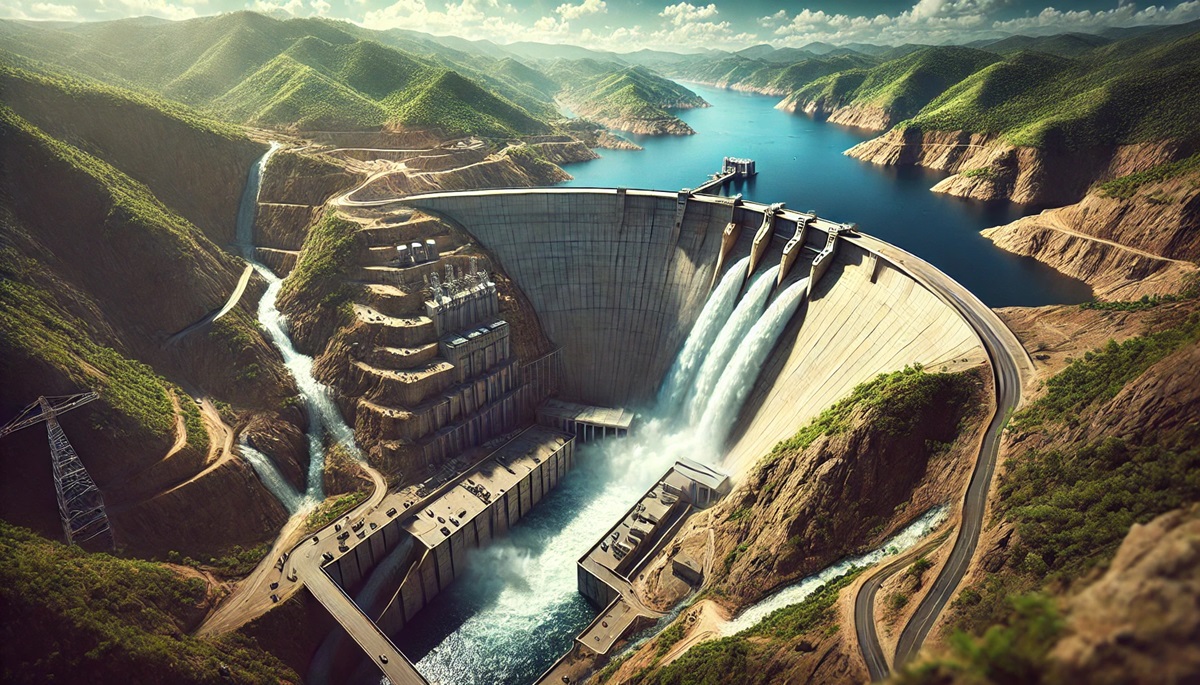
Stretching across the Missouri River in Montana, the Fort Peck Dam is the largest dam in the United States by volume, containing 96 million cubic yards of material. Completed in 1940, it was part of President Roosevelt’s New Deal. This earth-filled dam is a marvel of engineering, creating Fort Peck Lake, which boasts over 1,500 miles of shoreline. The dam’s construction saw the involvement of over 10,000 workers and was fraught with challenges, including the infamous collapse of a section during construction. The resulting reservoir supports flood control, recreation, and wildlife habitat.
#3: Atatürk Dam – 91,500,000 Cubic Yards
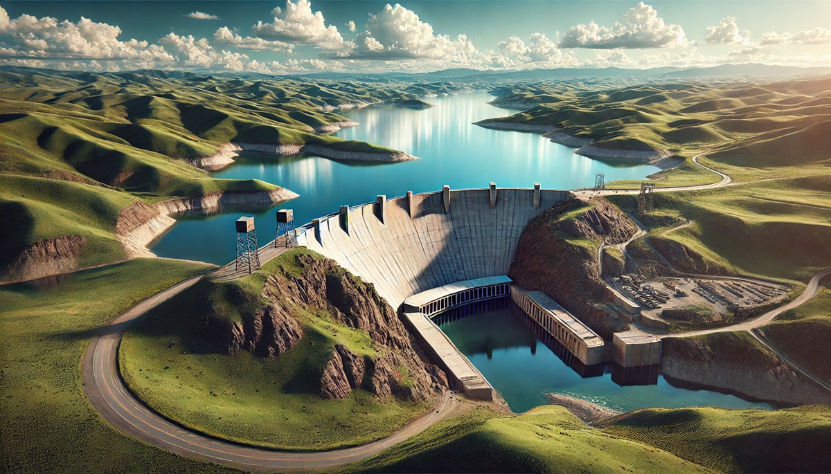
Located on the Euphrates River in Turkey, the Atatürk Dam is a critical component of the Southeastern Anatolia Project. Completed in 1992, this embankment dam has a structural volume of 91.5 million cubic yards. The dam provides irrigation for over 3 million acres and generates significant hydroelectric power. Named after Mustafa Kemal Atatürk, the founder of modern Turkey, the dam symbolizes the nation’s modernization efforts. Anecdotes of the surrounding communities adapting to this monumental change add depth to its story.
#4: San Luis Dam – 77,000,000 Cubic Yards
California’s San Luis Dam, also known as the B.F. Sisk Dam, holds 77 million cubic yards of material, making it one of the largest embankment dams in the world. Completed in 1967, it spans the San Luis Reservoir, which provides critical water storage for California’s Central Valley agriculture. This joint project between state and federal governments underscores the importance of collaboration in addressing water scarcity in arid regions.
#5: Gardiner Dam – 71,000,000 Cubic Yards
Canada’s Gardiner Dam, located on the South Saskatchewan River in Saskatchewan, is the largest embankment dam in the country, with 71 million cubic yards of material. Completed in 1967, it creates Lake Diefenbaker, a reservoir that supports irrigation, recreation, and hydroelectric power. The dam is named after James Gardiner, a prominent Canadian politician. Visitors to the dam often marvel at its massive scale and the role it plays in the region’s agriculture and energy needs.
#6: Mangla Dam – 65,500,000 Cubic Yards
The Mangla Dam, also located in Pakistan, is another engineering marvel on the Jhelum River. With a structural volume of 65.5 million cubic yards, it was completed in 1967 to address water shortages and generate electricity. The dam’s construction displaced thousands of people, leading to significant resettlement efforts. Despite these challenges, Mangla remains a cornerstone of Pakistan’s water management infrastructure.
#7: Oahe Dam – 65,000,000 Cubic Yards
The Oahe Dam on the Missouri River in South Dakota is an impressive structure with a volume of 65 million cubic yards. Completed in 1962, it creates Lake Oahe, one of the largest man-made reservoirs in the United States. The dam plays a crucial role in flood control, hydroelectric power, and recreation. Its construction also highlighted tensions with Native American tribes, whose lands were affected by the project.
#8: Oroville Dam – 61,000,000 Cubic Yards
The Oroville Dam in California is the tallest dam in the United States and one of the largest by volume, with 61 million cubic yards of material. Completed in 1968, it spans the Feather River and creates Lake Oroville. This embankment dam is a key component of California’s State Water Project, supporting water storage, flood control, and power generation. Anecdotes of its spillway failure in 2017 underscore the importance of dam maintenance and safety.
#9: Nurek Dam – 56,000,000 Cubic Yards
Tajikistan’s Nurek Dam is an earth-filled dam on the Vakhsh River with a structural volume of 56 million cubic yards. Completed in 1980, it stands as one of the tallest dams in the world at 984 feet. The dam generates hydroelectric power that meets most of the country’s energy needs. The construction of Nurek was a monumental achievement during the Soviet era and remains a source of pride for Tajikistan.
#10: Hoover Dam – 4,400,000 Cubic Yards
The Hoover Dam, an iconic symbol of American ingenuity, contains 4.4 million cubic yards of concrete. Completed in 1936 on the Colorado River, it created Lake Mead, the largest reservoir in the United States. The dam generates hydroelectric power for millions and provides water for agriculture and cities in the Southwest. Its art deco design and historical significance make it a popular tourist destination.
The largest dams in the world are not just engineering achievements; they are monuments to human determination and resourcefulness. From the vast embankments of Tarbela to the iconic concrete walls of Hoover, these structures shape landscapes, fuel economies, and support communities. As we continue to rely on these massive constructions, their stories remind us of the balance between harnessing nature’s power and preserving its beauty.
More Great Top 10’s
Dams and Maps
Learn more about Maps
- Topographical Maps: Representation of the physical features of a region or area.
- Contour Maps: Representation of the contours of the land surface or ocean floor.
- Raised Relief Maps: Representation of land elevations with raised features indicating landforms.
- Terrain Maps: Representation of the physical features of a terrain or landmass.
- USGS Topographic Maps: Representation of topographic features and land elevations based on USGS data.
- USGS Historical Topographic Maps: Representation of historical topographic maps created by the USGS.
- Watershed Maps: Representation of the areas where water flows into a particular river or lake.
- Elevation Maps: Representation of land and water elevations with high precision.
- Physical Maps: Representation of physical features of the Earth’s surface such as landforms, oceans, and plateaus.
- Bathymetric Maps: Representation of the topography and features of the ocean floor.
- NOAA Maps: Representation of atmospheric, oceanographic, and environmental data by NOAA.
- Nautical Maps: Representation of the underwater features and depth of an area for navigation purposes.
- Geologic Maps: Representation of the geologic features of an area such as rock types, faults, and folds.
- Satellite Maps: Representation of earth from high-definition satellite imagery.
Contact us today to learn more about our services and how we can help you achieve your goals.


