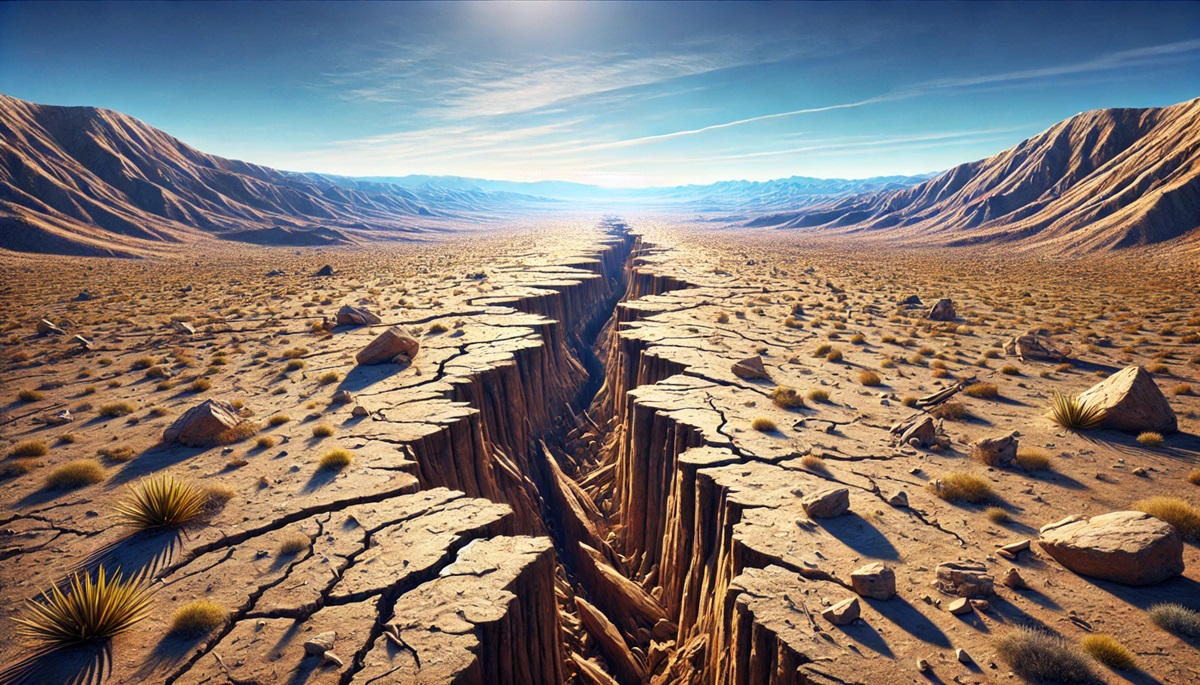
Top 10 Largest Fault Lines in the United States
Top 10 Largest Fault Lines in the United States
WhiteClouds builds 3D Raised Relief Maps
Fault lines are the invisible cracks beneath the Earth’s surface, marking boundaries where tectonic plates collide, pull apart, or slide past one another. These geologic structures have shaped the landscape over millions of years, creating towering mountain ranges, vast valleys, and seismic activity that has altered the course of history. The United States is home to some of the largest and most significant fault lines in the world, each with its own unique characteristics, geological impact, and stories. Here are the top 10 largest fault lines in the United States, ranked by their size and significance.
#1: San Andreas Fault – Length: 800 Miles
The San Andreas Fault is one of the most famous fault lines in the world and the largest in the United States. Stretching approximately 800 miles through California, it forms the boundary between the Pacific and North American tectonic plates. This transform fault has been the source of significant seismic activity, including the devastating 1906 San Francisco earthquake.
This fault is responsible for the distinct geography of California, from its valleys to its coastal ranges. The San Andreas Fault is so large that it is visible from space. Anecdotal accounts of the 1906 earthquake describe buildings toppling and fires ravaging the city. Today, the fault is closely monitored by scientists who predict that another major earthquake, the “Big One,” is inevitable.

#2: Denali Fault – Length: 740 Miles
The Denali Fault in Alaska stretches 740 miles and is one of the most prominent strike-slip faults in North America. It runs parallel to the Alaska Range and is responsible for the dramatic uplift of these towering peaks, including Denali, the tallest mountain in North America.
The Denali Fault was the source of a massive earthquake in 2002, measuring 7.9 on the Richter scale, which caused severe damage but fortunately few casualties due to its remote location. Its history is tied to the tectonic collision between the Pacific and North American plates, and it remains a focal point for geologists studying seismic hazards in Alaska.

#3: New Madrid Seismic Zone – Length: 150 Miles
The New Madrid Seismic Zone, located in the central United States, covers portions of Missouri, Arkansas, Tennessee, and Kentucky. Although not a single fault, this network spans approximately 150 miles and has been the source of some of the most powerful earthquakes in U.S. history, including the series of quakes in 1811-1812.
These quakes were so intense that they caused the Mississippi River to temporarily flow backward and created Reelfoot Lake. The New Madrid Seismic Zone remains active, and its location in a densely populated region makes it a critical focus for seismic preparedness efforts.
#4: Hayward Fault – Length: 74 Miles
Located in the San Francisco Bay Area, the Hayward Fault runs 74 miles parallel to the San Andreas Fault. It cuts through urban areas, including Oakland and Berkeley, making it one of the most dangerous fault lines in the United States.
Anecdotal stories from the 1868 earthquake, which devastated the East Bay, highlight the fault’s potential for destruction. Scientists consider it overdue for a significant event, and the fault is closely monitored to mitigate risks to the densely populated Bay Area.
#5: Cascadia Subduction Zone – Length: 620 Miles
The Cascadia Subduction Zone runs 620 miles off the Pacific Northwest coast, marking the boundary where the Juan de Fuca Plate is being forced under the North American Plate. This subduction zone is capable of producing massive megathrust earthquakes and tsunamis.
Historical accounts of an earthquake in 1700 suggest it triggered a tsunami that reached Japan. The Cascadia Subduction Zone is considered a major seismic threat, with scientists estimating a 30% chance of a significant earthquake within the next 50 years.
#6: Wasatch Fault – Length: 240 Miles
The Wasatch Fault runs 240 miles through Utah, forming the Wasatch Front and the backdrop to cities like Salt Lake City. This normal fault is responsible for the uplift of the Wasatch Range and the subsidence of the adjacent valleys.
The Wasatch Fault is considered one of the most hazardous faults in the United States due to its proximity to urban areas. Anecdotes from early settlers describe minor tremors, but the fault is overdue for a major earthquake.
#7: Imperial Fault – Length: 55 Miles
The Imperial Fault in Southern California is part of the larger San Andreas Fault system and spans 55 miles. This strike-slip fault has been the source of several significant earthquakes, including the 1979 Imperial Valley earthquake.
Located near agricultural and urban areas, the Imperial Fault is closely monitored for its potential impact on critical infrastructure. Stories of previous quakes highlight the resilience of the local communities.
#8: San Jacinto Fault – Length: 140 Miles
The San Jacinto Fault runs 140 miles through Southern California and is considered one of the most active faults in the region. It is part of the San Andreas Fault system and has been responsible for numerous moderate earthquakes.
Geologists study the San Jacinto Fault to better understand the complexities of fault interactions in Southern California. It plays a significant role in seismic activity in the region.
#9: Elsinore Fault – Length: 180 Miles
The Elsinore Fault in Southern California spans 180 miles and is another major component of the San Andreas Fault system. It runs through the Temecula Valley and has the potential to produce significant earthquakes.
Anecdotal accounts of minor quakes emphasize the fault’s activity, while scientists continue to study its role in regional tectonics. It is closely monitored for potential impacts on nearby communities.
#10: Rio Grande Rift – Length: 300 Miles
The Rio Grande Rift runs through Colorado, New Mexico, and Texas, stretching approximately 300 miles. This extensional fault zone is responsible for the Rio Grande Valley and surrounding mountain ranges.
The rift is less seismically active than other faults but has shaped the landscape over millions of years. Stories of early settlers navigating its rugged terrain highlight its importance in the region’s history.
The largest fault lines in the United States are powerful reminders of the dynamic forces shaping the Earth. From the iconic San Andreas Fault to the lesser-known Rio Grande Rift, these geological features are both awe-inspiring and potentially hazardous. Understanding these faults is crucial for appreciating the beauty and volatility of the landscapes they’ve created and for preparing for the seismic activity they may bring.
More Great Top 10’s
Fault Lines and Maps
Learn more about Maps
- Topographical Maps: Representation of the physical features of a region or area.
- Contour Maps: Representation of the contours of the land surface or ocean floor.
- Raised Relief Maps: Representation of land elevations with raised features indicating landforms.
- Terrain Maps: Representation of the physical features of a terrain or landmass.
- USGS Topographic Maps: Representation of topographic features and land elevations based on USGS data.
- USGS Historical Topographic Maps: Representation of historical topographic maps created by the USGS.
- Watershed Maps: Representation of the areas where water flows into a particular river or lake.
- Elevation Maps: Representation of land and water elevations with high precision.
- Physical Maps: Representation of physical features of the Earth’s surface such as landforms, oceans, and plateaus.
- Bathymetric Maps: Representation of the topography and features of the ocean floor.
- NOAA Maps: Representation of atmospheric, oceanographic, and environmental data by NOAA.
- Nautical Maps: Representation of the underwater features and depth of an area for navigation purposes.
- Geologic Maps: Representation of the geologic features of an area such as rock types, faults, and folds.
- Satellite Maps: Representation of earth from high-definition satellite imagery.
Contact us today to learn more about our services and how we can help you achieve your goals.


