Top 10 Largest Fjords in the World
Top 10 Largest Fjords in the World
WhiteClouds builds 3D Raised Relief Maps
Fjords are breathtaking geological wonders, where the sea carves deep into the land, surrounded by towering cliffs and dramatic landscapes. These glacially carved inlets have long fascinated travelers, scientists, and adventurers for their immense beauty and unique ecosystems. They are also steeped in cultural and historical significance, often serving as natural harbors and the backdrop for incredible human stories. Here are the top 10 largest fjords in the world, ranked by size and offering a glimpse into their natural splendor and history.
#1: Scoresby Sund, Greenland – 217 Miles Long
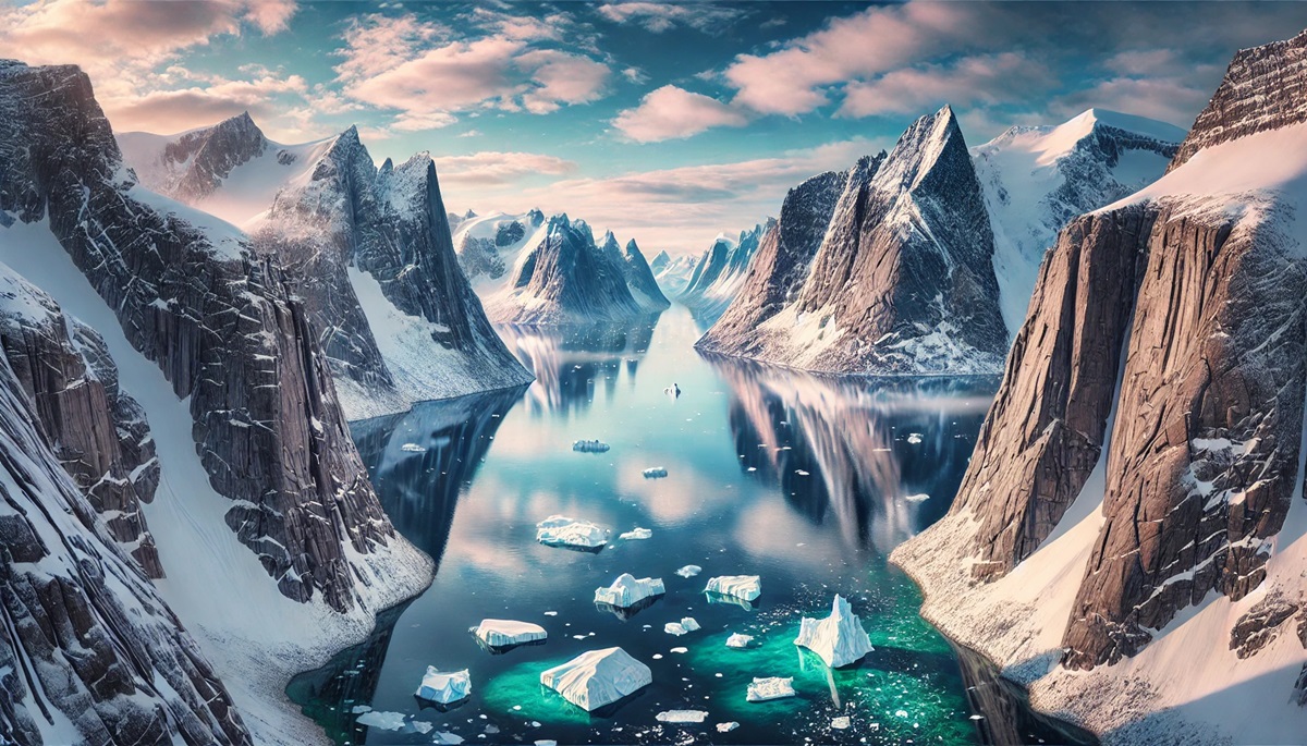
Scoresby Sund, located on Greenland’s eastern coast, is the largest fjord in the world, stretching an astonishing 217 miles. This remote Arctic fjord is a maze of interconnected inlets and towering cliffs, surrounded by pristine glaciers and icebergs.
Named after explorer William Scoresby, who mapped it in the early 19th century, the fjord offers a surreal landscape where the ice meets the sea. Its cliffs reach heights of over 6,500 feet, creating a dramatic and awe-inspiring vista. Scoresby Sund is also home to unique Arctic wildlife, including polar bears and narwhals, making it a paradise for nature enthusiasts.
#2: Sognefjord, Norway – 127 Miles Long
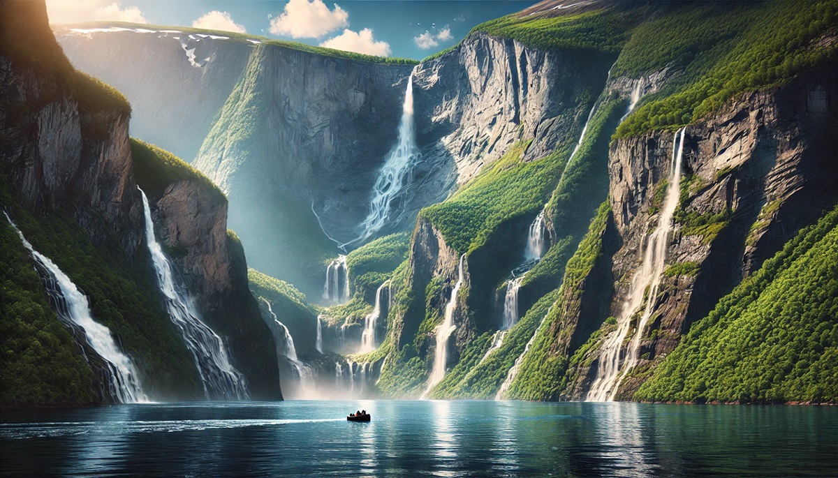
Known as the “King of Fjords,” Norway’s Sognefjord stretches 127 miles into the Scandinavian mountains, with a maximum depth of 4,300 feet. The fjord’s sheer cliffs, lush valleys, and sparkling waters make it one of the most iconic natural wonders in Europe.
Sognefjord has a rich cultural history, with ancient Viking settlements dotting its shores. Visitors can explore charming villages, hike scenic trails, and experience the beauty of Norway’s fjord landscapes. The fjord’s connection to Norse mythology and its role in the country’s history adds a layer of intrigue to its natural beauty.
#3: Hardangerfjord, Norway – 111 Miles Long
Another of Norway’s iconic fjords, Hardangerfjord stretches 111 miles and is surrounded by some of the country’s most fertile lands. Known for its fruit orchards and waterfalls, the fjord offers a stunning mix of natural beauty and cultural charm.
Hardangerfjord has been a center of Norwegian culture for centuries, with tales of ancient kings and seafarers. Its waters are teeming with life, including salmon and herring, and its shores are dotted with picturesque villages and historic sites. The nearby Folgefonna Glacier adds a touch of icy grandeur to the region.
#4: Puyuhuapi Fjord, Chile – 99 Miles Long
Puyuhuapi Fjord is part of Chile’s stunning Patagonian fjord system, stretching 99 miles along the rugged coast. Surrounded by lush temperate rainforests and snow-capped peaks, it is a hidden gem in South America.
The fjord is named after the Puyuhuapi hot springs, which attract visitors seeking relaxation amidst the dramatic scenery. The area’s rich biodiversity includes dolphins, sea lions, and countless bird species. Its isolated location and untouched beauty make it a dream destination for adventurers and nature lovers.
#5: Milford Sound, New Zealand – 9 Miles Long
Milford Sound, located in Fiordland National Park, is one of New Zealand’s most famous natural attractions. Though only 9 miles long, its towering cliffs, reaching over 4,000 feet, and its cascading waterfalls make it a breathtaking sight.
Dubbed the “Eighth Wonder of the World” by Rudyard Kipling, Milford Sound is steeped in Maori legend and history. Visitors can cruise its serene waters, spotting seals, penguins, and dolphins, while marveling at its otherworldly beauty.
#6: Dusky Sound, New Zealand – 25 Miles Long
Also located in Fiordland, Dusky Sound is one of New Zealand’s largest and most remote fjords, spanning 25 miles. It is surrounded by dense rainforests and steep mountains, creating a wild and untouched landscape.
Dusky Sound has a fascinating history, having been explored by Captain James Cook in 1773. Its isolation makes it a haven for wildlife, including rare bird species and marine life. Visitors often describe it as a place where time stands still, offering an escape into nature’s raw beauty.
#7: Geirangerfjord, Norway – 9.3 Miles Long
Geirangerfjord, a UNESCO World Heritage Site, is one of Norway’s most picturesque fjords, stretching 9.3 miles. Surrounded by snow-capped peaks and cascading waterfalls like the Seven Sisters, it is a visual masterpiece.
The fjord has inspired countless artists and storytellers, with its beauty often described as magical. Visitors can explore its waters by kayak or boat, visit traditional farmsteads clinging to the cliffs, and experience the timeless charm of Norway’s fjord culture.
#8: Tracy Arm Fjord, USA – 27 Miles Long
Located in Alaska, Tracy Arm Fjord spans 27 miles and is flanked by steep granite cliffs rising over 3,000 feet. Its waters are filled with floating icebergs, and the fjord leads to the majestic Sawyer Glaciers.
Tracy Arm is a haven for wildlife, including bald eagles, bears, and whales. Its untouched beauty and dramatic landscapes make it a favorite destination for cruise ships and adventurous travelers.
#9: Ilulissat Icefjord, Greenland – 25 Miles Long
Ilulissat Icefjord, another Greenlandic marvel, stretches 25 miles and is home to the Sermeq Kujalleq Glacier, one of the most active glaciers in the world. The fjord is a UNESCO World Heritage Site, celebrated for its dynamic icebergs and pristine Arctic environment.
The fjord’s history is deeply intertwined with Greenlandic Inuit culture. Its ever-changing ice formations create a mesmerizing and surreal landscape that draws scientists and adventurers alike.
#10: Kongsfjorden, Norway – 16 Miles Long
Located in the Svalbard archipelago, Kongsfjorden spans 16 miles and offers a unique Arctic fjord experience. Its waters are framed by rugged peaks and glaciers, creating a stark yet stunning environment.
Kongsfjorden has been a site of scientific exploration for decades, with research stations studying its unique ecosystem. Stories of early Arctic explorers add a sense of adventure to its icy beauty.
The world’s largest fjords are awe-inspiring reminders of the Earth’s glacial past, offering a blend of natural beauty, history, and cultural significance. From Greenland’s icy expanses to New Zealand’s lush cliffs, these fjords captivate the imagination and provide a window into the planet’s incredible geological processes. Exploring these majestic inlets is an invitation to witness nature at its most dramatic and serene.
More Great Top 10’s
Fjords and Maps
Learn more about Maps
- Topographical Maps: Representation of the physical features of a region or area.
- Contour Maps: Representation of the contours of the land surface or ocean floor.
- Raised Relief Maps: Representation of land elevations with raised features indicating landforms.
- Terrain Maps: Representation of the physical features of a terrain or landmass.
- USGS Topographic Maps: Representation of topographic features and land elevations based on USGS data.
- USGS Historical Topographic Maps: Representation of historical topographic maps created by the USGS.
- Watershed Maps: Representation of the areas where water flows into a particular river or lake.
- Elevation Maps: Representation of land and water elevations with high precision.
- Physical Maps: Representation of physical features of the Earth’s surface such as landforms, oceans, and plateaus.
- Bathymetric Maps: Representation of the topography and features of the ocean floor.
- NOAA Maps: Representation of atmospheric, oceanographic, and environmental data by NOAA.
- Nautical Maps: Representation of the underwater features and depth of an area for navigation purposes.
- Geologic Maps: Representation of the geologic features of an area such as rock types, faults, and folds.
- Satellite Maps: Representation of earth from high-definition satellite imagery.
Contact us today to learn more about our services and how we can help you achieve your goals.


