Top 10 Largest Flood Zones in the United States
Top 10 Largest Flood Zones in the United States
WhiteClouds builds 3D Raised Relief Maps
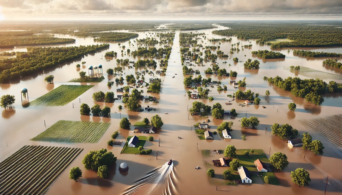
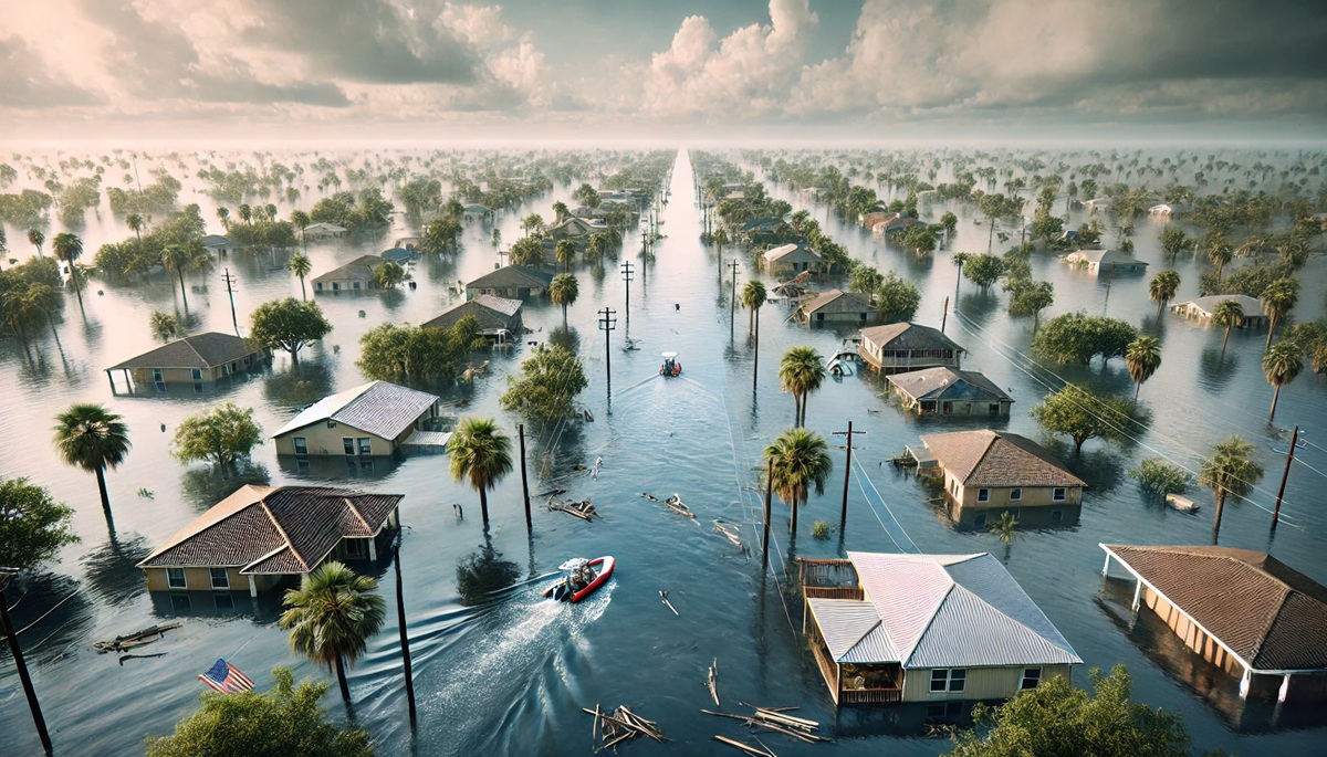
Flood zones in the United States are areas prone to flooding due to their geographic, climatic, or hydrological conditions. These zones vary in size and impact, ranging from low-lying river valleys to vast coastal regions. Flooding can occur due to hurricanes, heavy rains, snowmelt, or rising sea levels, and its consequences can be devastating to both people and ecosystems. This list explores the top 10 largest flood zones in the United States, detailing their size, significance, and the stories they hold, from historical events to ongoing challenges.
#1: Mississippi River Basin Flood Zone – 1.25 Million Square Miles
The Mississippi River Basin is the largest flood zone in the United States, covering a staggering 1.25 million square miles. Spanning 31 states and two Canadian provinces, the basin includes the Mississippi River and its vast network of tributaries, such as the Missouri, Ohio, and Arkansas Rivers. This flood zone has been shaped over millennia by seasonal rains and snowmelt that feed the river system. The Great Flood of 1927 remains one of the most devastating events in U.S. history, displacing hundreds of thousands of people and leading to significant advancements in flood control infrastructure. The Mississippi River Basin continues to play a critical role in agriculture, transportation, and biodiversity, but it faces ongoing challenges from climate change and urban development.

#2: Gulf Coast Flood Zone – 615,000 Square Miles
The Gulf Coast Flood Zone stretches across 615,000 square miles, encompassing coastal areas in Texas, Louisiana, Mississippi, Alabama, and Florida. This region is particularly vulnerable to hurricanes, storm surges, and rising sea levels. Hurricane Katrina in 2005 highlighted the catastrophic potential of flooding in this zone, with New Orleans and surrounding areas suffering unprecedented damage. The Gulf Coast is home to vital wetlands, estuaries, and industries, including oil and gas. However, the loss of natural buffers like marshes has increased flood risks. Efforts to restore these ecosystems are critical to the region’s resilience against future flooding events.

#3: Great Plains Flood Zone – 500,000 Square Miles
The Great Plains Flood Zone spans 500,000 square miles across the central United States, including states like Kansas, Nebraska, and South Dakota. This region is susceptible to flooding due to its flat terrain and extreme weather, ranging from torrential rains to snowmelt. The 2019 Midwest floods caused widespread devastation, impacting farms, infrastructure, and communities. The Great Plains is often called the “breadbasket of America,” and its agricultural importance makes managing flood risks a priority. Projects like levees and reservoirs aim to mitigate the impact of flooding, though challenges persist.
#4: California Central Valley Flood Zone – 20,000 Square Miles
The California Central Valley Flood Zone covers 20,000 square miles and includes the Sacramento and San Joaquin River systems. This area is critical to California’s agricultural economy but faces significant flood risks due to its flat, low-lying terrain. Historical floods, such as the Great Flood of 1862, transformed the valley into an inland sea, causing immense destruction. Today, dams, levees, and bypass systems help manage floodwaters, but aging infrastructure and climate change pose ongoing threats. Urbanization in flood-prone areas adds to the region’s challenges, making flood management a top priority.
#5: Appalachian Flood Zone – 15,000 Square Miles
The Appalachian Flood Zone encompasses 15,000 square miles across states like Kentucky, West Virginia, and Pennsylvania. This region is prone to flash flooding due to its steep terrain and heavy rainfall. Historical floods, such as the 1977 Johnstown Flood, underscore the catastrophic potential of these events. Coal mining and deforestation have exacerbated flooding risks by altering natural drainage systems. Community-based efforts, including reforestation and improved emergency response, are critical to reducing the impact of future floods.
#6: Red River Flood Zone – 10,000 Square Miles
The Red River Flood Zone spans 10,000 square miles along the border of North Dakota and Minnesota, extending into Canada. This area experiences frequent spring flooding due to snowmelt and the river’s northward flow, which can lead to ice jams. The 1997 Red River Flood devastated cities like Grand Forks, prompting significant investments in flood control infrastructure. The region remains a hotspot for research on flood prediction and management.
#7: Missouri River Flood Zone – 7,000 Square Miles
The Missouri River Flood Zone covers 7,000 square miles along the nation’s longest river, spanning states like Montana, Nebraska, and Missouri. Seasonal snowmelt and heavy rains contribute to flooding, often impacting agriculture and communities along the riverbanks. The 2011 Missouri River floods caused billions in damages, highlighting the need for robust floodplain management. Efforts to restore wetlands and reduce reliance on levees aim to create a more sustainable approach to flood control.
#8: Hudson River Flood Zone – 4,000 Square Miles
The Hudson River Flood Zone includes 4,000 square miles of New York State, extending from the Adirondack Mountains to New York Harbor. The region is vulnerable to flooding from heavy rains, snowmelt, and storm surges. Hurricane Sandy in 2012 demonstrated the destructive potential of coastal flooding, leading to renewed focus on climate resilience. Projects like seawalls and wetland restoration aim to mitigate future risks.
#9: Ohio River Flood Zone – 3,500 Square Miles
The Ohio River Flood Zone spans 3,500 square miles across states like Ohio, Indiana, and Kentucky. This river system has a history of severe floods, with the 1937 Ohio River Flood causing widespread devastation. Flood control measures, including dams and levees, have reduced risks, but extreme weather events remain a concern. The Ohio River Valley’s industrial and agricultural significance underscores the importance of effective flood management.
#10: Cape Fear River Flood Zone – 2,000 Square Miles
The Cape Fear River Flood Zone in North Carolina covers 2,000 square miles and is prone to flooding from hurricanes and heavy rains. Hurricane Florence in 2018 caused record-breaking floods, devastating communities and ecosystems. Efforts to improve floodplain management and restore wetlands are essential to enhancing the region’s resilience.
The largest flood zones in the United States highlight the diverse challenges and risks posed by flooding across the nation. From the sprawling Mississippi River Basin to the steep Appalachian terrain, each region tells a unique story of resilience and adaptation. Understanding these flood zones and investing in sustainable management strategies is essential to protecting communities, ecosystems, and economies from future flooding events.


