Top 10 Largest Grasslands in the World
Top 10 Largest Grasslands in the World
WhiteClouds builds 3D Raised Relief Maps
Grasslands, often called the “prairies,” “savannas,” or “steppes,” are some of the most expansive and ecologically important ecosystems on Earth. These vast open spaces are defined by their endless seas of grasses, rolling hills, and the incredible biodiversity they support. Grasslands have been vital to human civilization, serving as grazing lands, agricultural hubs, and cultural landscapes for millennia. Each grassland carries its unique history, ecological significance, and cultural heritage. Here are the top 10 largest grasslands in the world, ranked by size and steeped in fascinating details.
#1: Eurasian Steppe – Grass Heights: Up to 4 Feet
The Eurasian Steppe is the largest grassland in the world, stretching over 5,000 miles from Hungary to Mongolia. Covering vast swathes of Russia, Ukraine, and Central Asia, this grassland is characterized by its gently rolling plains, sparse trees, and resilient grasses that thrive in extreme climates. The steppe’s grasses can grow up to 4 feet tall, particularly during the summer.
Historically, the Eurasian Steppe was a vital corridor for migration and trade, most famously as part of the Silk Road. It was home to nomadic tribes like the Scythians and the Mongols, whose horseback warriors dominated these plains for centuries. Stories of Genghis Khan’s conquests echo across the steppe, a confirmation to its significance as a theater of history. Today, it supports traditional herding lifestyles alongside modern agriculture, but overgrazing and climate change threaten its delicate balance.
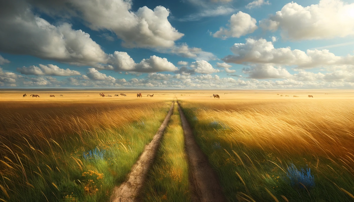
#2: Great Plains – Grass Heights: Up to 6 Feet
The Great Plains of North America span approximately 1.3 million square miles, covering parts of the United States and Canada. Known for its iconic tallgrass and shortgrass prairies, the Great Plains features grasses that can reach heights of up to 6 feet, particularly in the wetter eastern regions.
The region’s history is deeply intertwined with the bison herds that once roamed in the millions, sustaining Native American tribes for centuries. Stories of early settlers battling harsh winters and tornadoes highlight the resilience required to thrive here. Today, the Great Plains are a breadbasket of the world, dominated by wheat and cornfields, yet ongoing conservation efforts aim to preserve remnants of its native prairie.
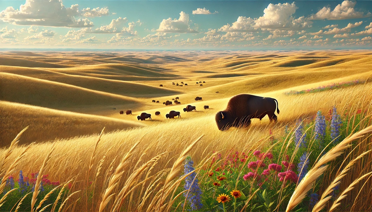
#3: Pampas – Grass Heights: Up to 5 Feet
The Pampas of South America stretch across Argentina, Uruguay, and Brazil, covering approximately 289,000 square miles. These fertile plains are dominated by tall grasses that can reach 5 feet, swaying gracefully under strong winds.
The Pampas are synonymous with the culture of the gauchos, South American cowboys who have herded cattle here for centuries. Anecdotal stories of their bravery and horsemanship are woven into the fabric of Argentine history. Today, the Pampas are an agricultural powerhouse, known for producing some of the world’s finest beef.
#4: Kazakh Steppe – Grass Heights: Up to 3 Feet
The Kazakh Steppe, a part of the larger Eurasian Steppe, spans 310,000 square miles, making it the fourth-largest grassland. Located in Kazakhstan, it is characterized by its semi-arid climate and hardy grasses that rarely exceed 3 feet.
The steppe was historically a key part of the Silk Road, and it remains an essential grazing land for Kazakh nomads who continue to practice traditional herding. Stories of their yurts dotting the steppe under vast, open skies evoke the romanticism of life on these plains.
#5: Australian Outback – Grass Heights: Up to 2 Feet
While commonly associated with desert, parts of the Australian Outback consist of vast grasslands, covering an area of approximately 2.4 million square miles. The grasses here are short, rarely exceeding 2 feet, adapted to the arid climate.
The Outback is deeply tied to Aboriginal history, with stories of Dreamtime creation passed down for thousands of years. Despite its harsh conditions, the grasslands support unique wildlife, including kangaroos and emus, and serve as grazing grounds for livestock.
#6: Sahel – Grass Heights: Up to 2 Feet
The Sahel is a transitional grassland spanning 3,300 miles across Africa, bordering the Sahara Desert to the north. Covering roughly 1.9 million square miles, it is defined by its short, drought-resistant grasses and sparse vegetation.
The Sahel has a rich history of trade, connecting Sub-Saharan Africa to the Mediterranean through caravan routes. Anecdotal tales of salt and gold trade caravans crossing this arid land highlight its historical importance. However, desertification poses a significant threat to this fragile ecosystem.
#7: Velvet Grasslands – Grass Heights: Up to 4 Feet
Located in central and southern Africa, the Velvet Grasslands stretch across 270,000 square miles. These grasslands are named for their soft, lush appearance during the rainy season, when grasses can reach up to 4 feet.
Stories from local tribes celebrate the abundant wildlife here, including lions, elephants, and antelope. The grasslands are part of many African safari destinations, offering unparalleled biodiversity and scenic beauty.
#8: Tibetan Plateau Grasslands – Grass Heights: Up to 3 Feet
The Tibetan Plateau Grasslands, spanning 965,000 square miles, are the highest grasslands in the world, located at elevations averaging 14,800 feet above sea level. The grasses here are hardy, adapted to cold and windy conditions, rarely exceeding 3 feet.
Known as the “Roof of the World,” this grassland has been a crossroads of cultures, with Tibetan nomads grazing their yaks across its vast expanse. Stories of spiritual pilgrimages and encounters with wildlife like snow leopards add to its mystique.
#9: Llano Estacado – Grass Heights: Up to 3 Feet
The Llano Estacado, or “Staked Plains,” is a semi-arid grassland covering parts of Texas and New Mexico, spanning roughly 37,000 square miles. The grass rarely exceeds 3 feet, thriving in the dry climate.
Early explorers described this grassland as seemingly endless, with no trees to break the horizon. Today, it supports cattle grazing and remains a symbol of the rugged beauty of the American Southwest.
#10: Central Asian Grasslands – Grass Heights: Up to 4 Feet
The Central Asian Grasslands stretch across Turkmenistan, Uzbekistan, and surrounding regions, covering about 350,000 square miles. These grassy plains are home to unique wildlife like saiga antelopes and wild horses.
Historically, the grasslands served as a vital corridor for ancient civilizations and nomadic empires. Anecdotes of Silk Road caravans and nomads traversing these plains enrich their historical significance. Conservation efforts are underway to protect this unique biome from overgrazing and development.
Grasslands are among the most expansive and diverse ecosystems on Earth, supporting human civilizations, wildlife, and agricultural practices for millennia. From the vastness of the Eurasian Steppe to the cultural richness of the Pampas, each grassland tells a unique story of survival, adaptation, and ecological balance. Protecting these vital landscapes is essential to preserve their beauty, biodiversity, and contributions to human and environmental well-being.
More Great Top 10’s
Grasslands and Maps
Learn more about Maps
- Topographical Maps: Representation of the physical features of a region or area.
- Contour Maps: Representation of the contours of the land surface or ocean floor.
- Raised Relief Maps: Representation of land elevations with raised features indicating landforms.
- Terrain Maps: Representation of the physical features of a terrain or landmass.
- USGS Topographic Maps: Representation of topographic features and land elevations based on USGS data.
- USGS Historical Topographic Maps: Representation of historical topographic maps created by the USGS.
- Watershed Maps: Representation of the areas where water flows into a particular river or lake.
- Elevation Maps: Representation of land and water elevations with high precision.
- Physical Maps: Representation of physical features of the Earth’s surface such as landforms, oceans, and plateaus.
- Bathymetric Maps: Representation of the topography and features of the ocean floor.
- NOAA Maps: Representation of atmospheric, oceanographic, and environmental data by NOAA.
- Nautical Maps: Representation of the underwater features and depth of an area for navigation purposes.
- Geologic Maps: Representation of the geologic features of an area such as rock types, faults, and folds.
- Satellite Maps: Representation of earth from high-definition satellite imagery.
Contact us today to learn more about our services and how we can help you achieve your goals.


