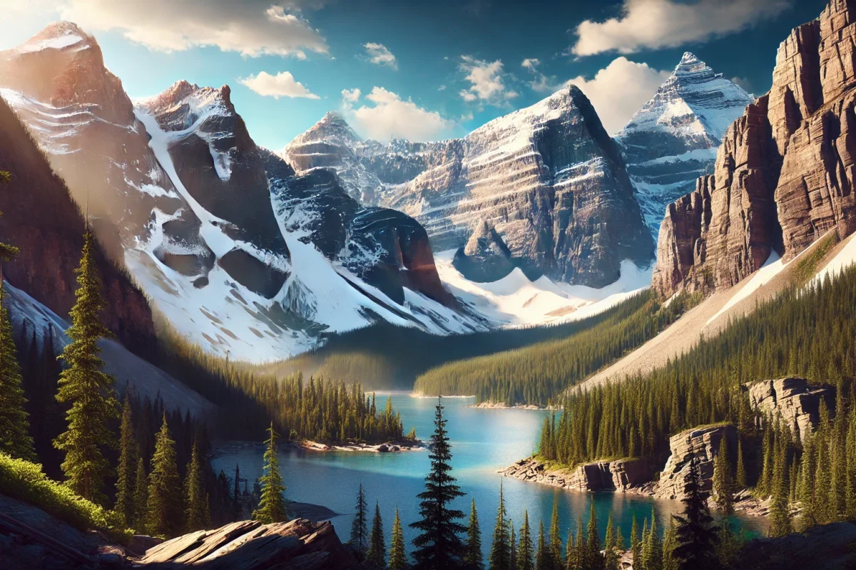
Top 10 Largest Hills in the United States
Top 10 Largest Hills in the United States
WhiteClouds builds 3D Raised Relief Maps
When we think of towering geological features in the United States, mountains often come to mind. But nestled among the plains, valleys, and rolling countryside are majestic hills that rival some smaller mountains in height and grandeur. These hills, though not classified as mountains, boast fascinating histories, scenic vistas, and unique geological features. From ancient formations shaped by time and erosion to sacred grounds for Native American tribes, these hills capture the imagination and offer outdoor enthusiasts, historians, and nature lovers countless reasons to explore. Here’s a look at the top ten largest hills in the United States, ranked by height.
#1: Black Hills – 7,244 Feet
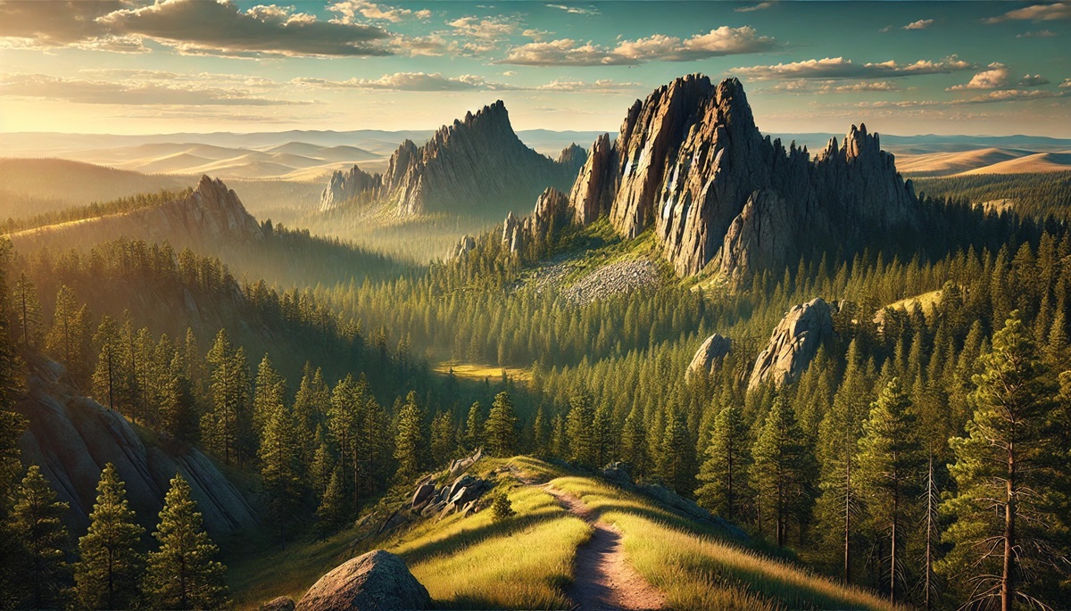
The Black Hills of South Dakota, crowned by Black Elk Peak (formerly Harney Peak) at 7,244 feet, are a breathtaking example of rugged natural beauty. Known as Paha Sapa by the Lakota Sioux, the hills hold deep cultural and spiritual significance for Native Americans. They form an isolated mountain range rising abruptly from the plains, offering a dramatic contrast to the surrounding landscape. The Black Hills are composed of ancient granite and metamorphic rock that dates back over 2 billion years.
Rich in history, the Black Hills were the center of the Great Sioux War in the 1870s, sparked by the discovery of gold. The region is now home to Mount Rushmore and the Crazy Horse Memorial, monumental tributes to American history. Legends of gold mines and hidden treasure persist, captivating treasure hunters and storytellers alike. Visitors can explore Custer State Park, hike scenic trails, and even encounter herds of roaming bison. The Black Hills remain a symbol of resilience and beauty in the face of time and human impact.
#2: Guadalupe Peak (Salt Flat Hills) – 8,751 Feet
Guadalupe Peak, part of the Salt Flat Hills in Texas, stands as the highest natural point in the Lone Star State at 8,751 feet. Known as the “Top of Texas,” this hill is part of the Guadalupe Mountains, an ancient reef system that once thrived beneath a prehistoric sea. The peak offers hikers stunning views of desert vistas, canyons, and rugged wilderness.
The trail to the summit is a favorite for adventurers seeking a challenging climb, and a stainless-steel pyramid monument marks the top. Anecdotes of early explorers braving the harsh desert conditions add to the area’s allure. Once part of a vast cattle-ranching empire, the region now showcases diverse flora and fauna, including mule deer, mountain lions, and yucca plants. The combination of history, geology, and unparalleled views makes Guadalupe Peak an unforgettable destination.

#3: Mount Sunflower – 4,039 Feet
Mount Sunflower, at 4,039 feet, is Kansas’s highest point and one of the most understated entries on this list. Located on a private cattle ranch near the Colorado border, this hill is a gentle rise rather than a dramatic peak, reflecting the rolling prairies of the region. Its modest height belies its importance as a geological marker, and visitors often find themselves captivated by its wide-open skies and peaceful setting.
The site is marked by a quirky wooden sunflower sculpture and a bench for reflection. Locals and travelers share tales of unexpected serenity and breathtaking sunsets over the plains. Mount Sunflower serves as a reminder that beauty and grandeur aren’t always measured by height but by the perspective they offer.
#4: Panorama Point – 5,429 Feet
Panorama Point, the highest natural elevation in Nebraska at 5,429 feet, offers sweeping views of the High Plains and distant Rocky Mountains. Located in Kimball County, this hill is an unexpected oasis of tranquility in the Cornhusker State. The area is part of the sprawling High Plains, shaped by millions of years of wind and water erosion.
Known for its wildlife, including pronghorn antelope and bison herds, Panorama Point offers an experience that is both pastoral and rugged. Travelers enjoy stories of pioneer crossings and historic ranching operations. The spot is marked by a small monument, and its panoramic vistas have made it a favorite for photographers and stargazers.
#5: Hoosier Hill – 1,257 Feet
Hoosier Hill, located in Wayne County, Indiana, is the state’s highest point at 1,257 feet. Unlike towering peaks, this hill is a gentle rise surrounded by farmland and forest. Its location is easy to access, and a marker commemorates the site, making it a popular destination for “highpointers”—adventurers aiming to reach the highest point in every state.
The hill is steeped in local charm, with stories of family picnics and school trips to the summit. Hoosier Hill represents the unassuming beauty of the Midwest and the pride locals take in their state’s geographical high point. Visitors often describe it as a place to reconnect with nature and history.
#6: Britton Hill – 345 Feet
At 345 feet, Britton Hill in Florida is the lowest high point of any U.S. state but remains a noteworthy landmark. Located in the Panhandle near the Alabama border, the hill is part of Lakewood Park, a serene area of pine forests and gently rolling terrain. Britton Hill offers visitors a surprising sense of elevation for a state known for its flat landscapes.
The area is steeped in Southern hospitality, with anecdotes of travelers meeting locals who share stories about the region’s history and ecology. Visitors often combine their trip to Britton Hill with a visit to nearby state parks, enjoying the Gulf Coast’s natural beauty.
#7: Eagle Mountain – 2,301 Feet
Eagle Mountain, Minnesota’s highest point at 2,301 feet, rises above the Boundary Waters Canoe Area Wilderness. The hike to the summit, though moderate, is an adventure through dense forests, rocky outcrops, and serene lakes. The peak offers unparalleled views of the surrounding wilderness, which is a haven for outdoor enthusiasts.
This hill is tied to Minnesota’s rich logging history and Native American heritage. Visitors often recount tales of wildlife encounters, from loons calling across the lakes to black bears foraging in the woods. Eagle Mountain is a testament to the rugged beauty of the Northwoods and the state’s outdoor spirit.
#8: Spruce Knob – 4,863 Feet
West Virginia’s highest point, Spruce Knob, reaches 4,863 feet and is part of the Allegheny Mountains. The summit, topped with a forest of red spruce, offers dramatic views of rolling hills and valleys. A short hike or drive leads to an observation tower, making it a favorite destination for nature lovers.
Spruce Knob’s history is intertwined with the logging industry and Appalachian culture. Visitors often share stories of stargazing under some of the darkest skies in the eastern U.S. The Knob is a beloved symbol of West Virginia’s wild and wonderful charm.
#9: Mount Arvon – 1,979 Feet
Mount Arvon, Michigan’s highest point at 1,979 feet, is located in the Huron Mountains near Lake Superior. The hill offers a tranquil escape into dense forests, with scenic trails leading to the summit. Visitors are treated to views of the lake, making it a favorite for photographers and adventurers.
The hill’s history includes tales of the Ojibwa people and the logging industry. Anecdotes of hikers finding solace in nature abound, and Mount Arvon remains a cherished part of Michigan’s Upper Peninsula.
#10: Magazine Mountain – 2,753 Feet
Magazine Mountain, Arkansas’s highest point at 2,753 feet, is part of the Ouachita Mountains and offers a unique mix of rugged beauty and biodiversity. The mountain is named for its distinctive flat-topped shape, which resembles a magazine or tabletop. The peak is accessible via scenic drives and trails.
The hill has a rich history, from Native American heritage to its role in Civil War history. Visitors share stories of camping, rock climbing, and birdwatching. Magazine Mountain is a testament to the natural beauty and historical significance of the Arkansas landscape.
From the towering heights of the Black Hills to the serene charm of Britton Hill, the largest hills in the United States showcase the diverse beauty and rich histories of the nation’s landscapes. Each hill tells a story of geological wonder, cultural significance, and human connection. Whether you’re a seasoned hiker, a history buff, or a curious traveler, these hills offer a chance to explore the extraordinary in the seemingly ordinary, proving that nature’s grandeur is not always measured in altitude alone.
More Great Top 10’s
Hills and Maps
Hills are nature’s gentle giants, rising from the Earth with a quiet majesty that bridges the gap between flat plains and soaring mountains. They roll and undulate like the rhythm of a song, creating landscapes that evoke a sense of wonder and exploration. From grassy knolls that cradle sunsets to rocky inclines shrouded in mist, hills are the storytellers of the land, bearing witness to eons of geological shifts, glacial retreats, and the soft yet persistent touch of wind and rain. They offer a haven for flora and fauna, a playground for adventurers, and a canvas for cartographers. Maps of hills transform these living sculptures into a language of lines and contours, guiding our curiosity and connecting us to their stories. Each contour on a topographical map whispers of an incline to conquer, a vista to marvel at, or a hidden path to follow. Historical maps reveal how hills have shaped civilizations, serving as natural fortresses, spiritual sites, or the backdrop to human triumphs and tragedies. Modern mapping techniques bring these elevations to life in vibrant 3D, offering a tactile sense of their height, breadth, and intricate terrain. Hills and maps together weave an enchanting narrative, encouraging us to look beyond the horizon and imagine the journeys yet to come.
Learn more about Maps
- Topographical Maps: Representation of the physical features of a region or area.
- Contour Maps: Representation of the contours of the land surface or ocean floor.
- Raised Relief Maps: Representation of land elevations with raised features indicating landforms.
- Terrain Maps: Representation of the physical features of a terrain or landmass.
- USGS Topographic Maps: Representation of topographic features and land elevations based on USGS data.
- USGS Historical Topographic Maps: Representation of historical topographic maps created by the USGS.
- Watershed Maps: Representation of the areas where water flows into a particular river or lake.
- Elevation Maps: Representation of land and water elevations with high precision.
- Physical Maps: Representation of physical features of the Earth’s surface such as landforms, oceans, and plateaus.
- Bathymetric Maps: Representation of the topography and features of the ocean floor.
- NOAA Maps: Representation of atmospheric, oceanographic, and environmental data by NOAA.
- Nautical Maps: Representation of the underwater features and depth of an area for navigation purposes.
- Geologic Maps: Representation of the geologic features of an area such as rock types, faults, and folds.
- Satellite Maps: Representation of earth from high-definition satellite imagery.
Contact us today to learn more about our services and how we can help you achieve your goals.


