Top 10 Largest Islands in the World
Top 10 Largest Islands in the World
WhiteClouds builds 3D Raised Relief Maps
Islands are some of the most fascinating geographical features on Earth, each offering a unique blend of natural beauty, cultural diversity, and intriguing history. The largest islands in the world, formed by tectonic activity, volcanic eruptions, or glacial movements, hold diverse ecosystems and stories that span centuries. These islands, whether located in tropical waters or icy polar regions, are monumental in size and rich in history. Here is a list of the top 10 largest islands in the world, exploring their vast dimensions, fascinating facts, and the unique cultures and landscapes they host.
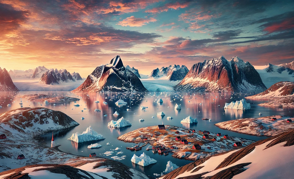
#1: Greenland (836,330 square miles)
Greenland, the world’s largest island, spans an incredible 836,330 square miles and is located between the Arctic and Atlantic Oceans. Though geographically part of North America, it is politically an autonomous territory of Denmark. The island is known for its massive ice sheet, which covers about 80% of its surface, making it a vital indicator of climate change. Beneath its icy exterior lies a rugged, mountainous landscape with stunning fjords and deep blue glaciers.
Greenland’s history is marked by the Norse explorations led by Erik the Red, who established settlements there over a thousand years ago. It is also home to the Inuit people, who have adapted to its harsh environment for centuries. In recent years, melting ice has revealed hidden archaeological treasures and sparked debates over mineral rights and global warming. Greenland is as enigmatic as it is vast, offering visitors surreal landscapes and unparalleled natural beauty.
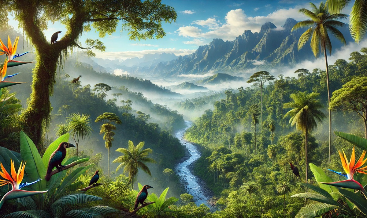
#2: New Guinea (317,150 square miles)
New Guinea, located in the Pacific Ocean north of Australia, is the second-largest island in the world, covering 317,150 square miles. The island is politically divided into two regions: Papua New Guinea to the east and the Indonesian provinces of Papua and West Papua to the west. It is renowned for its extraordinary biodiversity, hosting species like the tree kangaroo and birds of paradise.
Culturally, New Guinea is home to hundreds of indigenous tribes, each with distinct languages and traditions. Its mountainous terrain and dense rainforests have kept much of the island unexplored, earning it the nickname “the last unknown.” Stories of tribal encounters and discoveries in its uncharted regions continue to captivate the world, making New Guinea a land of mystery and wonder.
#3: Borneo (287,000 square miles)
Borneo, the third-largest island in the world, spans 287,000 square miles and is politically divided among three countries: Indonesia, Malaysia, and Brunei. Known for its lush rainforests, Borneo is a hotspot for biodiversity and is home to endangered species like the orangutan and pygmy elephant. The island’s diverse ecosystems include mangroves, peat swamps, and montane forests.
Borneo’s history is steeped in trade, with ancient ports connecting it to China, India, and the Arab world. It has also been the focus of modern conservation efforts to combat deforestation and protect its unique wildlife. Visitors are drawn to its iconic Mount Kinabalu and the mysterious caves of Sarawak, where ancient human remains and paintings have been discovered.
#4: Madagascar (226,657 square miles)
Madagascar, situated off the southeastern coast of Africa, is the fourth-largest island in the world at 226,657 square miles. Known as the “eighth continent,” it boasts an incredible array of endemic species, including lemurs, baobab trees, and chameleons. The island’s isolated evolution has created a unique biosphere unlike any other on Earth.
Madagascar’s history is shaped by its diverse cultural influences, from African and Arab traders to French colonizers. The island’s folklore is rich with tales of pirates, including legends of hidden treasure along its coastlines. Today, Madagascar’s vibrant landscapes and rare wildlife make it a destination for eco-tourists and researchers alike.
#5: Baffin Island (195,928 square miles)
Baffin Island, part of the Canadian Arctic Archipelago, is the fifth-largest island, covering 195,928 square miles. Its dramatic landscapes include towering mountains, expansive fjords, and frozen tundra. The island is sparsely populated, with most of its residents being Inuit communities who maintain traditional lifestyles.
Baffin Island has a deep history of exploration, including its role as a base for Norse explorers and later European expeditions seeking the Northwest Passage. Today, it is a hub for Arctic adventure tourism, offering activities like dog sledding and polar bear watching, as well as a glimpse into Inuit culture.
#6: Sumatra (183,820 square miles)
Sumatra, Indonesia’s largest island, spans 183,820 square miles. Known for its active volcanoes, dense rainforests, and diverse wildlife, it is home to critically endangered species such as the Sumatran tiger and rhinoceros. The island’s natural wonders include Lake Toba, the world’s largest volcanic lake.
Sumatra has a rich history as a major trading center, attracting traders from India, China, and the Arab world. Its ancient kingdoms contributed significantly to the spread of Buddhism and Hinduism in Southeast Asia. The island’s cultural heritage and breathtaking landscapes make it a fascinating destination.
#7: Honshu (87,182 square miles)
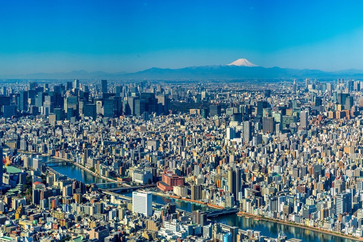
Honshu, the largest island of Japan, covers 87,182 square miles and is home to major cities like Tokyo, Kyoto, and Osaka. Its diverse geography ranges from snow-capped mountains, including Mount Fuji, to vibrant coastal plains.
Honshu’s history is deeply intertwined with Japan’s cultural and political development, hosting historical landmarks like Hiroshima, Nara, and the ancient capital of Kyoto. It is the economic and cultural heart of Japan, blending centuries-old traditions with cutting-edge innovation.
#8: Victoria Island (83,897 square miles)
Victoria Island, located in Canada’s Arctic Archipelago, spans 83,897 square miles. Known for its remote wilderness and icy landscapes, it features intricate coastlines with countless inlets and fjords. The island is sparsely inhabited, with a few Inuit communities.
Victoria Island’s significance lies in its role in Arctic exploration, including the search for the Northwest Passage. Its extreme environment attracts adventurers seeking solitude and the untouched beauty of the Arctic.
#9: Great Britain (80,823 square miles)
Great Britain, the ninth-largest island in the world, covers 80,823 square miles and is home to the United Kingdom. Its landscapes range from the Scottish Highlands to the rolling hills of England and the rugged coastlines of Wales.
Great Britain’s history is one of conquest, innovation, and cultural influence, shaping much of the modern world. Landmarks like Stonehenge, Windsor Castle, and the Tower of London tell tales of ancient and medieval times, while bustling cities like London and Edinburgh offer a blend of tradition and modernity.
#10: Ellesmere Island (75,767 square miles)
Ellesmere Island, part of Canada’s Arctic Archipelago, spans 75,767 square miles. Its rugged terrain includes glaciers, fjords, and mountains, creating a striking Arctic landscape.
The island has a history of exploration, serving as a base for expeditions to the North Pole. Its remoteness and extreme climate make it a haven for Arctic wildlife and a destination for scientists studying climate change and geology.
These immense islands are more than just geographical marvels—they are cultural treasure troves, biodiversity hotspots, and testaments to the planet’s geological history. Each island offers a unique window into the interaction between land, people, and nature, reminding us of the diversity and beauty of our world. From the icy expanse of Greenland to the tropical rainforests of New Guinea, these islands inspire wonder and exploration.
More Great Top 10’s
Islands and Maps
Islands and maps form a perfect union, weaving together stories of isolation and exploration, discovery and survival. An island, surrounded by the boundless ocean, is a world unto itself—a microcosm of ecosystems, cultures, and mysteries waiting to be uncovered. Maps bring these isolated worlds to life, transforming their rugged coastlines, hidden coves, and lush interiors into lines, contours, and symbols that inspire adventure and understanding. They chart the ebb and flow of tides, the rise of volcanic peaks, and the dense canopies of tropical jungles, capturing the essence of each island’s unique geography. From the sun-soaked atolls of the Pacific to the icy outposts of the Arctic, maps serve as guides for sailors, scientists, and dreamers alike, navigating not just physical distances but the imagination itself. They tell stories of ancient explorers tracing routes across uncharted waters, of trade winds and pirate hideouts, and of civilizations that flourished in splendid isolation. A map of an island is more than a tool; it’s an invitation to explore a place where nature and culture collide in fascinating ways. It reveals the interplay of land and sea, the lifelines of rivers, the secrets of hidden lagoons, and the histories of people who call these unique places home. Whether it’s a crinkled treasure map or a modern digital chart, each map captures the spirit of islands—self-contained worlds brimming with possibilities, waiting to be discovered and celebrated.
Learn more about Maps
- Topographical Maps: Representation of the physical features of a region or area.
- Contour Maps: Representation of the contours of the land surface or ocean floor.
- Raised Relief Maps: Representation of land elevations with raised features indicating landforms.
- Terrain Maps: Representation of the physical features of a terrain or landmass.
- USGS Topographic Maps: Representation of topographic features and land elevations based on USGS data.
- USGS Historical Topographic Maps: Representation of historical topographic maps created by the USGS.
- Watershed Maps: Representation of the areas where water flows into a particular river or lake.
- Elevation Maps: Representation of land and water elevations with high precision.
- Physical Maps: Representation of physical features of the Earth’s surface such as landforms, oceans, and plateaus.
- Bathymetric Maps: Representation of the topography and features of the ocean floor.
- NOAA Maps: Representation of atmospheric, oceanographic, and environmental data by NOAA.
- Nautical Maps: Representation of the underwater features and depth of an area for navigation purposes.
- Geologic Maps: Representation of the geologic features of an area such as rock types, faults, and folds.
- Satellite Maps: Representation of earth from high-definition satellite imagery.
Contact us today to learn more about our services and how we can help you achieve your goals.

