Top 10 Largest Lakes in the World
Top 10 Largest Lakes in the World
WhiteClouds builds 3D Raised Relief Maps
Lakes are among Earth’s most fascinating natural wonders, offering breathtaking landscapes, ecological richness, and profound cultural significance. They serve as vital water resources, habitats for countless species, and sites of human exploration and settlement. The largest lakes in the world, stretching across continents, hold stories of ancient origins, unique ecosystems, and remarkable human interactions. Below is a list of the top 10 largest lakes in the world, each with its own unique beauty, history, and significance.
#1: Caspian Sea – 143,000 square miles
The Caspian Sea, often called the largest enclosed inland body of water, straddles Europe and Asia. Covering 143,000 square miles, it is bordered by five countries: Russia, Kazakhstan, Turkmenistan, Iran, and Azerbaijan. Despite being referred to as a sea, it is technically a lake due to its landlocked status. The Caspian’s waters are a mix of saltwater and freshwater, fed primarily by the Volga River.
The lake’s history is rich, dating back to ancient civilizations that thrived along its shores. Today, it is a hub for fishing, oil exploration, and trade. One of its most interesting features is the Caspian Seal, the only seal species found in the lake. Legends of mysterious creatures in its depths add to its intrigue, while its vast resources make it both a geopolitical hotspot and an ecological wonder.
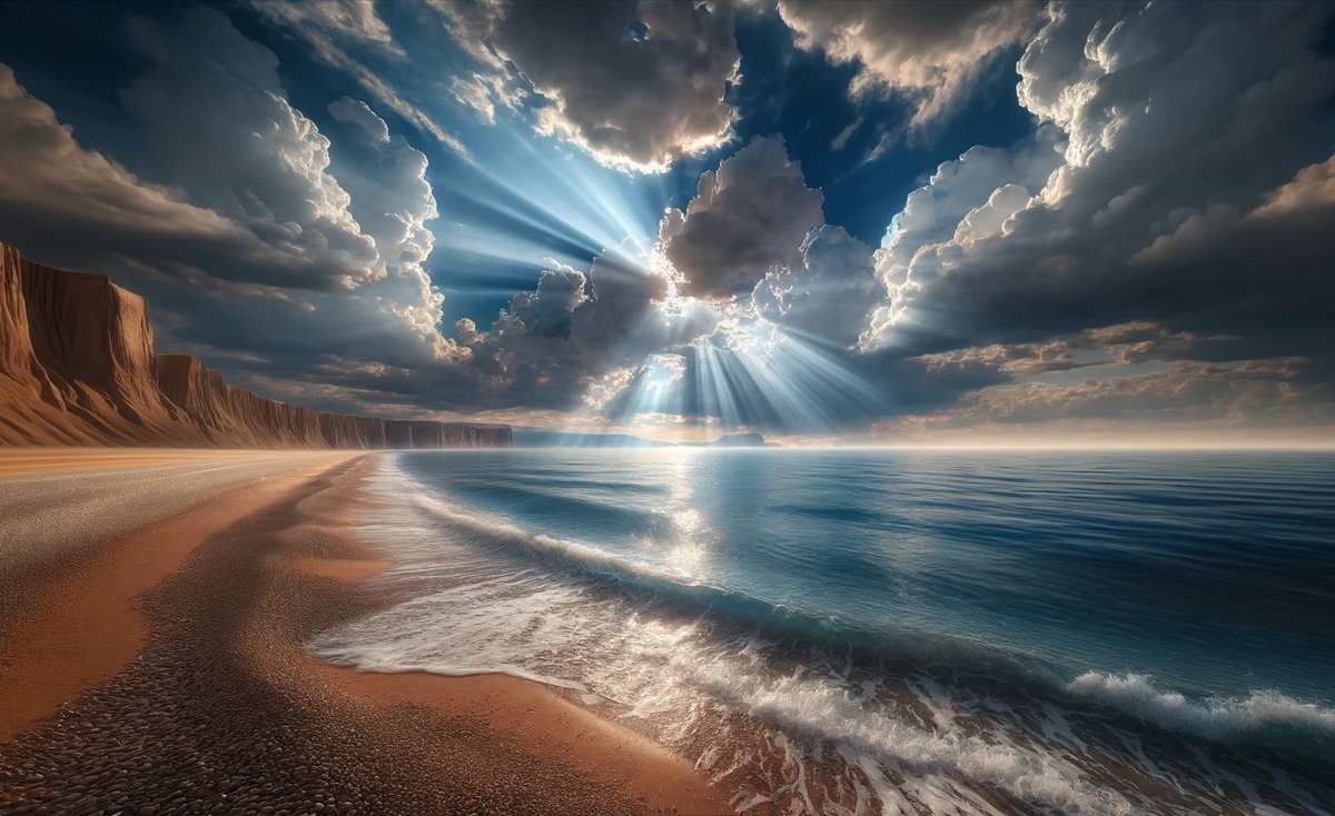
#2: Lake Superior – 31,700 square miles
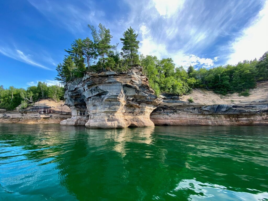
Lake Superior, the largest of North America’s Great Lakes, spans 31,700 square miles and boasts the largest surface area of any freshwater lake in the world. It is bordered by the United States and Canada and is renowned for its pristine waters and rugged shorelines. Superior is so vast that it contains 10% of the world’s fresh surface water.
The lake’s name reflects its grandeur, and its history includes the exploration routes of Indigenous peoples and European fur traders. The treacherous waters have claimed many ships, the most famous being the SS Edmund Fitzgerald. Superior’s scenic beauty and historical significance make it a beloved destination for adventurers and historians alike.

#3: Lake Victoria – 26,600 square miles
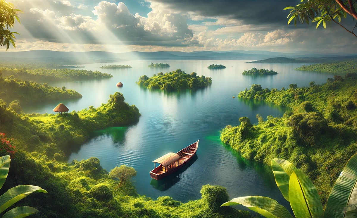
Lake Victoria, Africa’s largest lake, covers 26,600 square miles and is shared by Tanzania, Uganda, and Kenya. Named after Queen Victoria, it is a vital water source for millions of people and supports a thriving fishing industry. The lake’s ecosystem is home to unique species, including the iconic Nile perch and cichlids.
The lake’s history includes its role as a major transportation route during colonial times. However, environmental challenges such as pollution and invasive species threaten its health. Despite these issues, Lake Victoria remains a cultural and ecological treasure for the region.
#4: Lake Huron – 23,000 square miles
Lake Huron, another of North America’s Great Lakes, spans 23,000 square miles, making it the second-largest of the group. It is known for its stunning shorelines and the unique Manitoulin Island, the world’s largest freshwater island. Huron is steeped in maritime history, with numerous shipwrecks resting in its depths.
The lake has long been significant to Indigenous cultures, and its name derives from the Huron-Wendat people. Today, it is a popular destination for boating, fishing, and exploring its scenic bays and coves.
#5: Lake Michigan – 22,400 square miles
Lake Michigan, the only Great Lake entirely within the United States, covers 22,400 square miles. Its sandy dunes and bustling cities like Chicago make it one of the most diverse lakes in terms of scenery and culture. Michigan’s shores are dotted with picturesque lighthouses, historic towns, and recreational beaches.
The lake’s history is deeply intertwined with the development of the Midwest, serving as a vital transportation and trade route. Its crystal-clear waters attract millions of visitors each year, cementing its status as a Great Lakes gem.
#6: Lake Tanganyika – 12,600 square miles
Lake Tanganyika, located in East Africa, is one of the world’s deepest and oldest lakes. Covering 12,600 square miles, it stretches across Tanzania, the Democratic Republic of Congo, Burundi, and Zambia. Its depth allows it to hold an incredible volume of water, second only to Lake Baikal.
Tanganyika is home to diverse aquatic species, many of which are found nowhere else on Earth. Its history includes tales of European explorers like Richard Burton and John Speke, who sought the source of the Nile. The lake’s cultural and ecological significance continues to draw attention worldwide.
#7: Lake Baikal – 12,200 square miles
Lake Baikal, located in Siberia, Russia, is the world’s deepest and oldest freshwater lake. Covering 12,200 square miles, it holds more water than all of North America’s Great Lakes combined. Baikal is known for its crystal-clear waters and endemic species, including the Baikal seal.
The lake has a mystical allure, with local legends and historical significance as a sacred site for Indigenous Siberian peoples. Its biodiversity and geological uniqueness make it a UNESCO World Heritage Site and a vital natural wonder.
#8: Great Bear Lake – 12,000 square miles
Great Bear Lake, located in Canada’s Northwest Territories, is the largest lake entirely within Canada, covering 12,000 square miles. It lies in the Arctic Circle, offering pristine waters and unspoiled wilderness.
The lake’s name reflects its importance to Indigenous peoples, who have lived in the region for centuries. Its remote location and harsh climate make it a haven for adventurers seeking solitude and a connection to nature.
#9: Lake Malawi – 11,400 square miles
Lake Malawi, located in East Africa, is a tropical paradise spanning 11,400 square miles. Known as the “Lake of Stars” for its sparkling waters, it is home to the highest number of fish species of any lake in the world.
The lake’s vibrant ecosystem and crystal-clear waters attract tourists and researchers alike. Its cultural significance is profound, serving as a vital resource and spiritual site for local communities.
#10: Great Slave Lake – 10,500 square miles
Great Slave Lake, located in Canada’s Northwest Territories, is the deepest lake in North America. Covering 10,500 square miles, it offers dramatic landscapes, from icy winters to sunlit summer shores.
The lake’s name honors the Indigenous Slavey people, who have lived in the area for generations. Its waters are a lifeline for fishing and transportation, and its remote beauty makes it a gem of the Canadian wilderness.
The largest lakes in the world are more than just vast bodies of water; they are ecosystems, cultural landmarks, and historical treasures. From the icy depths of Lake Baikal to the tropical shores of Lake Malawi, these lakes remind us of the beauty and complexity of our planet’s natural landscapes. Each one holds a story of connection between people and nature, offering endless opportunities for exploration and discovery.
More Great Top 10’s
Lakes and Maps
Learn more about Maps
- Topographical Maps: Representation of the physical features of a region or area.
- Contour Maps: Representation of the contours of the land surface or ocean floor.
- Raised Relief Maps: Representation of land elevations with raised features indicating landforms.
- Terrain Maps: Representation of the physical features of a terrain or landmass.
- USGS Topographic Maps: Representation of topographic features and land elevations based on USGS data.
- USGS Historical Topographic Maps: Representation of historical topographic maps created by the USGS.
- Watershed Maps: Representation of the areas where water flows into a particular river or lake.
- Elevation Maps: Representation of land and water elevations with high precision.
- Physical Maps: Representation of physical features of the Earth’s surface such as landforms, oceans, and plateaus.
- Bathymetric Maps: Representation of the topography and features of the ocean floor.
- NOAA Maps: Representation of atmospheric, oceanographic, and environmental data by NOAA.
- Nautical Maps: Representation of the underwater features and depth of an area for navigation purposes.
- Geologic Maps: Representation of the geologic features of an area such as rock types, faults, and folds.
- Satellite Maps: Representation of earth from high-definition satellite imagery.
Contact us today to learn more about our services and how we can help you achieve your goals.

