Mines and maps share a deeply intertwined history, each relying on the other to navigate the depths of the earth and chart the unknown. A map of a mine is more than lines and contours; it is a story, a puzzle of discovery that guides miners through a labyrinth of tunnels and shafts, where every twist and turn reveals secrets locked away for millennia. Maps transform dark, perilous passages into carefully plotted courses, highlighting veins of gold, seams of coal, or the glittering promise of gemstones. In the early days, hand-drawn sketches captured the imagination and determination of miners who worked by candlelight, their crude maps evolving into masterpieces of precision as technology advanced. Modern mines now rely on digital mapping, with drones and lasers creating intricate 3D blueprints that unveil the invisible beneath our feet. Yet, whether ancient or modern, maps of mines do more than guide; they spark dreams of riches and the thrill of exploration, connecting human ambition with the vast, untamed world underground.
Top 10 Largest Mines in the United States
Top 10 Largest Mines in the United States
WhiteClouds builds 3D Raised Relief Maps
The United States is home to some of the largest mines in the world, each representing a cornerstone of industrial growth and innovation. From the depths of open-pit copper mines to the extensive underground gold mines, these sites showcase the scale and importance of mining in the nation’s history. These mines are not just engineering marvels; they have shaped local communities, provided countless jobs, and contributed significantly to the nation’s economy. Below is a detailed list of the ten largest mines in the United States, ranked by size, exploring their history, scale, and unique characteristics.
#1: Bingham Canyon Mine – Over 2.5 Miles Wide and 3,900 Feet Deep
The Bingham Canyon Mine, located in Utah, is the largest open-pit mine in the United States and arguably the most iconic. Spanning over 2.5 miles across and plunging nearly 4,000 feet deep, it is an awe-inspiring confirmation to human ingenuity. This copper mine has been in operation since 1906 and has produced more copper than any other mine in the world. It is owned by Rio Tinto and contributes significantly to the U.S. copper supply.
The mine’s sheer scale has earned it the Guinness World Record for the largest man-made excavation. Among its fascinating stories is the 2013 landslide, which moved over 165 million tons of material. Despite this massive disruption, the mine quickly rebounded, a confirmation to its advanced technology and dedicated workforce. Visitors to its viewing area are often struck by the size of the trucks and machinery required to operate such a colossal mine.
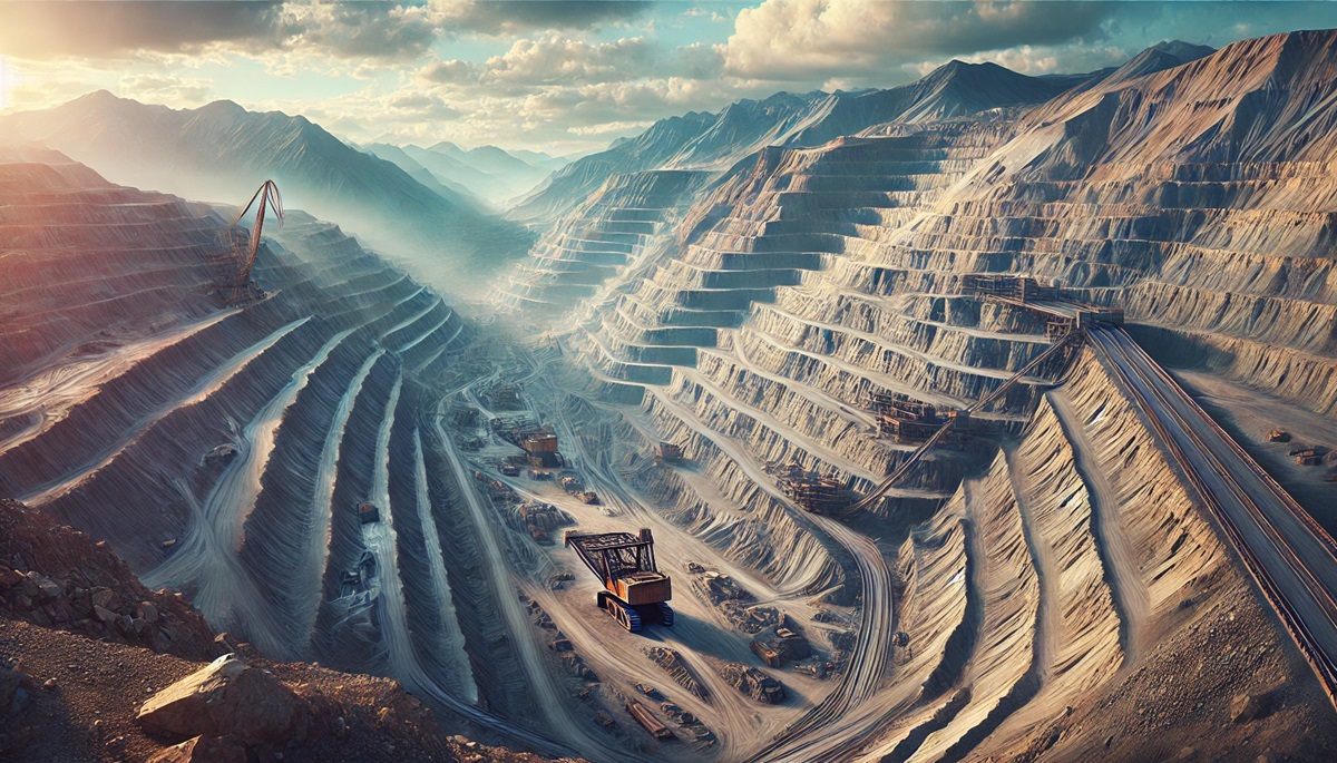
#2: North Antelope Rochelle Mine – Over 100 Square Miles
Located in Wyoming, the North Antelope Rochelle Mine is the largest coal mine in the United States by production and size. Spanning over 100 square miles, this surface mine produces more coal annually than many countries consume. Owned by Peabody Energy, it is situated in the Powder River Basin, which contains some of the cleanest coal in the world.
The mine was established in the 1980s and has grown through acquisitions and expansions. Its interesting fact lies in its efficiency; the mine’s seams are so thick and close to the surface that the cost of extraction is among the lowest globally. Anecdotes from the mine often center on the colossal draglines used to move hundreds of tons of overburden with each scoop, making it an engineering marvel.
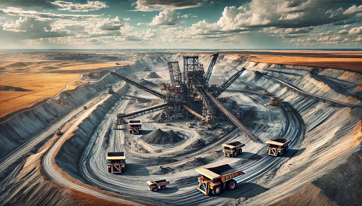
#3: Morenci Mine – Over 2 Miles Wide
The Morenci Mine in Arizona is a behemoth in copper production, covering over 2 miles in width. Operated by Freeport-McMoRan, it has been active since the late 1800s. Originally an underground mine, it transitioned to open-pit operations in the 1930s and is now the largest copper producer in North America.
Morenci’s history includes its critical role during World War II, providing the copper needed for military efforts. Anecdotes often highlight the tight-knit community that developed around the mine, with generations of families working there. Today, the mine is at the forefront of automation, employing autonomous haul trucks to improve efficiency and safety.
#4: Carlin Gold Mine – Over 25 Miles Long
The Carlin Gold Mine in Nevada is part of the famous Carlin Trend, a prolific gold-producing region stretching over 25 miles. Owned by Newmont Corporation, the mine includes multiple open-pit and underground operations, making it one of the largest gold mines in the United States.
Discovered in the 1960s, the Carlin Gold Mine revolutionized mining with its use of heap-leach extraction, which made it possible to process low-grade ore profitably. Stories from the mine often reflect the perseverance required to develop what was initially considered barren land. The site continues to produce millions of ounces of gold annually and has been a significant contributor to Nevada’s economy.
#5: Twin Creeks Mine – 990 Acres
The Twin Creeks Mine in Nevada is a significant gold producer covering nearly 1,000 acres. Operated by Newmont Corporation, it is part of the Northern Nevada Rift, a region rich in precious metals. Since its inception in the late 1980s, Twin Creeks has been a cornerstone of Nevada’s mining industry.
The mine is noted for its efforts in sustainability, including land reclamation projects and water conservation. Miners recount stories of overcoming challenging geology to extract gold efficiently. Twin Creeks exemplifies how modern mining balances productivity with environmental stewardship.
#6: Fort Knox Gold Mine – 1,000 Acres
Located in Alaska, the Fort Knox Gold Mine spans over 1,000 acres and is one of the most productive gold mines in the United States. Owned by Kinross Gold, the mine is known for its scenic location amidst the Alaskan wilderness. It began operations in 1996 and has consistently produced gold using heap-leach technology.
The Fort Knox Mine is notable for its community involvement, supporting local initiatives and creating jobs in a remote region. Anecdotes often describe the challenges posed by Alaska’s harsh winters, which miners have adapted to with innovative solutions. The mine’s longevity and consistent output make it a vital part of the U.S. gold industry.
#7: Chino Mine – 1.75 Miles Wide
The Chino Mine, also known as the Santa Rita Mine, is a historic copper mine in New Mexico that spans 1.75 miles in width. Operated by Freeport-McMoRan, it has been in operation since the early 1900s and remains one of the largest copper producers in the U.S.
The mine is steeped in history, having been among the first sites to implement large-scale open-pit mining. Anecdotes from the early days tell of pioneering methods that transformed mining practices. Today, the Chino Mine continues to produce copper while preserving its rich legacy.
#8: Bagdad Mine – 1.5 Miles Wide
The Bagdad Mine in Arizona covers 1.5 miles and is another major copper producer. Owned by Freeport-McMoRan, it has been a critical part of Arizona’s mining landscape since the 1880s. The mine transitioned to open-pit operations in the 1940s and remains a key supplier of copper.
Bagdad’s history includes the development of innovative milling processes that improved copper recovery rates. Miners often share stories of the mine’s transformation from a small operation to a global leader in copper production. Its commitment to sustainability includes extensive recycling of water and land reclamation projects.
#9: Henderson Mine – 10 Square Miles
Located in Colorado, the Henderson Mine is one of the largest molybdenum mines in the world, covering 10 square miles. Operated by Freeport-McMoRan, it has been a vital source of this alloy-strengthening metal since the 1970s. The mine is an underground operation, making it unique among the entries on this list.
The Henderson Mine is known for its innovative conveyor system, which transports ore over 10 miles to a processing facility. Anecdotes often highlight the camaraderie of the miners who work in challenging underground conditions. The mine’s contribution to the steel industry is invaluable, supporting infrastructure projects worldwide.
#10: Coeur Rochester Mine – 10 Square Miles
The Coeur Rochester Mine in Nevada spans 10 square miles and is a major silver and gold producer. Operated by Coeur Mining, it has been in operation since the 1980s. The mine uses heap-leach technology to process ore and is a leader in silver production.
The mine’s location in the historic mining district of Rochester adds to its charm. Anecdotes often include tales of early prospectors who discovered the area’s potential. Today, the Coeur Rochester Mine exemplifies modern mining practices while honoring its historical roots.
The United States’ largest mines are not only vital to the economy but also serve as monuments to human innovation and perseverance. From the immense copper pits of the Southwest to the gold-rich veins of Nevada and Alaska, these mines reflect the country’s resource wealth and industrial might. Their histories are filled with fascinating stories, and their operations continue to evolve with technological advancements. As the demand for resources grows, these colossal sites remain critical to the nation’s future, blending legacy with progress.
More Great Top 10’s
Mines and Maps
Learn more about Maps
- Topographical Maps: Representation of the physical features of a region or area.
- Contour Maps: Representation of the contours of the land surface or ocean floor.
- Raised Relief Maps: Representation of land elevations with raised features indicating landforms.
- Terrain Maps: Representation of the physical features of a terrain or landmass.
- USGS Topographic Maps: Representation of topographic features and land elevations based on USGS data.
- USGS Historical Topographic Maps: Representation of historical topographic maps created by the USGS.
- Watershed Maps: Representation of the areas where water flows into a particular river or lake.
- Elevation Maps: Representation of land and water elevations with high precision.
- Physical Maps: Representation of physical features of the Earth’s surface such as landforms, oceans, and plateaus.
- Bathymetric Maps: Representation of the topography and features of the ocean floor.
- NOAA Maps: Representation of atmospheric, oceanographic, and environmental data by NOAA.
- Nautical Maps: Representation of the underwater features and depth of an area for navigation purposes.
- Geologic Maps: Representation of the geologic features of an area such as rock types, faults, and folds.
- Satellite Maps: Representation of earth from high-definition satellite imagery.
Contact us today to learn more about our services and how we can help you achieve your goals.


