Top 10 Largest Mountain Ranges in the United States
Top 10 Largest Mountain Ranges in the United States
WhiteClouds builds 3D Raised Relief Maps
The United States is home to some of the most breathtaking and diverse mountain ranges in the world. These ranges stretch across vast regions, offering towering peaks, lush valleys, and stories that are as old as the land itself. From the eastern Appalachians to the rugged Rockies, these geological wonders are both natural barriers and cultural landmarks, deeply intertwined with American history and the natural environment. Here are the top 10 longest mountain ranges in the United States, each with its unique characteristics and significance.
#1: Rocky Mountains – Highest Peak: Mount Elbert, 14,440 Feet
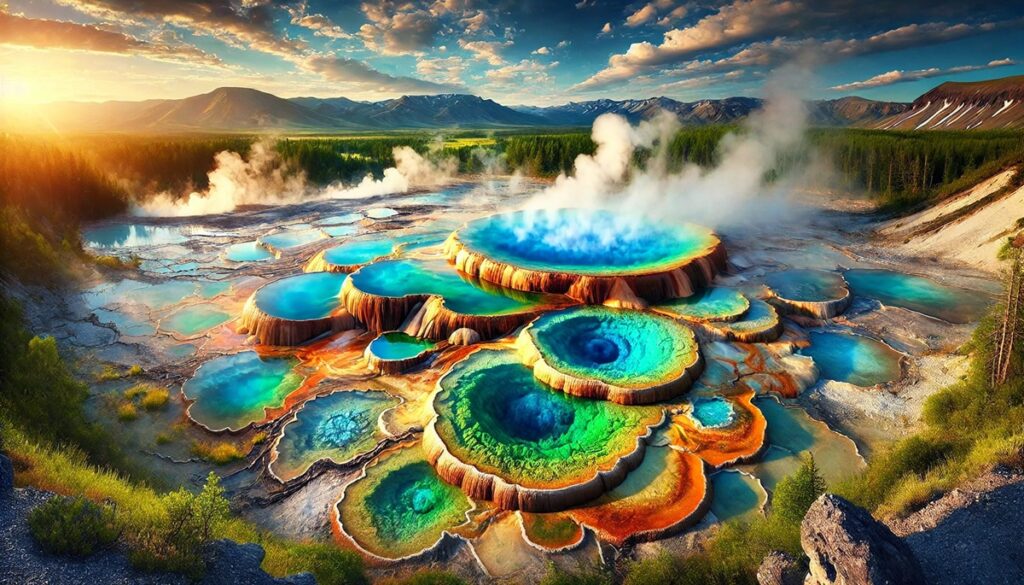
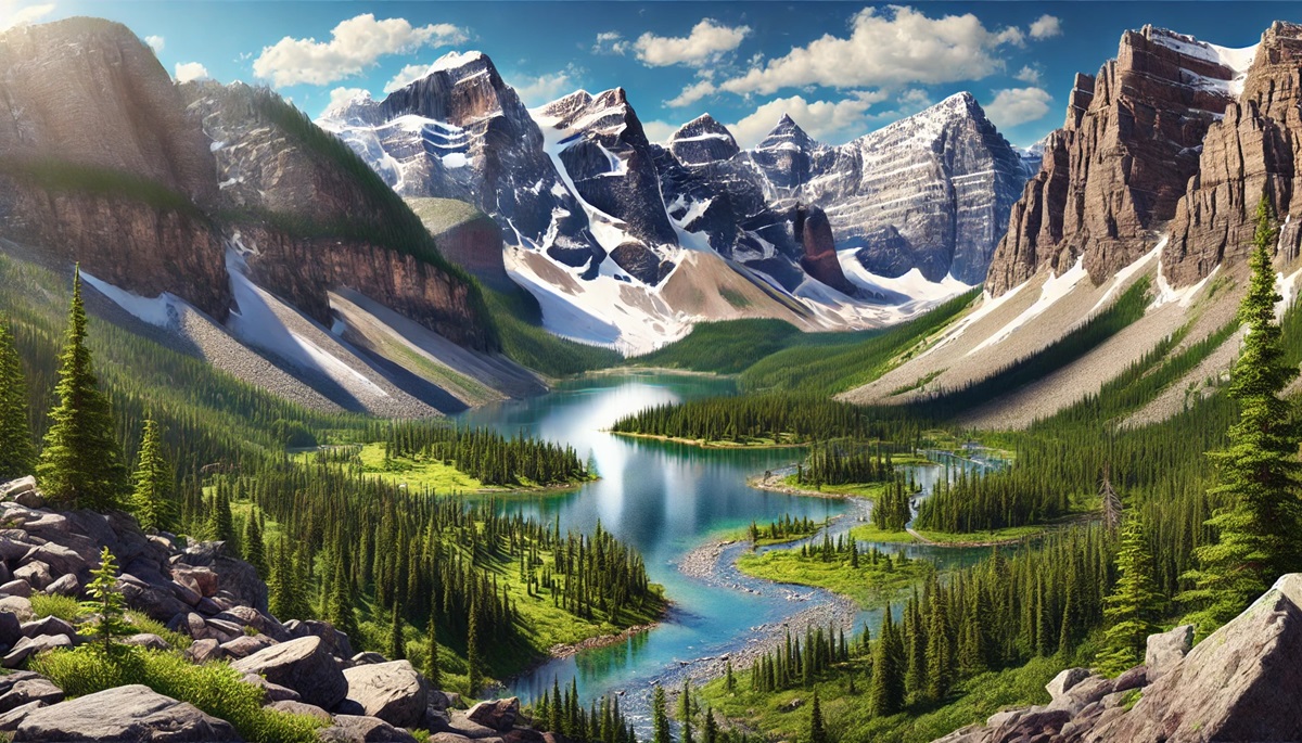
The Rocky Mountains stretch over 3,000 miles, spanning from New Mexico to the northernmost parts of British Columbia, Canada. This iconic range forms the backbone of North America and is characterized by its jagged peaks, alpine meadows, and glacier-fed rivers. The Rockies encompass numerous national parks, including Yellowstone and Rocky Mountain National Park, making them a haven for outdoor enthusiasts.
The history of the Rockies is rich with tales of Native American tribes, fur trappers, and gold prospectors. Legends tell of the mountain spirits guiding travelers through perilous trails. Today, the Rockies are a critical ecological region, hosting diverse wildlife such as elk, grizzly bears, and bighorn sheep. Their awe-inspiring beauty and cultural importance make them a symbol of America’s rugged frontier spirit.
#2: Appalachian Mountains – Highest Peak: Mount Mitchell, 6,684 Feet
The Appalachian Mountains span approximately 2,000 miles from Alabama to Canada, making them the oldest mountain range in North America. Known for their rolling hills, dense forests, and mist-covered valleys, the Appalachians are a geologist’s dream, with rocks dating back over 480 million years.
The range is steeped in folklore and history, from tales of Appalachian settlers to the songs of bluegrass musicians inspired by its beauty. The Appalachian Trail, a 2,190-mile hiking path, attracts thousands of hikers annually. Despite their age and erosion, the Appalachians remain a vital cultural and ecological region.

#3: Sierra Nevada – Highest Peak: Mount Whitney, 14,505 Feet
The Sierra Nevada stretches over 400 miles along the eastern edge of California and Nevada. Known for its dramatic granite peaks, alpine lakes, and towering sequoias, the Sierras are home to Yosemite National Park and Lake Tahoe.
This range has a storied history, from the Native American tribes who revered its landscapes to the California Gold Rush that brought prospectors in search of fortune. Anecdotes abound of climbers conquering El Capitan’s sheer face or hikers braving the John Muir Trail. Today, the Sierra Nevada is celebrated for its natural beauty and biodiversity.
#4: Cascade Range – Highest Peak: Mount Rainier, 14,411 Feet
The Cascade Range stretches over 700 miles, from British Columbia through Washington and Oregon to Northern California. These volcanic mountains are known for their snow-capped peaks, lush forests, and dramatic waterfalls. The range includes active volcanoes such as Mount St. Helens and Mount Hood.
The Cascades are a vital part of the Pacific Northwest’s identity, providing water, recreation, and stunning vistas. Stories of the eruption of Mount St. Helens in 1980 serve as a stark reminder of the range’s geological activity. Today, the Cascades are a playground for outdoor adventurers.
#5: Alaska Range – Highest Peak: Denali, 20,310 Feet
The Alaska Range spans 600 miles and is home to Denali, the tallest mountain in North America. This remote and rugged range is characterized by its glaciated peaks, dramatic valleys, and extreme weather conditions.
The history of the Alaska Range is intertwined with the indigenous Athabaskan people, who have lived in its shadow for centuries. Tales of early explorers and mountaineers braving its harsh conditions add to its mystique. The range remains a symbol of wild, untamed beauty.
#6: Brooks Range – Highest Peak: Mount Chamberlin, 9,020 Feet
The Brooks Range stretches 700 miles across northern Alaska, marking the northernmost mountain range in the United States. This remote and pristine region is characterized by rugged peaks, tundra landscapes, and Arctic wildlife.
The Brooks Range has been a critical area for indigenous peoples, including the Iñupiat and Gwich’in, for thousands of years. Stories of their survival in this harsh environment highlight the resourcefulness of human adaptation. The range is also a hotspot for paleontological discoveries, including dinosaur fossils.
#7: Ouachita Mountains – Highest Peak: Mount Magazine, 2,753 Feet
The Ouachita Mountains stretch over 225 miles across Arkansas and Oklahoma, known for their folded ridges and dense forests. This range is unique for its east-west orientation, a rarity among U.S. mountain ranges.
The history of the Ouachitas is deeply tied to Native American tribes, such as the Caddo, and later to European settlers. The range’s hot springs have long been a draw for visitors, earning it the nickname “America’s Spa.” Today, the Ouachitas are a serene retreat for hikers and nature lovers.
#8: Blue Ridge Mountains – Highest Peak: Mount Mitchell, 6,684 Feet
Part of the Appalachian chain, the Blue Ridge Mountains stretch over 600 miles from Georgia to Pennsylvania. Known for their characteristic bluish haze, these mountains are a haven of biodiversity and stunning vistas.
The Blue Ridge Parkway, one of America’s most scenic drives, winds through this range, offering breathtaking views of rolling peaks and valleys. Anecdotes of moonshiners evading revenuers in the dense forests add a touch of folklore to the range’s history.
#9: Wasatch Range – Highest Peak: Mount Nebo, 11,928 Feet
The Wasatch Range stretches 160 miles through Utah and Idaho, serving as a dramatic backdrop to Salt Lake City. Known for its steep canyons and alpine lakes, the Wasatch Range is a hub for outdoor recreation, particularly skiing.
Stories of pioneers crossing the Wasatch during westward expansion highlight its role in shaping American history. The range remains a vital water source for the region, supporting agriculture and urban areas.
#10: Adirondack Mountains – Highest Peak: Mount Marcy, 5,344 Feet
The Adirondack Mountains cover over 5 million acres in upstate New York, making them the largest protected area in the contiguous United States. Known for their rugged peaks, pristine lakes, and dense forests, the Adirondacks are a natural wonder.
The history of the Adirondacks includes tales of loggers, artists, and conservationists drawn to its beauty. Today, the Adirondack Park is a refuge for wildlife and a favorite destination for outdoor enthusiasts.
The longest mountain ranges in the United States are not just geological formations; they are living landscapes with rich histories and cultural significance. From the majestic Rockies to the storied Appalachians, these ranges have shaped the land and its people. Their breathtaking beauty and ecological importance continue to inspire and challenge those who explore their peaks and valleys. Preserving these natural wonders ensures that their stories endure for generations to come.
More Great Top 10’s
Mountain Ranges and Maps
Learn more about Maps
- Topographical Maps: Representation of the physical features of a region or area.
- Contour Maps: Representation of the contours of the land surface or ocean floor.
- Raised Relief Maps: Representation of land elevations with raised features indicating landforms.
- Terrain Maps: Representation of the physical features of a terrain or landmass.
- USGS Topographic Maps: Representation of topographic features and land elevations based on USGS data.
- USGS Historical Topographic Maps: Representation of historical topographic maps created by the USGS.
- Watershed Maps: Representation of the areas where water flows into a particular river or lake.
- Elevation Maps: Representation of land and water elevations with high precision.
- Physical Maps: Representation of physical features of the Earth’s surface such as landforms, oceans, and plateaus.
- Bathymetric Maps: Representation of the topography and features of the ocean floor.
- NOAA Maps: Representation of atmospheric, oceanographic, and environmental data by NOAA.
- Nautical Maps: Representation of the underwater features and depth of an area for navigation purposes.
- Geologic Maps: Representation of the geologic features of an area such as rock types, faults, and folds.
- Satellite Maps: Representation of earth from high-definition satellite imagery.
Contact us today to learn more about our services and how we can help you achieve your goals.


