Top 10 Largest Oases in the World
Top 10 Largest Oases in the World
WhiteClouds builds 3D Raised Relief Maps
The world’s oases are some of the most intriguing and life-sustaining geographical features, scattered across arid regions where water is a rare and precious commodity. These lush havens of greenery, formed around natural springs or manmade water sources, have historically been essential for the survival of travelers, traders, and local communities. Oases often carry the weight of ancient civilizations, vibrant cultures, and fascinating anecdotes, offering a glimpse into the resilience of life in challenging climates. Here’s a look at the top 10 largest oases in the world, each a marvel in its own right.
#1: Al-Ahsa Oasis – 85 Feet Above Sea Level
Al-Ahsa Oasis, located in the Eastern Province of Saudi Arabia, is the largest oasis in the world, sprawling over 30,000 acres with over 2.5 million palm trees. Nestled amidst a dry, barren desert landscape, it is a UNESCO World Heritage site renowned for its rich history dating back thousands of years. The water that sustains this oasis is sourced from more than 280 artesian springs, creating a flourishing ecosystem in the middle of an otherwise harsh environment.
Legend has it that Al-Ahsa was once a resting spot for ancient traders on the Arabian Peninsula, offering shade, water, and an abundance of dates to weary travelers. Historically, it played a key role in the caravan trade routes, linking the Gulf Coast to other parts of the Arabian Peninsula. Visitors today marvel at its verdant fields, age-old irrigation systems, and the harmonious balance between nature and human ingenuity. The palm groves have also been the subject of many local folk tales, symbolizing hope and sustenance in the heart of the desert.
#2: Kharga Oasis – 200 Feet Above Sea Level
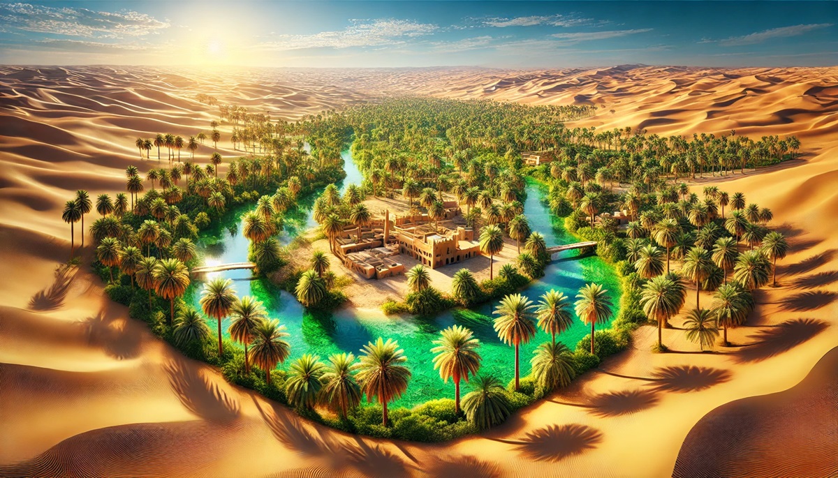
The Kharga Oasis in Egypt, part of the expansive Western Desert, is a massive expanse of fertile land that has supported life since ancient times. With its palm plantations and bubbling springs, Kharga was an important stop along the ancient caravan routes, offering respite for traders carrying goods between Africa and the Mediterranean.
Kharga’s historical significance is underscored by its ancient temples, such as the Temple of Hibis, built during the Persian era. The oasis also boasts a network of underground aqueducts, known as qanats, that have supported agriculture for centuries. Anecdotes tell of Bedouin tribes gathering under the stars in Kharga to share stories and trade goods. Today, the oasis remains a testament to human ingenuity in creating life in the midst of desolation.
#3: Farafra Oasis – 360 Feet Above Sea Level
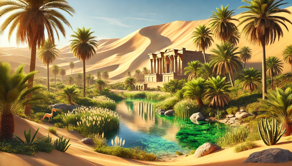
Farafra Oasis, also in Egypt, is famous for its breathtaking White Desert, a surreal landscape of chalk rock formations sculpted by wind and sand. The oasis itself is a vibrant hub of date palms, olive trees, and springs, offering a stark contrast to the surrounding barren land.
Ancient Roman wells dot the oasis, hinting at its historical role as a settlement and a resting point on trade routes. Locals recount tales of caravans bringing spices, textiles, and other treasures to Farafra, creating a bustling hub of activity amidst the quiet desert. Visitors are often drawn to the cultural richness of the area, where traditional mud-brick houses and local crafts add to its charm.
#4: Liwa Oasis – 165 Feet Above Sea Level
Stretching over 60 miles, the Liwa Oasis in the United Arab Emirates is a crescent-shaped marvel bordering the Rub’ al Khali, or the Empty Quarter. With towering sand dunes surrounding its lush plantations, Liwa is a dramatic and picturesque destination. Its freshwater comes from underground aquifers, sustaining sprawling date farms and other crops.
Historically, Liwa was a key settlement for the Bani Yas tribe, the ancestors of Abu Dhabi’s ruling family. Anecdotes describe how Bedouins survived on camel milk and dates in this arid landscape, relying on the oasis’s life-giving water. Modern visitors are captivated by Liwa’s annual festivals celebrating traditional Emirati culture and its stunning vistas at sunset.
#5: Turpan Oasis – 500 Feet Below Sea Level
Located in China’s Xinjiang region, the Turpan Oasis is one of the lowest oases on Earth, lying below sea level. It is fed by the Karez underground irrigation system, a marvel of ancient engineering that channels water from the surrounding mountains. The oasis is famous for its vineyards, producing some of the finest grapes and raisins in China.
The Turpan Oasis was a vital stop along the Silk Road, connecting traders from the East and West. Anecdotes tell of bustling bazaars filled with silk, spices, and exotic goods, as well as scholars exchanging ideas and knowledge. Today, visitors marvel at the lush vineyards, ancient ruins, and the cultural heritage preserved in this remarkable oasis.
#6: Fezzan Oasis – 1,200 Feet Above Sea Level
The Fezzan Oasis in Libya is a vast network of oases scattered across the Fezzan region. Known for its stunning desert landscapes, Fezzan offers a unique blend of natural beauty and historical significance. Its palm groves and water sources have supported nomadic tribes for centuries.
Ancient rock carvings found in the area provide glimpses into the life of early inhabitants, who relied on the oasis for survival. Anecdotes of camel caravans traversing the Sahara, guided by the stars and sustained by Fezzan’s water, evoke a sense of adventure and resilience. The oasis remains a critical part of Libyan culture and history.
#7: Siwa Oasis – 60 Feet Below Sea Level
Situated in Egypt’s Western Desert, Siwa Oasis is a serene retreat known for its natural springs, salt lakes, and olive groves. Its remote location has preserved its unique Berber culture and traditions, making it a fascinating destination for cultural exploration.
Historically, Siwa was an important religious center, home to the Oracle of Amun, visited by Alexander the Great. Anecdotes of Alexander’s journey to consult the oracle add a layer of mystique to this enchanting oasis. Today, visitors enjoy its therapeutic salt lakes and the stunning views of the surrounding desert.
#8: Tafilalt Oasis – 2,300 Feet Above Sea Level
The Tafilalt Oasis in Morocco is one of the largest oases in North Africa, spanning over 31 miles. Known for its dense palm groves and historic ksars (fortified villages), Tafilalt has been a center of trade and culture for centuries.
Legend has it that the oasis was a key stop for caravans crossing the Sahara, with merchants exchanging goods and stories under the shade of its palms. Today, Tafilalt is a confirmation to Morocco’s rich heritage, offering visitors a glimpse into the region’s history and natural beauty.
#9: Huacachina Oasis – 1,200 Feet Above Sea Level
Located in Peru, Huacachina is a small but stunning oasis surrounded by massive sand dunes. Its picturesque lagoon, lined with palm trees, is a popular destination for adventurers seeking sandboarding and dune buggy rides.
Local folklore tells of a mermaid living in the lagoon, guarding its waters. Historically, Huacachina was a retreat for the Peruvian elite, who believed in the therapeutic properties of its waters. Today, it remains a symbol of nature’s beauty and resilience.
#10: Al Qatif Oasis – 20 Feet Above Sea Level
Al Qatif Oasis in Saudi Arabia is another sprawling haven of greenery, sustained by natural springs and ancient irrigation systems. Its palm groves have been a source of livelihood for generations, producing some of the finest dates in the region.
Historically, Al Qatif was a bustling center of trade, connecting the Arabian Peninsula to the Gulf. Anecdotes of merchants bartering goods under its palms highlight its cultural and economic significance. The oasis continues to thrive, blending tradition and modernity.
The oases of the world are more than just geographical features; they are lifelines for civilizations, cultural treasures, and windows into humanity’s ability to adapt and thrive in challenging conditions. From the vast palm groves of Al-Ahsa to the serene beauty of Huacachina, these oases represent the enduring connection between nature and human survival. As we explore these lush havens, we uncover stories of resilience, ingenuity, and the timeless allure of life in the desert.
More Great Top 10’s
Oases and Maps
Learn more about Maps
- Topographical Maps: Representation of the physical features of a region or area.
- Contour Maps: Representation of the contours of the land surface or ocean floor.
- Raised Relief Maps: Representation of land elevations with raised features indicating landforms.
- Terrain Maps: Representation of the physical features of a terrain or landmass.
- USGS Topographic Maps: Representation of topographic features and land elevations based on USGS data.
- USGS Historical Topographic Maps: Representation of historical topographic maps created by the USGS.
- Watershed Maps: Representation of the areas where water flows into a particular river or lake.
- Elevation Maps: Representation of land and water elevations with high precision.
- Physical Maps: Representation of physical features of the Earth’s surface such as landforms, oceans, and plateaus.
- Bathymetric Maps: Representation of the topography and features of the ocean floor.
- NOAA Maps: Representation of atmospheric, oceanographic, and environmental data by NOAA.
- Nautical Maps: Representation of the underwater features and depth of an area for navigation purposes.
- Geologic Maps: Representation of the geologic features of an area such as rock types, faults, and folds.
- Satellite Maps: Representation of earth from high-definition satellite imagery.
Contact us today to learn more about our services and how we can help you achieve your goals.


