Top 10 Largest Ocean Trenches in the World
Top 10 Largest Ocean Trenches in the World
WhiteClouds builds 3D Raised Relief Maps
The ocean is vast, mysterious, and home to some of the planet’s most dramatic geological features—ocean trenches. These massive, elongated depressions in the sea floor are formed by the movement of tectonic plates, where one plate is forced beneath another in a process known as subduction. Ocean trenches are not just remarkable for their sheer size but also for their scientific significance and the secrets they hold about Earth’s history and life in extreme environments. Here, we explore the top 10 largest ocean trenches in the world, each a confirmation to the dynamic forces shaping our planet.
#1: Mariana Trench – Depth: 36,037 feet
The Mariana Trench, located in the western Pacific Ocean, is the deepest ocean trench in the world, plunging to an incredible depth of 36,037 feet. Stretching over 1,580 miles, this trench is situated east of the Mariana Islands and is home to the Challenger Deep, the deepest known point on Earth. The trench’s immense pressure, lack of sunlight, and near-freezing temperatures make it one of the most extreme environments on the planet. Despite these challenges, the trench is teeming with life, including microorganisms, snailfish, and amphipods. An interesting anecdote involves filmmaker James Cameron, who descended to the bottom of the trench in 2012, marking only the second human-crewed mission to its depths. Historically, the trench has fascinated explorers and scientists alike, with its discovery dating back to the late 19th century during the HMS Challenger expedition.
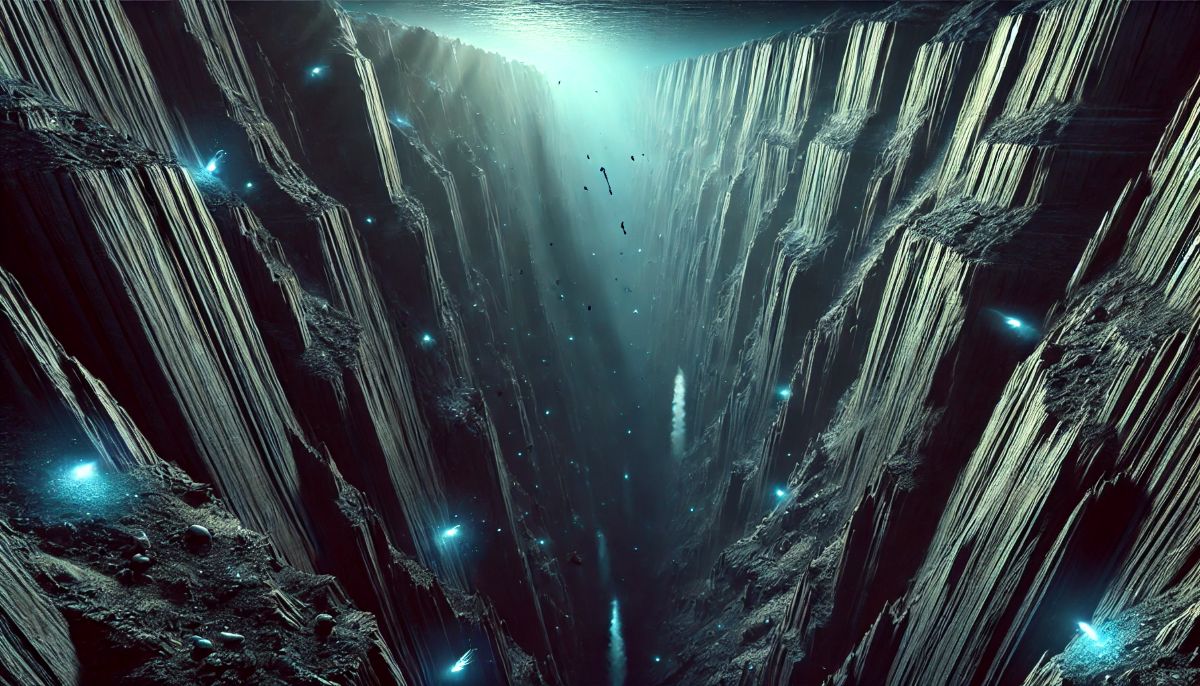
#2: Tonga Trench – Depth: 35,702 feet
The Tonga Trench, located in the South Pacific Ocean near Tonga, is the second-deepest trench, reaching depths of 35,702 feet. This trench is known for its active tectonic activity and is one of the most seismically active regions in the world. The trench is a hotspot for subduction earthquakes and tsunamis, with historical accounts of devastating events tied to its tectonic dynamics. Its location in a volcanically active area adds to its scientific interest. Remarkably, the trench is home to unique deep-sea species like giant amphipods and strange gelatinous creatures that thrive in these extreme conditions. The trench’s role in geophysical studies and its rich biodiversity make it an essential site for oceanic research.
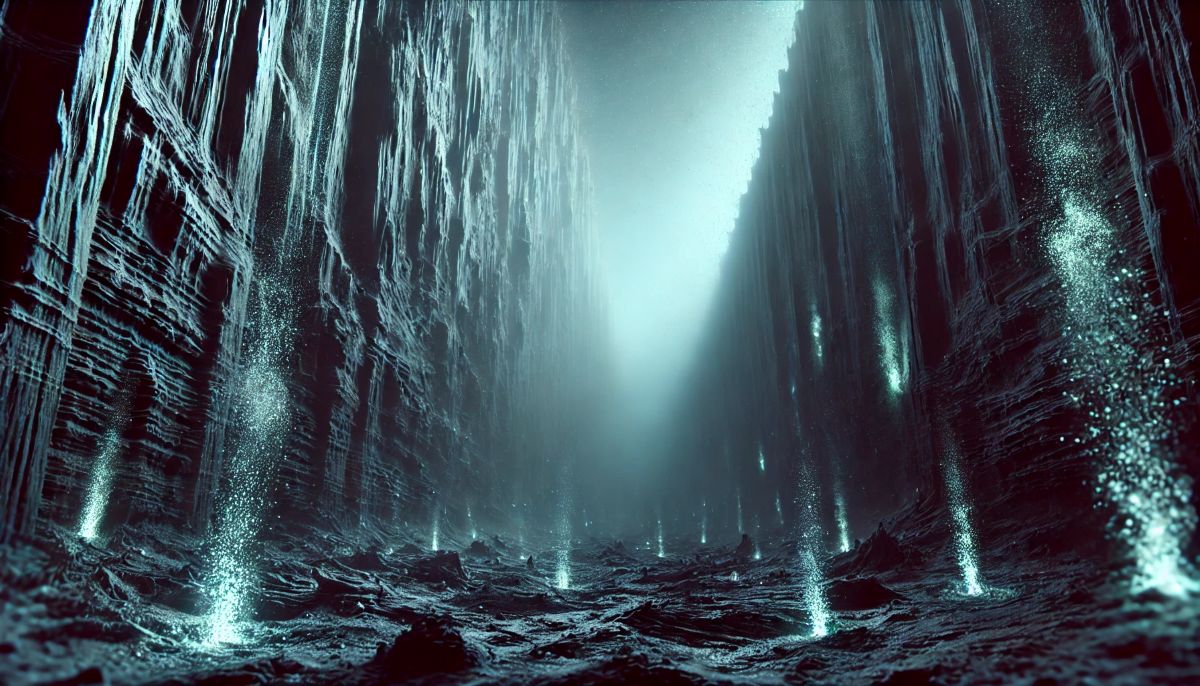
#3: Philippine Trench – Depth: 34,580 feet
The Philippine Trench, also known as the Mindanao Trench, lies east of the Philippines and extends 820 miles. At a depth of 34,580 feet, it is among the deepest trenches in the Pacific Ocean. The trench is notable for its complex geological formation, resulting from the collision of the Philippine Sea Plate and the Eurasian Plate. Stories of local legends suggest the trench was once considered a gateway to the underworld. Scientific exploration has uncovered a range of fascinating species, from deep-sea jellyfish to bioluminescent organisms. Its history, marked by earthquakes and volcanic activity, continues to shape the region’s geology and biodiversity.
#4: Kuril-Kamchatka Trench – Depth: 34,449 feet
Situated in the northwestern Pacific, the Kuril-Kamchatka Trench reaches depths of 34,449 feet. Stretching along the Kuril Islands and the Kamchatka Peninsula, this trench is known for its association with the Pacific Ring of Fire. It is a crucial zone for understanding subduction processes and the formation of volcanic arcs. The trench has been the site of numerous deep-sea expeditions that have revealed a plethora of marine life adapted to its harsh environment. Its history is intertwined with significant seismic events, making it a subject of intense study for geologists and oceanographers.
#5: Kermadec Trench – Depth: 32,963 feet
The Kermadec Trench, located northeast of New Zealand, descends to depths of 32,963 feet. It is part of a larger subduction system associated with the Pacific and Indo-Australian plates. The trench is a haven for deep-sea exploration, with researchers discovering new species, including giant squid and strange crustaceans. The trench’s tectonic activity has shaped the surrounding seascape, creating undersea volcanoes and hydrothermal vents. Anecdotal accounts from explorers detail encounters with bioluminescent organisms that illuminate the trench’s inky black waters.
#6: Izu-Bonin Trench – Depth: 32,634 feet
The Izu-Bonin Trench, located south of Japan, reaches a depth of 32,634 feet. This trench is part of a geologically active region that includes the Mariana Trench to its south. Its formation results from the Pacific Plate subducting beneath the Philippine Sea Plate. The trench is known for its rich biodiversity, including species uniquely adapted to high-pressure environments. Historical studies of the trench have provided valuable insights into plate tectonics and the processes that create such immense underwater structures.
#7: Japan Trench – Depth: 29,988 feet
The Japan Trench, located east of Japan, has a maximum depth of 29,988 feet. It is closely associated with the devastating Tōhoku earthquake and tsunami of 2011, which brought global attention to its tectonic significance. The trench plays a critical role in understanding the seismic activity that affects Japan and the surrounding region. Explorations of the trench have revealed a variety of deep-sea organisms and geological features that offer a glimpse into the dynamic processes shaping the ocean floor.
#8: Puerto Rico Trench – Depth: 27,480 feet
The Puerto Rico Trench, located in the Atlantic Ocean, is the deepest trench in this basin, reaching depths of 27,480 feet. Stretching over 500 miles, it is situated between the Caribbean Sea and the Atlantic Ocean. The trench is of particular interest due to its potential to generate significant earthquakes and tsunamis. The rich biodiversity of the trench includes species like deep-sea corals and bioluminescent fish. Its history is steeped in mystery, with early explorers marveling at its immense depth and unique geology.
#9: South Sandwich Trench – Depth: 27,650 feet
The South Sandwich Trench, located in the southern Atlantic Ocean, reaches depths of 27,650 feet. This trench is associated with the South Sandwich Islands and is part of an active subduction zone. Its extreme conditions have been the focus of scientific research, revealing a variety of deep-sea species. The trench’s geological activity, including frequent earthquakes, makes it an important site for understanding tectonic processes.
#10: Sunda Trench – Depth: 24,440 feet
The Sunda Trench, also known as the Java Trench, is located in the Indian Ocean near Indonesia. With a depth of 24,440 feet, it is closely linked to the infamous 2004 Indian Ocean earthquake and tsunami. The trench is part of a tectonically active region that shapes the geology of Southeast Asia. Its waters harbor a range of deep-sea creatures, and its history is marked by seismic events that have had a profound impact on the region.
Ocean trenches are nature’s enigmatic scars etched into the seafloor, plunging to unfathomable depths where sunlight cannot penetrate, and life exists on the edge of the possible. On maps, they appear as dark, elongated grooves, their contours hinting at the colossal forces at play beneath Earth’s crust. These trenches are more than just geological formations; they are time capsules of the planet’s history and dynamic blueprints of tectonic drama. Cartographers, guided by sonar and satellite data, have transformed the invisible depths into vivid representations, revealing the sweeping arcs of trenches like the Mariana or Tonga. These maps not only chart the unseen but also ignite the imagination—each line and contour invite us to picture the silent world below, where alien creatures glide through inky blackness and the Earth’s plates grind in a slow-motion ballet. Mapping ocean trenches is like sketching the edge of infinity, a journey into the surreal unknown that reshapes how we perceive our blue planet.
More Great Top 10’s
Oceans and Maps
Learn more about Maps
- Topographical Maps: Representation of the physical features of a region or area.
- Contour Maps: Representation of the contours of the land surface or ocean floor.
- Raised Relief Maps: Representation of land elevations with raised features indicating landforms.
- Terrain Maps: Representation of the physical features of a terrain or landmass.
- USGS Topographic Maps: Representation of topographic features and land elevations based on USGS data.
- USGS Historical Topographic Maps: Representation of historical topographic maps created by the USGS.
- Watershed Maps: Representation of the areas where water flows into a particular river or lake.
- Elevation Maps: Representation of land and water elevations with high precision.
- Physical Maps: Representation of physical features of the Earth’s surface such as landforms, oceans, and plateaus.
- Bathymetric Maps: Representation of the topography and features of the ocean floor.
- NOAA Maps: Representation of atmospheric, oceanographic, and environmental data by NOAA.
- Nautical Maps: Representation of the underwater features and depth of an area for navigation purposes.
- Geologic Maps: Representation of the geologic features of an area such as rock types, faults, and folds.
- Satellite Maps: Representation of earth from high-definition satellite imagery.
Contact us today to learn more about our services and how we can help you achieve your goals.

