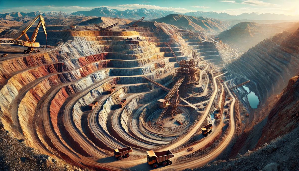
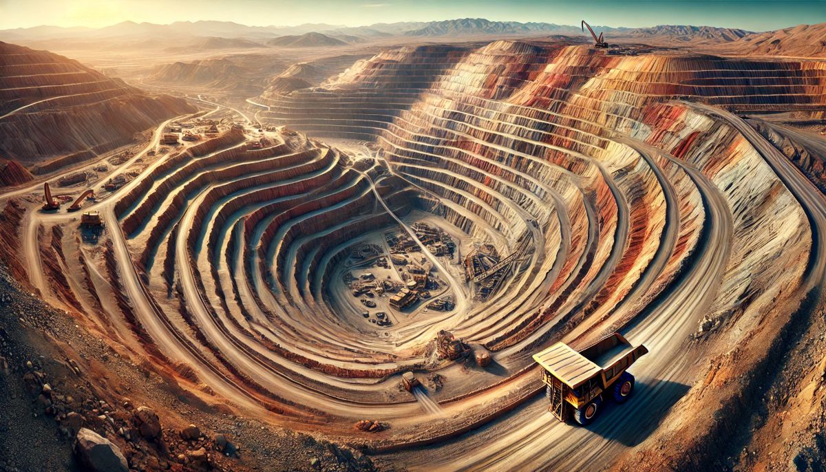
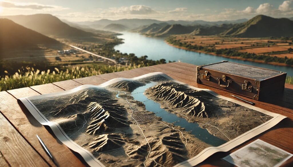
Open pit mines are more than just gaping voids in the earth; they are intricate, sprawling landscapes that defy imagination and redefine our relationship with geography. Viewed from above, these mines resemble alien terrains, their terraces and spiraling paths etched like fingerprints onto the planet’s surface. Maps of open pit mines tell stories of extraction, ambition, and innovation. They transform rugged topography into a grid of precision and possibility, charting the interplay between natural wealth and human determination. Each contour line, shaded gradient, and marked boundary reveals a narrative of discovery, planning, and excavation on a monumental scale. These maps serve not just as tools for engineers and miners but as artistic depictions of how humanity reshapes the earth in pursuit of its treasures. They invite viewers to marvel at the vastness of these industrial craters, while subtly questioning the cost—both environmental and cultural—of such transformation. In their abstract beauty and mathematical precision, maps of open pit mines become a confirmation to humanity’s power to chart, measure, and transform even the most unforgiving landscapes.
Top 10 Largest Open Pit Mines
Top 10 Largest Open Pit Mines
WhiteClouds builds 3D Raised Relief Maps
Open pit mining is one of the most dramatic ways humans extract resources from the Earth. These colossal excavations leave behind scars on the landscape that are both awe-inspiring and humbling. Open pit mines represent human ingenuity and industrial might, while also raising important questions about sustainability and environmental stewardship. This list explores the ten largest open pit mines in the world, ranked by size, and dives into their histories, unique features, and fascinating stories.
#1: Bingham Canyon Mine (2.5 miles wide and 0.75 miles deep)
Located in Utah, USA, the Bingham Canyon Mine is the largest man-made excavation on Earth. Often called the Kennecott Copper Mine, it has been in operation since 1906. Over a century, workers have removed an estimated 19 million tons of material from the pit. Initially, the area was rich in copper ore deposits discovered by early settlers. The sheer scale of the mine is staggering—it’s visible from space. One of the mine’s most dramatic moments occurred in 2013 when a massive landslide displaced over 165 million tons of rock, marking one of the largest non-volcanic landslides in North American history. Despite this setback, operations resumed, showcasing the resilience of modern mining techniques.

#2: Chuquicamata Mine (2.8 miles wide and 2,788 feet deep)
Chuquicamata, in northern Chile, is one of the oldest and largest open pit mines globally. It’s been a cornerstone of Chile’s economy since its establishment in the early 20th century. This copper mine has contributed significantly to Chile’s title as the largest copper producer in the world. Legends surround Chuquicamata, including tales of miners who supposedly unearthed artifacts from ancient civilizations buried deep within the mine’s strata. The mine transitioned to underground operations in recent years to access deeper ore deposits, but its surface excavation remains a monumental confirmation to human endeavor.

#3: Escondida Mine (2.7 miles wide)
Escondida, also in Chile, is a titan of copper production and one of the richest deposits globally. The name “Escondida,” meaning “hidden” in Spanish, reflects the mine’s discovery beneath layers of barren desert. Operations began in 1990, and it quickly became a pillar of the global copper market. The mine’s innovative water management system, which uses desalinated seawater, is a marvel of engineering, given the arid environment. This sustainability measure ensures that the local communities remain unaffected by industrial water demands.
#4: Mirny Diamond Mine (0.75 miles wide and 1,722 feet deep)
The Mirny Mine in Siberia, Russia, is a fascinating example of Soviet-era ambition. Initially discovered in 1955, this diamond mine has a nearly circular shape that makes it resemble a massive crater. Once active, the mine produced some of the most exquisite diamonds, contributing to Russia’s global dominance in the diamond industry. Mirny’s chilling winds often disrupted mining operations, with tales of tools freezing in workers’ hands being common. Though no longer active, the mine has become a tourist attraction and a symbol of Russia’s industrial legacy.
#5: Grasberg Mine (2.5 miles wide and 1 mile deep)
Grasberg, located in Papua, Indonesia, is one of the most lucrative gold and copper mines globally. Discovered in 1936, it stands at a breathtaking altitude of over 13,000 feet in the mountains. Mining here is a logistical challenge due to the remote and rugged terrain. Despite the difficulties, Grasberg has extracted immense wealth, fueling Indonesia’s economy. The area’s indigenous people, however, have long lamented the environmental impact on their ancestral lands.
#6: Udachny Mine (0.75 miles wide and 2,000 feet deep)
The Udachny Mine in Russia’s Sakha Republic is another diamond giant. Opened in 1955, this mine produces stones that are often showcased in the most exclusive collections. Stories abound of workers finding massive diamonds during the bitter Siberian winters. The mine transitioned to underground operations in 2014, but its legacy as an open pit wonder endures.
#7: Fimiston Open Pit (Super Pit) (1.5 miles wide and 1,970 feet deep)
Australia’s Super Pit in Kalgoorlie, Western Australia, is an iconic gold mine that has been a major contributor to the global gold supply since the late 19th century. Its shimmering walls reflect the rich deposits within. The Super Pit has an annual “gold pour” ceremony, a local tradition celebrating the town’s mining heritage.
#8: Diavik Diamond Mine (0.6 miles wide)
Located in Canada’s Northwest Territories, Diavik is known for its remarkable diamond output and its location on a remote, icy island. Its operations began in 2003, and the mine has since become synonymous with ethical diamond mining. The surrounding tundra makes it one of the most picturesque mining sites, with ice roads providing seasonal access.
#9: Betze-Post Mine (1.2 miles wide and 1,850 feet deep)
The Betze-Post Mine in Nevada, USA, is one of the world’s largest gold-producing open pits. It’s a key part of the Carlin Trend, a geologic feature renowned for its gold deposits. This mine’s history is a tale of boom-and-bust cycles, with modern technology allowing for extensive exploitation of previously inaccessible reserves.
#10: Aitik Mine (1.1 miles wide and 1,400 feet deep)
Sweden’s Aitik Mine, primarily a copper mine, is one of the most significant in Europe. Discovered in 1930, the mine’s focus on sustainable practices, including efficient waste management, sets it apart. Its blend of modernity and historical roots makes it a fascinating case of mining evolution.
The vast scale of these open pit mines illustrates both the ingenuity and the costs of resource extraction. These colossal operations serve as a reminder of humanity’s dependency on natural resources and the importance of balancing progress with environmental responsibility. From stories of discovery to technological triumphs, these pits hold a treasure trove of human history and ambition.


