Top 10 Largest Plateaus in the World
Top 10 Largest Plateaus in the World
WhiteClouds builds 3D Raised Relief Maps
The vast and majestic plateaus of the world are a confirmation to the incredible geological processes that have shaped our planet. These elevated flatlands, often surrounded by rugged cliffs and mountains, offer breathtaking views, unique ecosystems, and rich histories. From high-altitude expanses to cultural hotspots, each plateau carries its own stories and mysteries. Let’s explore the top 10 largest plateaus in the world, diving into their heights, geographical features, fascinating facts, and the history behind their grandeur.
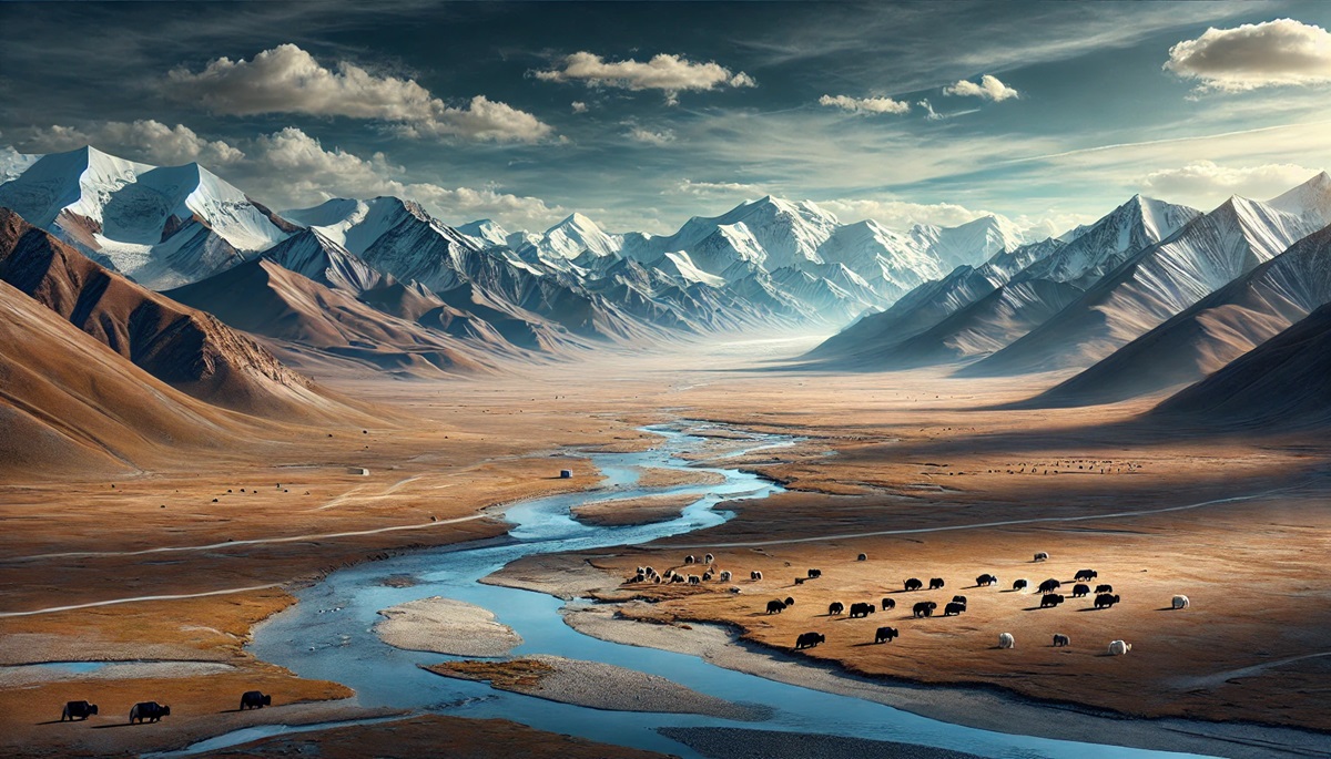
#1: Tibetan Plateau – Average Height: 14,800 ft
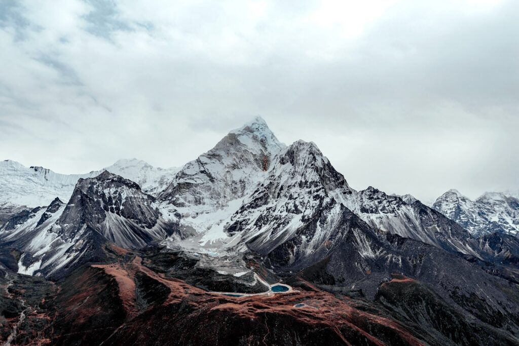
The Tibetan Plateau, often referred to as the “Roof of the World,” is the highest and largest plateau on Earth, covering over 965,000 square miles in Central Asia. Spanning across Tibet, China, and parts of India, this plateau is surrounded by some of the tallest mountain ranges, including the Himalayas and the Kunlun Mountains. The plateau’s extreme elevation and sparse vegetation create a unique ecosystem, home to snow leopards, yaks, and the elusive Tibetan antelope.
Historically, the plateau has been a cradle of Tibetan Buddhism, with ancient monasteries like the Potala Palace standing as architectural marvels. Anecdotal stories from explorers reveal the challenges of breathing in the thin air and the wonder of witnessing crystal-clear night skies. The plateau also holds significance as the source of major Asian rivers, including the Yangtze, Mekong, and Yellow Rivers. A visit to the Tibetan Plateau feels like stepping into a world above the clouds, where time moves at its own pace.
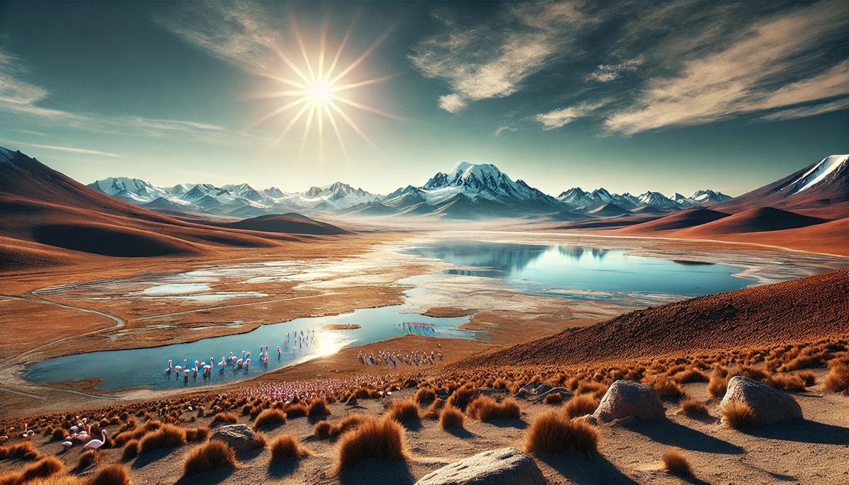
#2: Altiplano Plateau – Average Height: 12,300 ft
Nestled in the Andes Mountains, the Altiplano Plateau spans Bolivia, Peru, and Chile. This vast plateau, covering 105,000 square miles, is the second-highest in the world and is home to Lake Titicaca, the world’s highest navigable lake. The arid and windswept terrain is punctuated by active volcanoes and salt flats like Salar de Uyuni.
The plateau has been a cultural hub since pre-Inca times, with ancient ruins like Tiwanaku offering glimpses into early Andean civilizations. Travelers often recount stories of visiting the floating islands of Lake Titicaca, where indigenous communities maintain centuries-old traditions. The Altiplano’s stark beauty and vibrant cultural heritage make it a must-visit destination.
#3: Antarctic Plateau – Average Height: 9,800 ft
The Antarctic Plateau, a frozen expanse in the heart of Antarctica, is a place of extremes. Stretching over millions of square miles, this icy desert experiences some of the coldest temperatures on Earth, dropping to as low as -128.6°F. Covered by a thick ice sheet, the plateau’s average height is due to the accumulation of millennia-old ice.
Interesting tales emerge from early explorers like Roald Amundsen and Robert Falcon Scott, who braved the plateau’s relentless cold during their quests for the South Pole. Today, it serves as a hub for scientific research, hosting facilities like the Amundsen-Scott South Pole Station. The Antarctic Plateau’s untouched beauty and its critical role in regulating the Earth’s climate make it both awe-inspiring and essential.
#4: Ethiopian Plateau – Average Height: 8,000 ft
Known as the “Roof of Africa,” the Ethiopian Plateau is a high-altitude region in the Horn of Africa, covering 200,000 square miles. Its dramatic escarpments, lush valleys, and ancient rock-hewn churches make it a geological and cultural marvel.
The plateau has been at the center of Ethiopian history for millennia, serving as the cradle of the Axumite Empire and the birthplace of coffee. Anecdotal accounts often describe the awe of witnessing the Simien Mountains, where gelada baboons roam freely. The Ethiopian Plateau offers a unique blend of natural beauty and historical intrigue.
#5: Colorado Plateau – Average Height: 6,000 ft
Stretching across the southwestern United States, the Colorado Plateau spans 130,000 square miles and boasts dramatic red rock formations and deep canyons. Iconic sites like the Grand Canyon, Monument Valley, and Arches National Park draw millions of visitors annually. The plateau’s layers of sedimentary rock reveal a history of 300 million years, making it a geologist’s paradise.
Native American tribes, including the Navajo and Hopi, have called the Colorado Plateau home for centuries. Their stories and traditions are deeply tied to the land’s features, such as the towering sandstone formations. Hiking through its national parks, one can’t help but marvel at how water and wind have sculpted this breathtaking landscape.
#6: Iranian Plateau – Average Height: 3,600 ft
The Iranian Plateau, covering 1.4 million square miles, stretches across Iran, Afghanistan, and Pakistan. This ancient plateau is a land of deserts, mountains, and oases, with a history that dates back to the earliest human civilizations.
The plateau’s cities, like Isfahan and Yazd, are renowned for their architectural beauty and rich history. Travelers often recount the surreal experience of crossing the Dasht-e Kavir desert, where salt flats stretch as far as the eye can see. The Iranian Plateau’s blend of natural and cultural wonders makes it a fascinating destination.
#7: Patagonian Plateau – Average Height: 3,300 ft
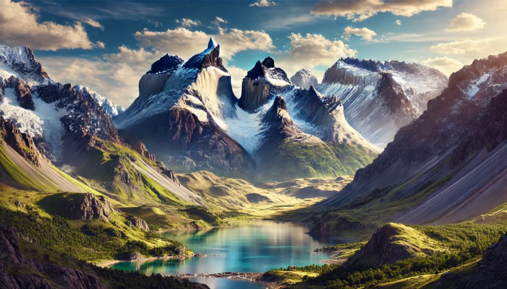
Stretching across Argentina and Chile, the Patagonian Plateau is one of South America’s largest plateaus. Its windswept steppe is surrounded by the Andes Mountains to the west and the Atlantic Ocean to the east. This plateau’s rugged terrain and sparse vegetation are home to unique wildlife like guanacos, rheas, and pumas.
The plateau holds stories of exploration, from the travels of Ferdinand Magellan to the adventures of Butch Cassidy and the Sundance Kid, who sought refuge in Patagonia. Its remote beauty has inspired countless artists and writers, making the plateau a symbol of wilderness and solitude.
#8: Deccan Plateau – Average Height: 2,000 ft
Located in southern India, the Deccan Plateau covers 635,000 square miles and is framed by the Western and Eastern Ghats. Its basalt-rich soil is a legacy of ancient volcanic activity that shaped its distinctive flat terrain. The plateau is dotted with historic forts, ancient temples, and thriving cities like Hyderabad and Bangalore.
The Deccan Plateau has been a crossroads of civilizations, serving as the heartland for empires like the Mauryas, Satavahanas, and Mughals. Anecdotes about the plateau often highlight its diverse wildlife, including tigers, leopards, and Indian bison. Visitors are captivated by its sweeping landscapes, especially during the monsoon, when the plateau is carpeted in green.
#9: Columbia Plateau – Average Height: 2,000 ft
The Columbia Plateau in the northwestern United States spans 100,000 square miles, covering parts of Washington, Oregon, and Idaho. Its rolling hills and lava plateaus were formed by massive volcanic eruptions millions of years ago. The Columbia River Gorge, a prominent feature, offers stunning vistas and recreational opportunities.
Historically, the plateau was home to Native American tribes who relied on the Columbia River for salmon fishing. Anecdotes from settlers describe the challenges of navigating its rugged terrain. Today, the plateau’s fertile soil supports extensive agriculture, making it a vital economic region.
#10: Kimberley Plateau – Average Height: 1,300 ft
Located in northern Australia, the Kimberley Plateau is a rugged and remote region known for its ancient sandstone formations, gorges, and Aboriginal rock art. Covering 162,000 square miles, it is one of the least densely populated areas on Earth.
The plateau is steeped in Aboriginal mythology, with rock art dating back over 40,000 years. Modern anecdotes highlight the region’s breathtaking waterfalls, like Mitchell Falls, which cascade down terraced cliffs. Visitors often describe the Kimberley as a place where time stands still, offering a glimpse into Australia’s ancient past.
The world’s largest plateaus are not just geological formations; they are living stories of Earth’s history, human ingenuity, and nature’s resilience. Each plateau offers a unique window into our planet’s past and present, inviting us to explore their wonders and unravel their mysteries. From the icy expanse of Antarctica to the cultural heartland of Ethiopia, these plateaus are a confirmation to the diverse beauty of our world.
More Great Top 10’s
Plateaus and Maps
Learn more about Maps
- Topographical Maps: Representation of the physical features of a region or area.
- Contour Maps: Representation of the contours of the land surface or ocean floor.
- Raised Relief Maps: Representation of land elevations with raised features indicating landforms.
- Terrain Maps: Representation of the physical features of a terrain or landmass.
- USGS Topographic Maps: Representation of topographic features and land elevations based on USGS data.
- USGS Historical Topographic Maps: Representation of historical topographic maps created by the USGS.
- Watershed Maps: Representation of the areas where water flows into a particular river or lake.
- Elevation Maps: Representation of land and water elevations with high precision.
- Physical Maps: Representation of physical features of the Earth’s surface such as landforms, oceans, and plateaus.
- Bathymetric Maps: Representation of the topography and features of the ocean floor.
- NOAA Maps: Representation of atmospheric, oceanographic, and environmental data by NOAA.
- Nautical Maps: Representation of the underwater features and depth of an area for navigation purposes.
- Geologic Maps: Representation of the geologic features of an area such as rock types, faults, and folds.
- Satellite Maps: Representation of earth from high-definition satellite imagery.

