Top 10 Largest Quarries in the World
Top 10 Largest Quarries in the World
WhiteClouds builds 3D Raised Relief Maps
Quarries are monumental confirmations to human ingenuity and the demand for natural resources, cutting deep into the Earth to extract materials essential for construction, technology, and art. The world’s largest quarries are vast landscapes transformed by mining, featuring towering cliffs, sprawling pits, and stunning views of industrial might and natural beauty. From extracting limestone for ancient monuments to mining rare minerals for modern devices, these quarries have shaped history and civilization. Here are the top 10 largest quarries in the world, ranked by size, exploring their significance, history, and unique features.
#1: Bingham Canyon Mine – Over 3,000 Feet Deep
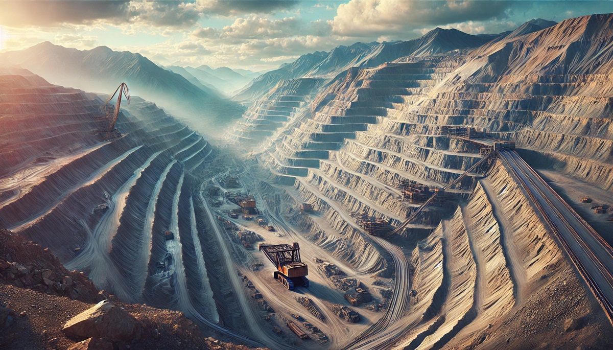
The Bingham Canyon Mine in Utah, USA, is the world’s largest man-made excavation and deepest open-pit mine, descending over 3,000 feet. This massive copper quarry spans nearly 2.5 miles wide, producing vast quantities of copper, gold, and silver. Operating since 1906, it has yielded more metal than any other mine in history. Visitors marvel at its sheer scale from observation points, and its environmental rehabilitation efforts are equally impressive.
#2: Mir Mine – 1,722 Feet Deep
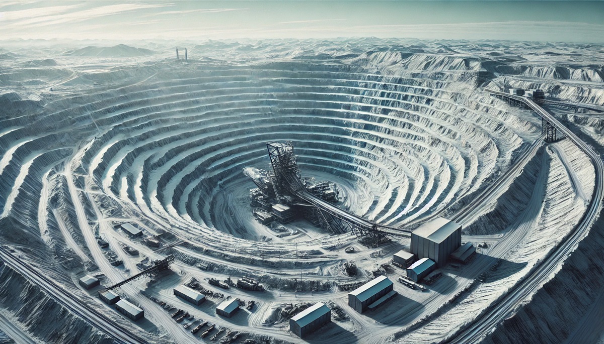
Located in Siberia, Russia, the Mir Mine is one of the largest diamond mines in the world, with a depth of 1,722 feet and a diameter of 3,900 feet. Established in 1957, it played a critical role in the Soviet Union’s diamond production. The vast pit is surrounded by stories of innovation, including its use of aircraft to transport materials across remote landscapes. Though no longer active, it remains a visual and historical marvel.
#3: Grasberg Mine – Over 1,000 Acres
Situated in Papua, Indonesia, the Grasberg Mine is the largest gold mine and the second-largest copper mine in the world. Spanning over 1,000 acres, it sits at a high elevation in the remote mountains. This quarry is notable for its challenging logistics, with steep terrain and extreme weather. Its history is steeped in technological triumphs, as well as environmental and cultural complexities.
#4: Escondida Mine – Over 1,200 Acres
ocated in the Atacama Desert of Chile, the Escondida Mine is the world’s largest copper mine by production. Covering more than 1,200 acres, it is a critical component of Chile’s economy. The arid environment presents unique challenges for water management, leading to innovative desalination projects. Anecdotes of its discovery highlight the role of geological surveys in revealing vast mineral wealth beneath seemingly barren land.
#5: Kiruna Mine – Over 2,000 Feet Deep
Kiruna Mine in Sweden is the largest underground iron ore mine globally, stretching over 2,000 feet deep. Operating since the late 19th century, it supplies high-quality iron ore for steel production worldwide. The mine’s impact extends to the nearby town of Kiruna, which is being relocated due to ground subsidence caused by mining. This monumental urban move is a confirmation to the mine’s importance.
#6: Mount Whaleback Mine – Over 3 Miles Long
Australia’s Mount Whaleback Mine in Western Australia is the largest open-pit iron ore mine in the world, spanning over 3 miles in length. It has been a cornerstone of the nation’s mining industry since its opening in 1968. The sheer scale of operations is a marvel, with massive haul trucks and equipment dotting the landscape.
#7: Chuquicamata Mine – Over 3,000 Feet Deep
Chuquicamata, or “Chuqui,” in northern Chile, is one of the largest open-pit copper mines, descending over 3,000 feet. It has been a centerpiece of copper production since its establishment in 1910. The mine is also steeped in historical significance, symbolizing Chile’s position as a global leader in copper exports.
#8: Garzweiler Quarry – Over 18,000 Acres
The Garzweiler Quarry in Germany is a massive open-cast lignite coal mine, spanning over 18,000 acres. It is a striking example of modern resource extraction, with entire villages relocated to make way for its expansion. The quarry’s size and impact have sparked debates about energy and environmental sustainability.
#9: Rössing Uranium Mine – Over 2,000 Acres
Namibia’s Rössing Uranium Mine is one of the largest uranium mines in the world, covering over 2,000 acres. Operating since 1976, it has supplied uranium for nuclear power plants globally. Its location in the Namib Desert presents unique operational challenges, including managing water scarcity and extreme heat.
#10: Thornton Quarry – Over 500 Acres
Thornton Quarry in Illinois, USA, is one of the largest aggregate quarries in the world, spanning over 500 acres. Known for its limestone production, the quarry has been an essential resource for construction materials. It is also geologically significant, revealing fossils that date back hundreds of millions of years.
The largest quarries in the world are more than industrial sites; they are dynamic landscapes that blend human ambition with natural resources. From the depths of the Bingham Canyon Mine to the vastness of Garzweiler Quarry, these quarries showcase engineering marvels, economic importance, and the intricate relationship between humanity and the Earth. Protecting their legacies and addressing their environmental impacts ensures they continue to inspire and provide for generations to come.
More Great Top 10’s
Quarries and Maps
Learn more about Maps
- Topographical Maps: Representation of the physical features of a region or area.
- Contour Maps: Representation of the contours of the land surface or ocean floor.
- Raised Relief Maps: Representation of land elevations with raised features indicating landforms.
- Terrain Maps: Representation of the physical features of a terrain or landmass.
- USGS Topographic Maps: Representation of topographic features and land elevations based on USGS data.
- USGS Historical Topographic Maps: Representation of historical topographic maps created by the USGS.
- Watershed Maps: Representation of the areas where water flows into a particular river or lake.
- Elevation Maps: Representation of land and water elevations with high precision.
- Physical Maps: Representation of physical features of the Earth’s surface such as landforms, oceans, and plateaus.
- Bathymetric Maps: Representation of the topography and features of the ocean floor.
- NOAA Maps: Representation of atmospheric, oceanographic, and environmental data by NOAA.
- Nautical Maps: Representation of the underwater features and depth of an area for navigation purposes.
- Geologic Maps: Representation of the geologic features of an area such as rock types, faults, and folds.
- Satellite Maps: Representation of earth from high-definition satellite imagery.
Contact us today to learn more about our services and how we can help you achieve your goals.


