Top 10 Largest River Basins in the World
Top 10 Largest River Basins in the World
WhiteClouds builds 3D Raised Relief Maps
The Earth’s surface is marked by immense river basins, which serve as the lifeblood for ecosystems, cultures, and economies. These basins, sprawling across continents, collect water from vast regions and channel it into some of the world’s largest rivers. Each basin tells a unique story, shaped by natural forces and human history. This list explores the ten largest basins in the world, highlighting their size, significance, fascinating facts, and rich histories.
#1: Amazon Basin – 2.7 Million Square Miles
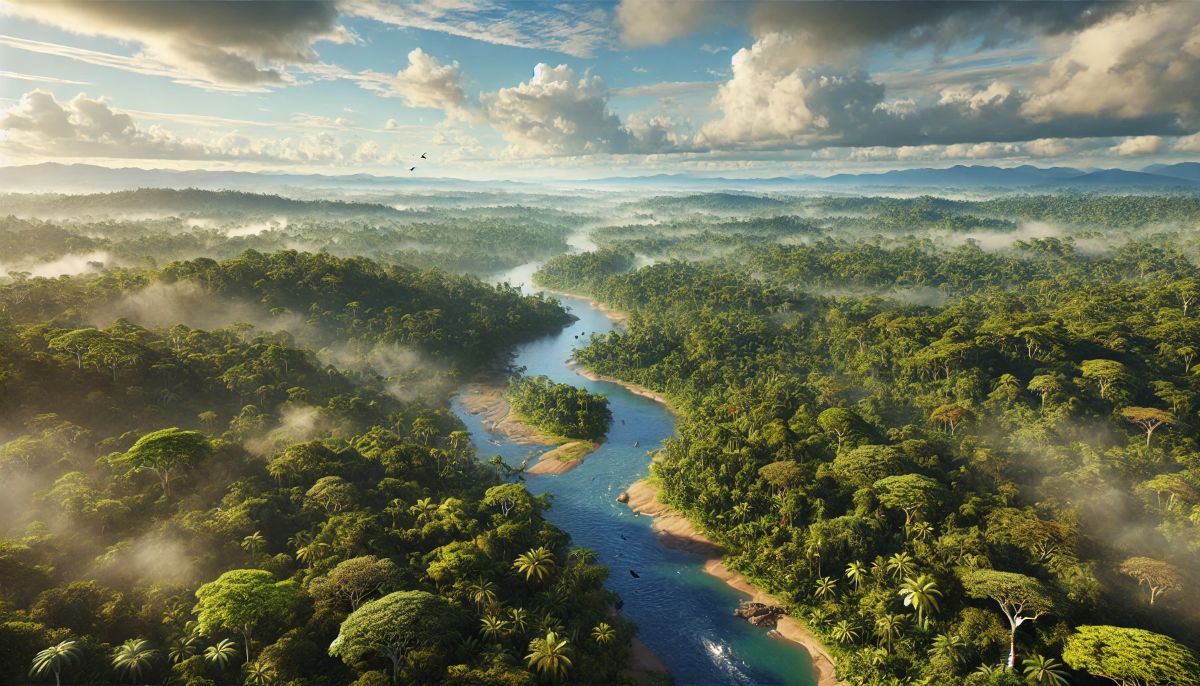
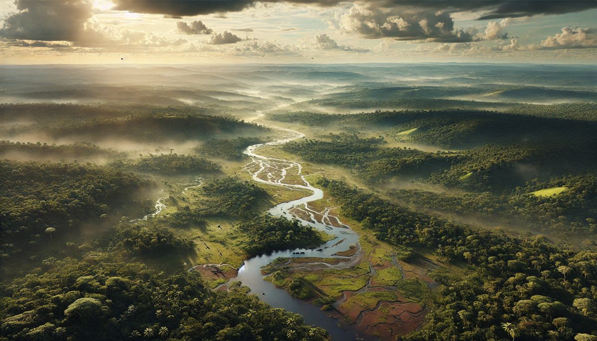
The Amazon Basin is the largest basin in the world, covering an astounding 2.7 million square miles across nine South American countries, including Brazil, Peru, and Colombia. This basin feeds the Amazon River, the second-longest river on Earth. The basin’s vastness sustains the Amazon rainforest, often referred to as the “lungs of the planet” due to its role in producing oxygen and absorbing carbon dioxide.
The region is home to unparalleled biodiversity, hosting more species of plants and animals than any other place on Earth. Among its fascinating inhabitants are pink river dolphins and the elusive jaguar. Indigenous communities have thrived here for millennia, relying on the forest and rivers for sustenance. Anecdotal tales include those of 16th-century explorers like Francisco de Orellana, who encountered the Amazon’s fierce native warriors, inspiring the river’s mythic name.
The basin’s history is one of adaptation and resilience. Its ancient civilizations built thriving cultures despite the challenging environment. Today, deforestation poses a significant threat, sparking global conservation efforts to preserve this unparalleled natural wonder.
#2: Congo Basin – 1.5 Million Square Miles
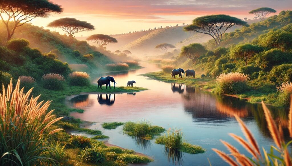
The Congo Basin, spanning 1.5 million square miles, is the second-largest basin globally. It flows through Central Africa, primarily within the Democratic Republic of Congo, and feeds the mighty Congo River. This region is also home to the world’s second-largest rainforest, a critical resource for the planet’s climate regulation.
A unique fact about the Congo Basin is its network of swamp forests, some of which store massive amounts of peat, making it a crucial carbon sink. Local lore often revolves around the Mokele-Mbembe, a legendary dinosaur-like creature said to inhabit its waters. The basin’s history is rich with the cultural legacies of its diverse ethnic groups, who have developed intricate knowledge of the land and rivers. European explorers, like Henry Morton Stanley, faced immense challenges navigating its depths during the 19th century.
#3: Nile Basin – 1.26 Million Square Miles
The Nile Basin stretches across 1.26 million square miles and supports the world’s longest river, the Nile. Flowing through eleven countries in northeastern Africa, the basin is a cornerstone of ancient and modern civilizations. It nurtured the rise of the Egyptian Empire, whose pyramids and temples remain iconic symbols of human achievement.
The basin’s waters originate from the Blue Nile in Ethiopia and the White Nile in Uganda and South Sudan, converging at Khartoum. Ancient stories attribute divine origins to the Nile’s yearly floods, which sustained agriculture for thousands of years. Modern developments, like the Grand Ethiopian Renaissance Dam, have sparked debates about water rights, highlighting the basin’s enduring significance.
#4: Mississippi-Missouri Basin – 1.24 Million Square Miles
Spanning 1.24 million square miles, the Mississippi-Missouri Basin is North America’s largest drainage system. Its rivers have sculpted vast plains and supported agriculture, transportation, and settlements for centuries. The basin’s cultural imprint is immense, inspiring literature such as Mark Twain’s “The Adventures of Huckleberry Finn.”
Interestingly, the Mississippi-Missouri system reversed its flow temporarily in 1811 due to the New Madrid earthquake. Its historical significance includes its role in Native American trade networks and westward expansion during the 19th century.
#5: Ob-Irtysh Basin – 1.15 Million Square Miles
The Ob-Irtysh Basin spans 1.15 million square miles across Russia and Kazakhstan, feeding the Ob River, one of Siberia’s longest rivers. This basin is a vital resource for oil and gas industries in the region, though its remote location makes it less studied compared to others.
#6: Paraná Basin – 1.1 Million Square Miles
The Paraná Basin in South America, covering 1.1 million square miles, supports vital agricultural regions in Brazil, Argentina, and Paraguay. Its Iguazu Falls, one of the world’s largest waterfalls, draws millions of visitors annually.
#7: Yenisei-Angara Basin – 976,000 Square Miles
The Yenisei Basin is Siberia’s lifeline, spanning 976,000 square miles. It boasts one of the world’s largest hydroelectric dams, the Krasnoyarsk Dam, and an ecosystem that has withstood harsh climates for millennia.
#8: Lena Basin – 961,000 Square Miles
The Lena Basin, covering 961,000 square miles in eastern Russia, is a pristine Arctic watershed. Its river delta is a UNESCO World Heritage Site, supporting diverse wildlife despite its extreme conditions.
#9: Niger Basin – 817,000 Square Miles
The Niger Basin is a lifeblood for West Africa, stretching 817,000 square miles. The Niger River’s unusual boomerang shape and the ancient city of Timbuktu within its bounds add to its mystique.
#10: Mekong Basin – 307,000 Square Miles
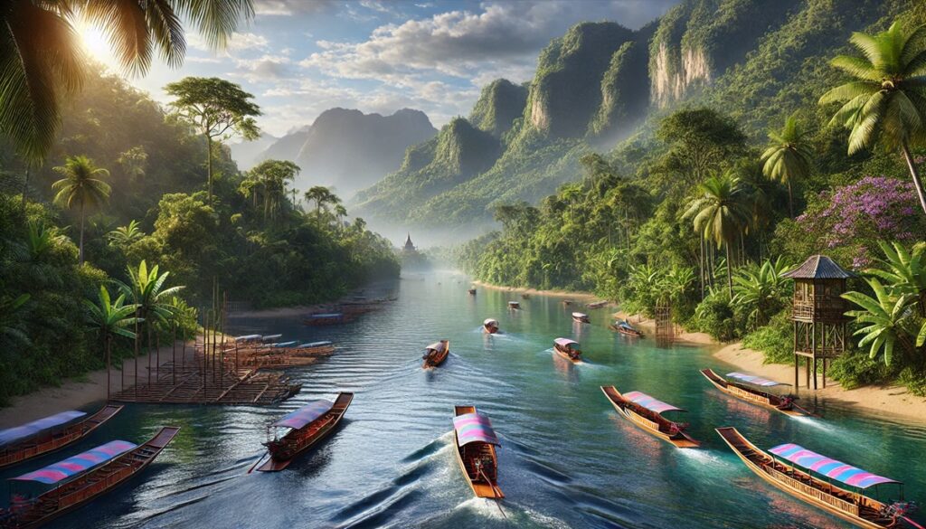
The Mekong Basin supports millions across Southeast Asia, covering 307,000 square miles. Its seasonal floods create fertile lands vital for rice production, a staple for the region’s population.
These ten basins exemplify the planet’s natural grandeur and its capacity to sustain life and culture. Each basin is a confirmation to nature’s power, showcasing a mix of historical importance, ecological significance, and awe-inspiring landscapes. As the world faces environmental challenges, the preservation of these vital watersheds is more crucial than ever.


