Top 10 Largest Sand Dunes in the United States
Top 10 Largest Sand Dunes in the United States
WhiteClouds builds 3D Raised Relief Maps
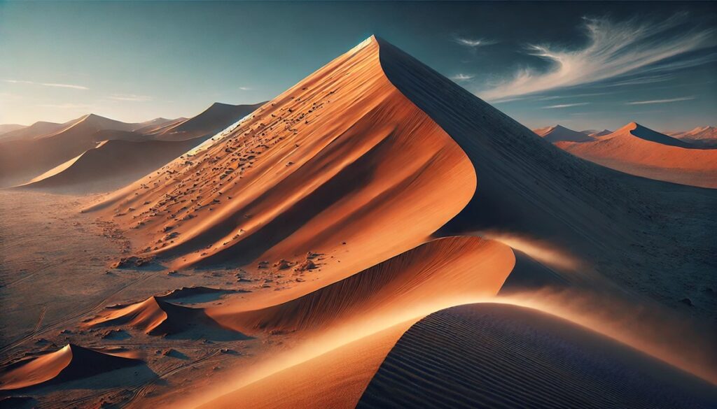
Sand dunes are some of the most striking and dynamic landscapes on Earth, shaped by wind and time into vast, sculptural formations. The United States is home to some of the largest and most breathtaking sand dunes in the world, each with unique characteristics, fascinating histories, and awe-inspiring beauty. These dunes offer a glimpse into the geological processes that created them and provide a playground for adventurers and photographers alike. Here’s a look at the top 10 largest sand dunes in the United States, ranked by size and towering above their surroundings.
#1: Great Sand Dunes – Height: Up to 750 Feet
The Great Sand Dunes in Colorado are the tallest dunes in North America, with the highest reaching a staggering 750 feet. Spanning over 30 square miles, they are nestled against the Sangre de Cristo Mountains, creating a stunning contrast between the golden sands and rugged peaks. These dunes were formed by the action of wind blowing across the San Luis Valley for thousands of years.
Rich in history, the Great Sand Dunes have long been revered by Native American tribes, including the Utes, who considered them sacred. Visitors today marvel at their beauty and often hike to the top for panoramic views. An interesting fact is the presence of Medano Creek, a seasonal stream that flows at the base of the dunes, offering a rare opportunity for sandboarding and splashing in the same location.
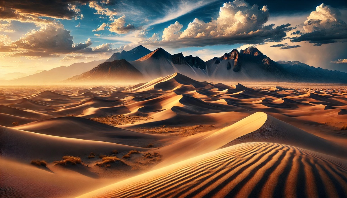
#2: Mesquite Flat Sand Dunes – Height: Up to 140 Feet
Located in Death Valley National Park, California, the Mesquite Flat Sand Dunes cover a vast area and reach heights of up to 140 feet. These dunes are known for their iconic crescent shapes and rippled surfaces, created by shifting winds. Despite their relatively modest height, they are among the most accessible and photographed dunes in the United States.
Anecdotes abound of explorers navigating these dunes in the blistering desert heat, often losing their way due to the lack of landmarks. The area is also popular for stargazing, as Death Valley boasts some of the darkest night skies in the country. Interestingly, the dunes are home to unique desert wildlife, including kangaroo rats and sidewinder rattlesnakes.
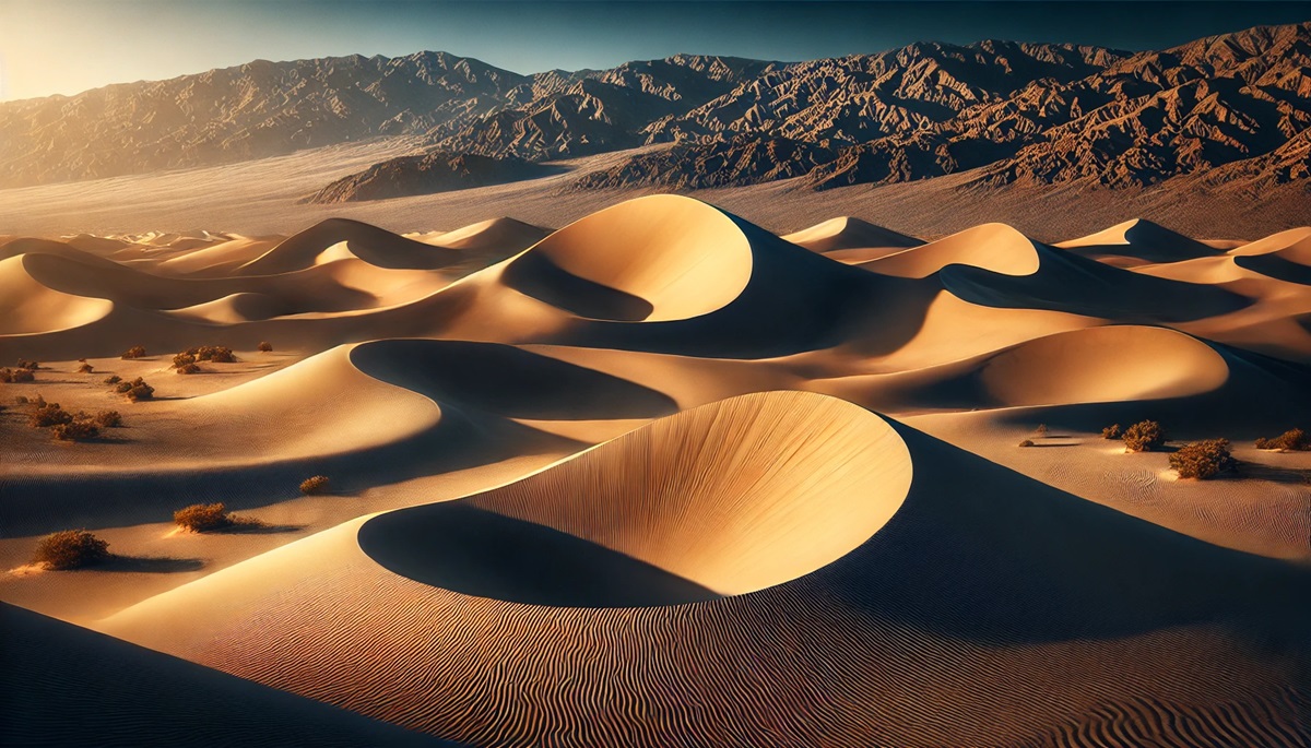
#3: Eureka Dunes – Height: Up to 680 Feet
Also located in Death Valley National Park, the Eureka Dunes are some of the tallest in California, towering up to 680 feet. These dunes are known for their “singing sands,” a phenomenon where the sand produces a low humming sound when disturbed, especially during avalanches.
The Eureka Dunes are part of a remote and fragile ecosystem, harboring rare plant species such as the Eureka Valley evening primrose. Stories of early prospectors stumbling upon these massive dunes add an air of mystery to their allure. Hiking to the summit offers stunning views of the surrounding desert and distant mountain ranges.
#4: Oregon Dunes – Height: Up to 500 Feet
Stretching along the Oregon coast for over 40 miles, the Oregon Dunes are the largest expanse of coastal sand dunes in North America. With some dunes reaching heights of 500 feet, they are a dynamic landscape shaped by ocean winds and tides.
The dunes have inspired countless tales, including being the inspiration for Frank Herbert’s science fiction epic Dune. Visitors enjoy activities such as dune buggy riding, hiking, and wildlife watching, particularly for the snowy plovers that inhabit the area. The shifting sands are a reminder of the constant interplay between land and sea.
#5: Kelso Dunes – Height: Up to 650 Feet
Located in the Mojave National Preserve, California, the Kelso Dunes rise up to 650 feet and cover an area of 45 square miles. These massive dunes are known for their booming sands, a rare acoustic phenomenon similar to that of the Eureka Dunes.
The Kelso Dunes are steeped in history, with tales of travelers crossing the Mojave Desert using these towering dunes as a navigational landmark. Today, the area is a popular destination for hikers who are rewarded with spectacular views of the desert landscape after a challenging climb to the summit.
#6: Coral Pink Sand Dunes – Height: Up to 200 Feet
Situated in Utah, the Coral Pink Sand Dunes cover approximately 3,000 acres and are named for their striking pinkish hue, caused by the erosion of nearby Navajo sandstone cliffs. The dunes reach heights of up to 200 feet, offering a unique and colorful landscape.
Local legends speak of ancient travelers finding refuge in these dunes during sandstorms. Today, the area is a popular destination for off-road vehicle enthusiasts and photographers captivated by the ever-changing patterns of the dunes.
#7: Little Sahara Sand Dunes – Height: Up to 700 Feet
The Little Sahara Sand Dunes in Utah span over 60,000 acres and feature dunes as high as 700 feet. These massive dunes are the result of sand deposits left behind by an ancient lake that once covered the region.
Stories from early pioneers describe the area as an endless sea of sand, which made it both beautiful and treacherous to navigate. Today, it’s a hotspot for off-roading, camping, and hiking, drawing adventurers from across the country.
#8: Bruneau Sand Dunes – Height: Up to 470 Feet
Located in Idaho, the Bruneau Sand Dunes are the tallest single-structured dunes in North America, rising to 470 feet. These dunes are unique because they were formed by wind patterns that trapped sand in a natural basin.
An observatory at the site allows visitors to enjoy stargazing in addition to hiking and sandboarding. Anecdotes of early settlers using the dunes as vantage points add to their historical charm.
#9: White Sands National Park – Height: Up to 60 Feet
White Sands National Park in New Mexico features gypsum sand dunes, which give the area its dazzling white appearance. Though not as tall as some others on this list, reaching only up to 60 feet, they cover a vast area of 275 square miles.
The history of White Sands includes its use as a site for military testing during World War II, adding a layer of intrigue to its natural beauty. Visitors can enjoy sledding down the dunes and exploring the surreal landscape.
#10: Imperial Sand Dunes – Height: Up to 300 Feet
Stretching over 40 miles in Southern California, the Imperial Sand Dunes rise to heights of 300 feet. These dunes are part of the Algodones Dunes system and have served as a filming location for movies such as Star Wars: Return of the Jedi.
The area is a favorite for off-road enthusiasts, who flock to the dunes to test their skills on the towering sand hills. The Imperial Sand Dunes are a confirmation to the raw, untamed beauty of the desert.
The largest sand dunes in the United States are remarkable natural wonders that showcase the diverse landscapes of the country. Each dune has its own story, shaped by geological forces, historical events, and cultural significance. From the towering peaks of the Great Sand Dunes in Colorado to the vibrant gypsum sands of White Sands National Park, these landscapes invite exploration, adventure, and admiration for the power of nature.
More Great Top 10’s
Sand Dunes and Maps
Learn more about Maps
- Topographical Maps: Representation of the physical features of a region or area.
- Contour Maps: Representation of the contours of the land surface or ocean floor.
- Raised Relief Maps: Representation of land elevations with raised features indicating landforms.
- Terrain Maps: Representation of the physical features of a terrain or landmass.
- USGS Topographic Maps: Representation of topographic features and land elevations based on USGS data.
- USGS Historical Topographic Maps: Representation of historical topographic maps created by the USGS.
- Watershed Maps: Representation of the areas where water flows into a particular river or lake.
- Elevation Maps: Representation of land and water elevations with high precision.
- Physical Maps: Representation of physical features of the Earth’s surface such as landforms, oceans, and plateaus.
- Bathymetric Maps: Representation of the topography and features of the ocean floor.
- NOAA Maps: Representation of atmospheric, oceanographic, and environmental data by NOAA.
- Nautical Maps: Representation of the underwater features and depth of an area for navigation purposes.
- Geologic Maps: Representation of the geologic features of an area such as rock types, faults, and folds.
- Satellite Maps: Representation of earth from high-definition satellite imagery.
Contact us today to learn more about our services and how we can help you achieve your goals.


