Top 10 Largest States in the United States
Top 10 Largest States in the United States
WhiteClouds builds 3D Raised Relief Maps
The United States is a land of remarkable diversity, and its largest states are vast territories that showcase the beauty, history, and culture of the country. From the icy wilderness of Alaska to the sun-soaked plains of Texas, these states encompass a variety of landscapes and stories that are as large as their borders. Here are the top 10 largest states in the U.S., ranked by their size, each with unique features and fascinating histories.
#1: Alaska – 663,300 square miles
Alaska is by far the largest state in the United States, covering an incredible 663,300 square miles—nearly one-fifth of the entire country. Known as “The Last Frontier,” Alaska boasts rugged mountains, sprawling tundra, and countless glaciers. Its natural beauty is complemented by vast reserves of wildlife, including grizzly bears, moose, and bald eagles. Alaska’s size means that it’s larger than the next three largest states combined.
Purchased from Russia in 1867 for $7.2 million, the deal was initially mocked as “Seward’s Folly.” However, Alaska’s immense natural resources, including gold, oil, and seafood, have proven it to be one of the most valuable acquisitions in U.S. history. Tales of the Klondike Gold Rush and the Iditarod Sled Dog Race add to Alaska’s adventurous allure. Its remote beauty continues to captivate explorers and travelers worldwide.

#2: Texas – 268,600 square miles
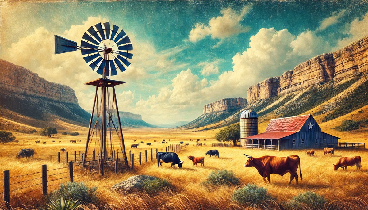
Texas, the Lone Star State, is the second-largest state in the U.S., spanning 268,600 square miles. Known for its independent spirit and diverse landscapes, Texas features everything from rolling plains and deserts to lush forests and coastal marshes. The state’s size is often emphasized with the saying, “Everything is bigger in Texas.”
Texas has a rich history as an independent republic before joining the United States in 1845. It played a pivotal role in the cattle industry and the oil boom, earning nicknames like “The Beef State” and “The Oil State.” Stories of the Alamo and the cowboy lifestyle continue to define its cultural identity. Today, Texas is a hub for agriculture, technology, and energy, making it a dynamic blend of tradition and innovation.
#3: California – 163,700 square miles
California, the Golden State, covers 163,700 square miles, making it the third-largest state in the U.S. Its landscape includes everything from the towering Sierra Nevada mountains to the arid Mojave Desert and the fertile Central Valley. California’s coastline stretches over 800 miles, offering some of the most scenic views in the world.
California’s history is rich with the Gold Rush of 1849, which attracted fortune seekers from around the globe. It’s also the birthplace of Silicon Valley, the epicenter of the tech industry. Anecdotes about Hollywood’s glitz and glamour, Napa Valley’s vineyards, and Yosemite National Park’s grandeur reflect California’s status as a land of opportunity and natural beauty.
#4: Montana – 147,000 square miles
Montana, known as “Big Sky Country,” is the fourth-largest state, covering 147,000 square miles. Its vast landscapes include the Rocky Mountains, expansive prairies, and Glacier National Park. The state’s nickname comes from its seemingly endless horizons, which create a sense of awe and freedom.
Montana’s history is steeped in the Old West, with tales of fur trappers, cowboys, and gold prospectors. The Battle of Little Bighorn, also known as Custer’s Last Stand, took place here, adding to its historical significance. Today, Montana is celebrated for its outdoor activities, including hiking, fishing, and skiing.
#5: New Mexico – 121,600 square miles
New Mexico, the Land of Enchantment, spans 121,600 square miles, making it the fifth-largest state. Known for its stunning desert landscapes, red rock formations, and vibrant cultural heritage, New Mexico is a blend of Native American, Hispanic, and Anglo influences.
The state’s history includes ancient Pueblo civilizations, Spanish colonization, and the development of the atomic bomb during World War II. Landmarks like Carlsbad Caverns and White Sands National Park attract visitors from around the world. Stories of alien sightings in Roswell and the beauty of Santa Fe’s art scene add to its mystique.
#6: Arizona – 113,990 square miles
Arizona, covering 113,990 square miles, is home to the Grand Canyon, one of the Seven Natural Wonders of the World. The state’s landscape includes deserts, mountains, and pine forests, making it a land of contrasts.
Arizona’s history includes Native American cultures, Spanish explorers, and the Wild West. Its vibrant cities like Phoenix and Tucson, along with its natural wonders, make it a unique and dynamic state. Tales of gold mines and ancient ruins add to its allure.
#7: Nevada – 110,570 square miles
Nevada, known as the Silver State, spans 110,570 square miles and is famous for its deserts, mountains, and vibrant cities like Las Vegas and Reno. The state’s history is tied to the Comstock Lode, one of the richest silver discoveries in history.
Nevada’s stark desert beauty contrasts with its bustling urban centers, creating a unique charm. Stories of the Wild West, Area 51, and the rise of Las Vegas as a gambling mecca make it a fascinating state.
#8: Colorado – 104,100 square miles
Colorado, covering 104,100 square miles, is known for its majestic Rocky Mountains and outdoor recreational opportunities. The state’s history includes the Pike’s Peak Gold Rush and the development of its ski industry.
Colorado’s vibrant cities, like Denver and Boulder, along with its stunning national parks, make it a favorite destination for adventurers and nature lovers. Tales of mining towns and ghost stories add to its rich heritage.
#9: Oregon – 98,380 square miles
Oregon spans 98,380 square miles and is known for its diverse landscapes, including forests, mountains, and coastal cliffs. The state’s history is tied to the Oregon Trail and westward expansion.
From Crater Lake National Park to the Columbia River Gorge, Oregon offers natural beauty and cultural vibrancy. Its pioneering spirit continues to thrive in cities like Portland.
#10: Wyoming – 97,810 square miles
Wyoming, the Equality State, covers 97,810 square miles and is known for its open spaces and iconic landmarks like Yellowstone National Park. The state’s history includes tales of Native American tribes, cowboys, and conservation pioneers.
Wyoming’s rugged beauty and small population make it a haven for outdoor enthusiasts. Stories of Old West towns and majestic wildlife add to its charm.
The largest states in the United States are as diverse as they are vast, each offering a unique blend of history, culture, and natural beauty. From Alaska’s icy peaks to Wyoming’s open plains, these states remind us of the incredible scale and variety of the American landscape. They are more than just places on a map; they are stories waiting to be discovered.
More Great Top 10’s
States and Maps
Learn more about Maps
- Topographical Maps: Representation of the physical features of a region or area.
- Contour Maps: Representation of the contours of the land surface or ocean floor.
- Raised Relief Maps: Representation of land elevations with raised features indicating landforms.
- Terrain Maps: Representation of the physical features of a terrain or landmass.
- USGS Topographic Maps: Representation of topographic features and land elevations based on USGS data.
- USGS Historical Topographic Maps: Representation of historical topographic maps created by the USGS.
- Watershed Maps: Representation of the areas where water flows into a particular river or lake.
- Elevation Maps: Representation of land and water elevations with high precision.
- Physical Maps: Representation of physical features of the Earth’s surface such as landforms, oceans, and plateaus.
- Bathymetric Maps: Representation of the topography and features of the ocean floor.
- NOAA Maps: Representation of atmospheric, oceanographic, and environmental data by NOAA.
- Nautical Maps: Representation of the underwater features and depth of an area for navigation purposes.
- Geologic Maps: Representation of the geologic features of an area such as rock types, faults, and folds.
- Satellite Maps: Representation of earth from high-definition satellite imagery.
Contact us today to learn more about our services and how we can help you achieve your goals.

