Top 10 Largest Volcanoes in the United States
Top 10 Largest Volcanoes in the United States
WhiteClouds builds 3D Raised Relief Maps
The United States is home to some of the most massive and fascinating volcanoes in the world. From towering peaks to sprawling shield volcanoes, these geological giants have shaped the landscape and hold a wealth of natural beauty, history, and cultural significance. Each volcano tells a story of fiery eruptions, tectonic forces, and the resilience of ecosystems that thrive in their shadows. Here are the top 10 largest volcanoes in the United States, ranked by their size and geological impact.
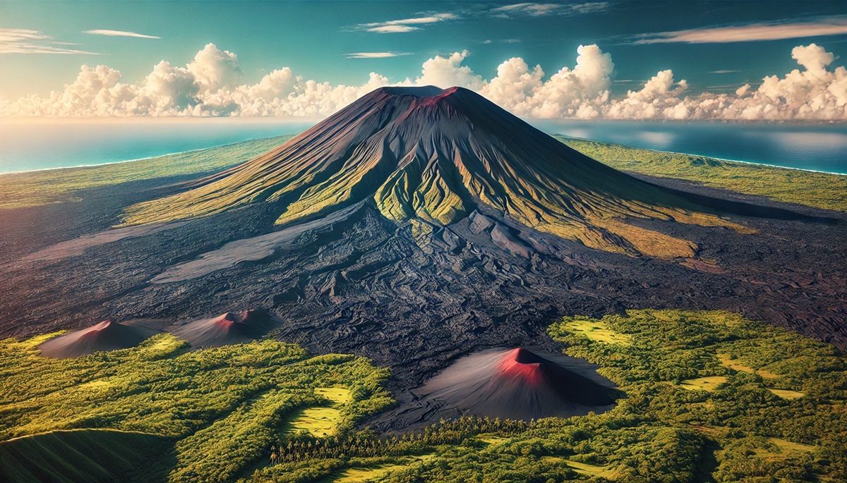
#1: Mauna Loa – Height: 13,681 Feet (33,500 Feet from Base to Summit)
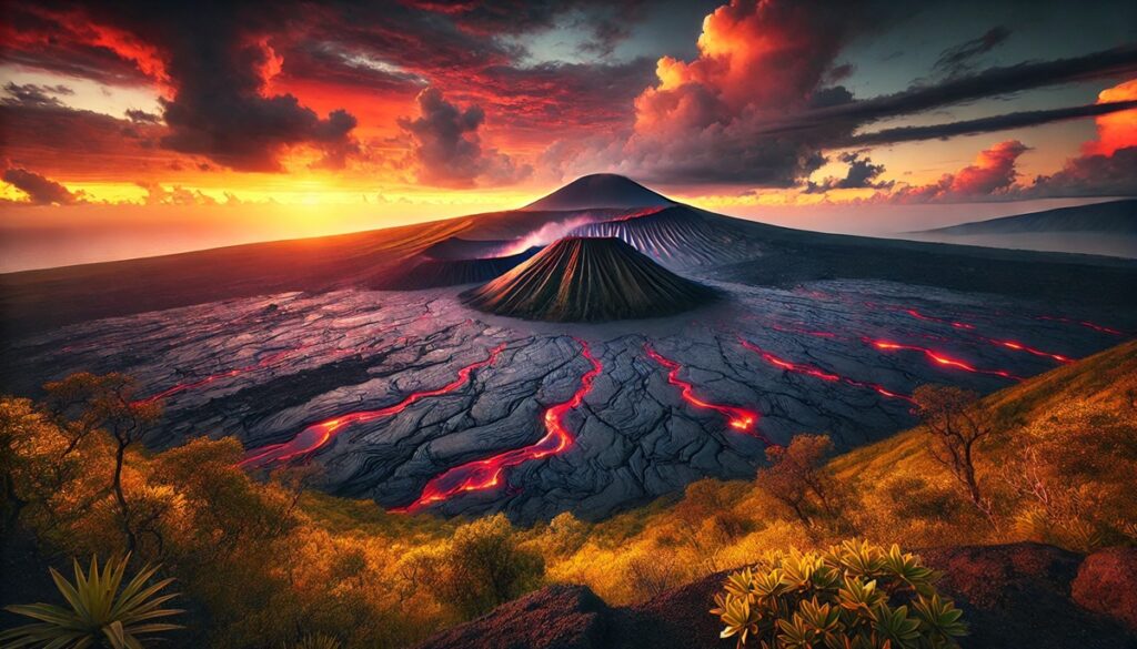
Mauna Loa, located on the Big Island of Hawaii, is the largest volcano on Earth by volume. Towering 13,681 feet above sea level and over 33,500 feet from its base on the ocean floor, it covers approximately 5,271 square miles. This shield volcano is characterized by its broad, gently sloping profile and frequent eruptions, with the most recent occurring in 2022.
Mauna Loa has been a source of awe for centuries, revered in Hawaiian culture as a sacred place. Its eruptions have shaped the Big Island, creating new land and unique ecosystems. Anecdotes from early explorers and native Hawaiians highlight its fiery history, with lava flows reaching the sea and altering the coastline. Visitors can explore its upper slopes in Hawaii Volcanoes National Park, where the dramatic landscapes are a confirmation to its volcanic power.
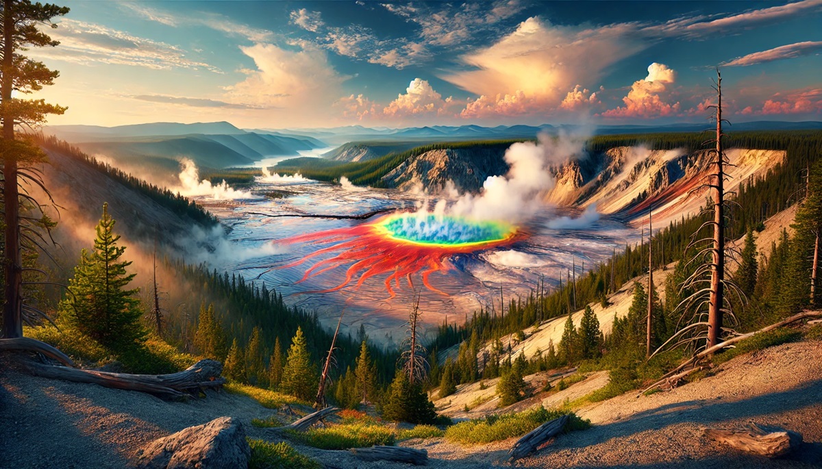
#2: Yellowstone Caldera – Height: Approximately 8,000 Feet
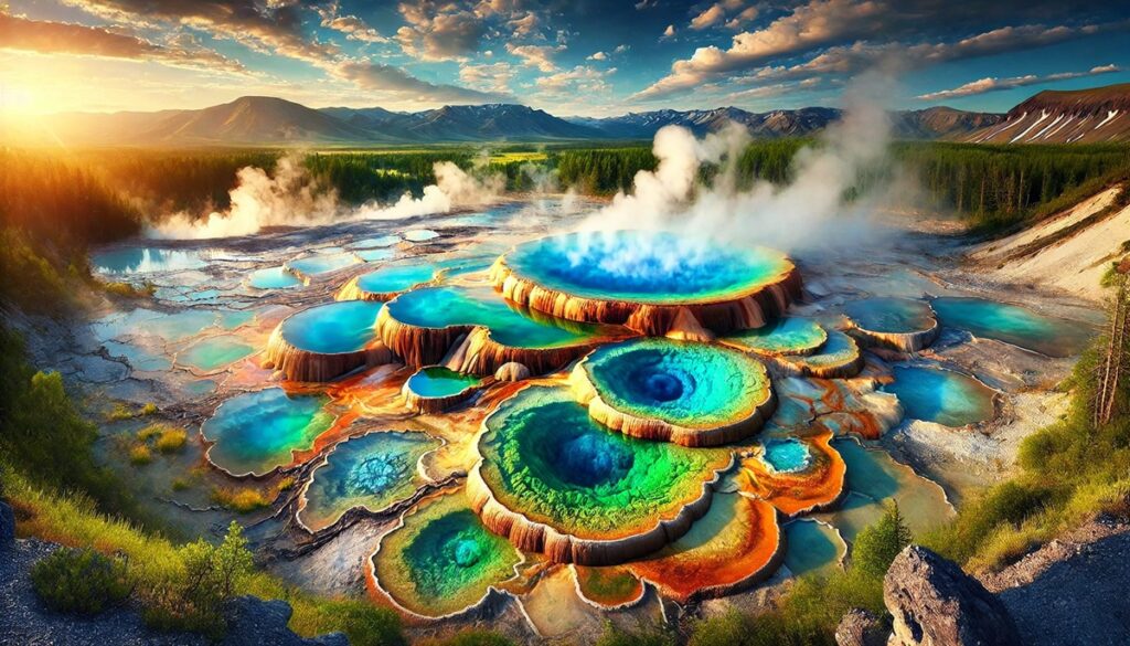
The Yellowstone Caldera, located in Wyoming, Montana, and Idaho, is one of the largest volcanic systems in the world. While not a towering peak, its massive caldera spans 30 miles, formed by a supervolcanic eruption 640,000 years ago. The caldera’s geothermal features, including geysers like Old Faithful and colorful hot springs, are world-renowned.
Yellowstone’s supervolcano has erupted three times in the past 2.1 million years, with each eruption altering the planet’s climate. Anecdotal stories from early explorers describe the surreal landscapes of boiling mud pots and erupting geysers. Today, Yellowstone National Park attracts millions of visitors annually, drawn to its unique beauty and the ever-present reminder of Earth’s volatile nature.
#3: Mount Shasta – Height: 14,179 Feet
Located in Northern California, Mount Shasta is a towering stratovolcano and one of the highest peaks in the Cascade Range. Its imposing silhouette dominates the surrounding landscape, inspiring awe and spiritual reverence.
Mount Shasta’s history is steeped in Native American legends, often considered a sacred place of creation. Stories of climbers scaling its icy slopes add to its mystique. Although its last eruption was over 200 years ago, the volcano is still considered potentially active. Its forests, alpine meadows, and glaciers make it a favorite destination for adventurers and nature enthusiasts.
#4: Mount Rainier – Height: 14,411 Feet
Mount Rainier, located in Washington, is the highest peak in the Cascade Range and a stratovolcano with extensive glacial coverage. Its massive presence is visible from Seattle on clear days, earning it iconic status.
Rainier’s eruptions, the most recent of which occurred over 1,000 years ago, have created a landscape of lava flows and lahar deposits. Anecdotes from early mountaineers describe the challenges of navigating its treacherous crevasses. Today, it remains a popular destination for climbers, hikers, and photographers, with Mount Rainier National Park preserving its pristine beauty.
#5: Kilauea – Height: 4,091 Feet
Kilauea, also on Hawaii’s Big Island, is one of the most active volcanoes on Earth. It has been erupting almost continuously from 1983 to 2018 and resumed activity in 2020. Despite its relatively low height, its widespread lava flows have reshaped the island.
Hawaiian mythology considers Kilauea the home of Pele, the goddess of fire. Visitors to Hawaii Volcanoes National Park can witness the dramatic glow of lava in Halemaʻumaʻu Crater. Its activity has captivated scientists and tourists alike, offering a glimpse into Earth’s inner workings.
#6: Mount St. Helens – Height: 8,366 Feet
Mount St. Helens in Washington is infamous for its catastrophic eruption in 1980, which reduced its summit from 9,677 feet to 8,366 feet. This stratovolcano remains a symbol of nature’s destructive and regenerative power.
The 1980 eruption created a massive crater and a landscape of devastation, later giving way to ecological recovery. Stories from survivors and scientists studying the eruption have made it a case study in volcanology. Today, visitors can hike the trails around the volcano and marvel at its rebirth.
#7: Lassen Peak – Height: 10,457 Feet
Lassen Peak, located in California, is the southernmost active volcano in the Cascade Range. Its last eruption, from 1914 to 1921, left a lasting impact on the surrounding landscape, now preserved within Lassen Volcanic National Park.
Anecdotal stories of early settlers witnessing the eruptions provide a glimpse into its dramatic activity. Today, Lassen’s steaming fumaroles and volcanic domes attract hikers and geology enthusiasts seeking a closer look at this remarkable peak.
#8: Mauna Kea – Height: 13,803 Feet (33,500 Feet from Base to Summit)
Mauna Kea, another massive volcano on the Big Island of Hawaii, is technically taller than Mount Everest when measured from its base on the ocean floor. Its summit is home to world-class astronomical observatories, taking advantage of its clear skies.
Mauna Kea holds cultural significance for Native Hawaiians, considered a sacred place where heaven and Earth meet. Its snow-capped summit and pristine beauty make it a unique destination for stargazers and adventurers alike.
#9: Crater Lake (Mount Mazama) – Height: 8,157 Feet
Mount Mazama in Oregon, once a towering stratovolcano, erupted over 7,000 years ago, forming the stunning Crater Lake. The lake is the deepest in the United States, with vibrant blue waters filling the caldera.
The eruption that created Crater Lake is the stuff of legends among Native American tribes. Today, it is a major attraction within Crater Lake National Park, where visitors can hike around the caldera and marvel at its beauty.
#10: Mount Hood – Height: 11,240 Feet
Mount Hood, located in Oregon, is a stratovolcano and the highest peak in the state. Its glaciers, alpine meadows, and rugged beauty make it a favorite for climbers and outdoor enthusiasts.
Mount Hood’s last major eruption occurred over 200 years ago, but it remains potentially active. Anecdotes from climbers recount the challenges of summiting its icy slopes. The mountain is also central to the region’s cultural and natural identity.
The largest volcanoes in the United States are not only geological marvels but also deeply woven into the fabric of the nation’s natural and cultural heritage. From the towering peaks of the Cascades to the sprawling shield volcanoes of Hawaii, these giants remind us of Earth’s dynamic forces and the beauty they create. Preserving these natural wonders ensures their stories and landscapes inspire generations to come.
More Great Top 10’s
Volcanoes and Maps
Learn more about Maps
- Topographical Maps: Representation of the physical features of a region or area.
- Contour Maps: Representation of the contours of the land surface or ocean floor.
- Raised Relief Maps: Representation of land elevations with raised features indicating landforms.
- Terrain Maps: Representation of the physical features of a terrain or landmass.
- USGS Topographic Maps: Representation of topographic features and land elevations based on USGS data.
- USGS Historical Topographic Maps: Representation of historical topographic maps created by the USGS.
- Watershed Maps: Representation of the areas where water flows into a particular river or lake.
- Elevation Maps: Representation of land and water elevations with high precision.
- Physical Maps: Representation of physical features of the Earth’s surface such as landforms, oceans, and plateaus.
- Bathymetric Maps: Representation of the topography and features of the ocean floor.
- NOAA Maps: Representation of atmospheric, oceanographic, and environmental data by NOAA.
- Nautical Maps: Representation of the underwater features and depth of an area for navigation purposes.
- Geologic Maps: Representation of the geologic features of an area such as rock types, faults, and folds.
- Satellite Maps: Representation of earth from high-definition satellite imagery.
Contact us today to learn more about our services and how we can help you achieve your goals.


