Top 10 Largest Volcanoes in the World
Top 10 Largest Volcanoes in the World
WhiteClouds builds 3D Raised Relief Maps
Volcanoes are among Earth’s most dramatic natural features, showcasing the planet’s raw power and incredible geological processes. These colossal landforms, shaped by millennia of eruptions, lava flows, and tectonic activity, dominate landscapes and capture the imagination of scientists and explorers alike. The largest volcanoes in the world are not only breathtaking in size but also rich in history, mystery, and cultural significance. From towering peaks to expansive shield volcanoes, these natural giants continue to inspire awe and curiosity. Below is a list of the top 10 largest volcanoes in the world, exploring their immense size, fascinating stories, and the impact they have on our understanding of the planet.
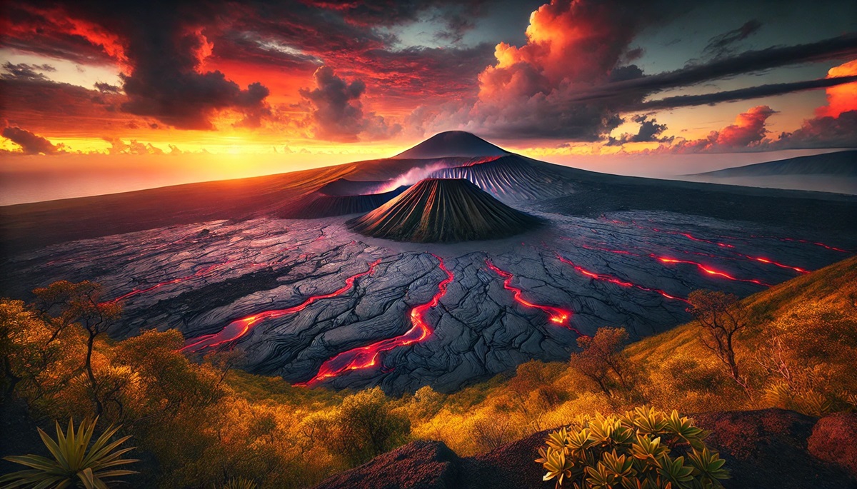
#1: Mauna Loa (13,681 feet above sea level, 33,500 feet from base)
Mauna Loa, located on the Big Island of Hawaii, is the largest volcano on Earth by volume, rising 33,500 feet from its base on the ocean floor. This massive shield volcano covers approximately 5,271 square miles, about half of the Big Island’s land area. Its gentle slopes are characteristic of shield volcanoes, formed by highly fluid lava that spreads over large distances. Mauna Loa’s name means “Long Mountain” in Hawaiian, a fitting description for its vast size.
Mauna Loa has erupted 33 times since its first recorded eruption in 1843, with its most recent eruption occurring in November 2022. These eruptions are usually non-explosive, producing lava flows that can travel great distances and pose risks to local communities. The volcano is monitored closely by scientists at the Hawaiian Volcano Observatory, who study its activity to better understand volcanic processes and mitigate hazards. Cultural significance also runs deep, as Mauna Loa is considered sacred in Hawaiian traditions, symbolizing the power of Pele, the goddess of fire and volcanoes.
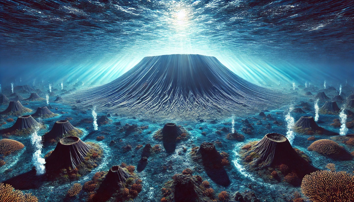
#2: Tamu Massif (13,123 feet)
Tamu Massif, an underwater shield volcano located in the northwest Pacific Ocean, is the largest single volcano on Earth by surface area. It spans over 120,000 square miles, making it comparable in size to the state of New Mexico. Discovered in 2013, Tamu Massif formed about 145 million years ago and is now considered extinct.
Unlike most volcanoes, Tamu Massif is entirely submerged, with its peak lying nearly 6,500 feet below the ocean’s surface. Its discovery transformed scientists’ understanding of underwater volcanism, revealing that oceanic plateaus could host volcanoes on a colossal scale. Tamu Massif remains a subject of fascination for geologists exploring the planet’s ancient volcanic activity.
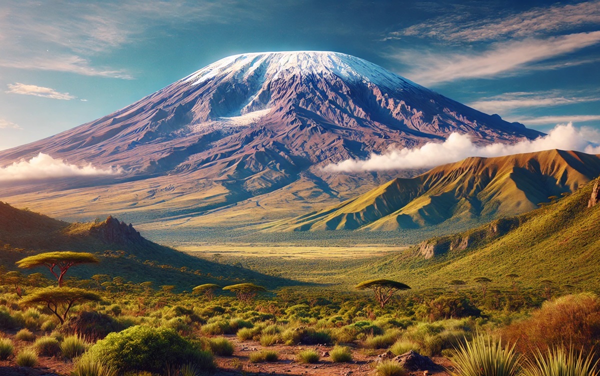
#3: Mount Kilimanjaro (19,341 feet)
Mount Kilimanjaro, in Tanzania, is the tallest free-standing mountain in the world and a dormant stratovolcano. Comprising three volcanic cones—Kibo, Mawenzi, and Shira—Kilimanjaro last erupted around 360,000 years ago, with Kibo still potentially active. Kilimanjaro’s snow-capped summit is iconic, towering above the African savannah.
The mountain has become a bucket-list destination for climbers and adventurers. It has inspired countless tales, including Ernest Hemingway’s famous short story The Snows of Kilimanjaro. However, its glaciers are rapidly retreating due to climate change, and scientists predict they may disappear entirely within a few decades, making Kilimanjaro a stark reminder of global warming’s impacts.
#4: Mount Fuji (12,388 feet)
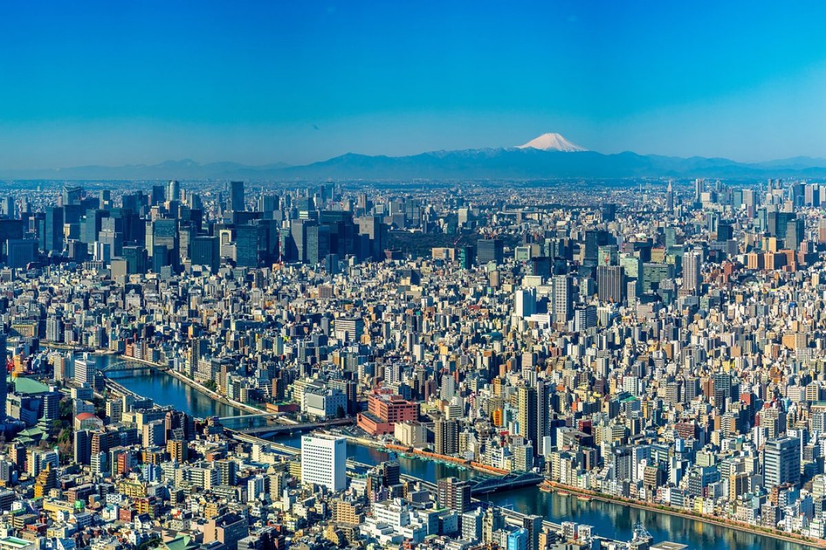
Mount Fuji, Japan’s highest peak, is an active stratovolcano and a symbol of the nation. Its nearly symmetrical cone is the result of thousands of years of eruptions, with its most recent eruption occurring in 1707. Fuji’s beauty has inspired countless works of art, including Hokusai’s iconic Thirty-Six Views of Mount Fuji.
Culturally, Fuji is revered as a sacred site in Shinto and Buddhist traditions. Every year, thousands of pilgrims and tourists climb its slopes to witness the sunrise, a phenomenon known as Goraiko. The volcano’s geological history and cultural significance make it a central feature of Japanese identity.
#5: Mount Etna (10,991 feet)
Mount Etna, located on the Italian island of Sicily, is Europe’s tallest active volcano and one of the most active in the world. Rising to 10,991 feet, its frequent eruptions have shaped the surrounding landscape and impacted local communities for millennia.
Etna’s activity dates back at least 500,000 years, and its eruptions have been documented since ancient times. Despite its fiery nature, the fertile volcanic soil supports extensive vineyards and orchards, earning Etna the nickname “The Friendly Giant.” The volcano is also a UNESCO World Heritage Site, attracting scientists and tourists alike.
#6: Mount Vesuvius (4,203 feet)
Mount Vesuvius, near Naples, Italy, is infamous for its catastrophic eruption in AD 79 that buried the Roman cities of Pompeii and Herculaneum under ash and pumice. While Vesuvius is relatively small at 4,203 feet, its history and potential for future eruptions make it one of the world’s most closely monitored volcanoes.
Vesuvius remains an active stratovolcano, with its last eruption occurring in 1944. Its looming presence is both a reminder of nature’s power and a draw for historians and tourists exploring the ruins of Pompeii and its surrounding areas.
#7: Mount Rainier (14,411 feet)
Mount Rainier, a stratovolcano in Washington State, is the tallest peak in the Cascade Range and a prominent feature of the Pacific Northwest. Its snow-covered summit and extensive glaciers make it a striking and potentially hazardous volcano, as lahars (volcanic mudflows) could threaten nearby communities in the event of an eruption.
Rainier last erupted in the 19th century, but it is considered an active volcano. The mountain is a popular destination for climbers, hikers, and skiers, drawing visitors with its stunning alpine scenery and challenging routes.
#8: Mount Elbrus (18,510 feet)
Mount Elbrus, located in the Caucasus Mountains of Russia, is the highest volcano in Europe. Its twin summits, both dormant volcanic domes, rise to 18,510 feet, making it a key destination for climbers aiming to complete the Seven Summits challenge.
Elbrus has a rich history, including its use as a strategic point during World War II. Today, it is a symbol of resilience and a hotspot for mountaineering and winter sports.
#9: Mount Nyiragongo (11,385 feet)
Located in the Democratic Republic of Congo, Mount Nyiragongo is one of the most dangerous volcanoes in the world due to its fast-moving lava flows and proximity to populated areas. Its lava lake, one of the largest on Earth, draws volcanologists and adventurers despite the risks.
Nyiragongo’s eruptions, including the devastating 2002 event that destroyed parts of Goma, highlight the volatile relationship between nature and human settlements.
#10: Olympus Mons (72,000 feet)
Although not on Earth, Olympus Mons on Mars deserves mention as the tallest volcano in the solar system, standing at a staggering 72,000 feet. Its massive shield structure and gentle slopes are a confirmation to the low gravity and prolonged volcanic activity of Mars.
Olympus Mons remains a subject of fascination for planetary scientists, offering insights into the geological history of Mars and its potential for past volcanic activity.
The world’s largest volcanoes are awe-inspiring reminders of the dynamic forces shaping our planet. From Mauna Loa’s immense shield to Mount Vesuvius’s historical legacy, these giants highlight Earth’s beauty, power, and complexity. Whether dormant, active, or extinct, each volcano tells a story of destruction and renewal, revealing the profound interplay between geology, culture, and human resilience.
More Great Top 10’s
Volcanoes and Maps
Learn more about Maps
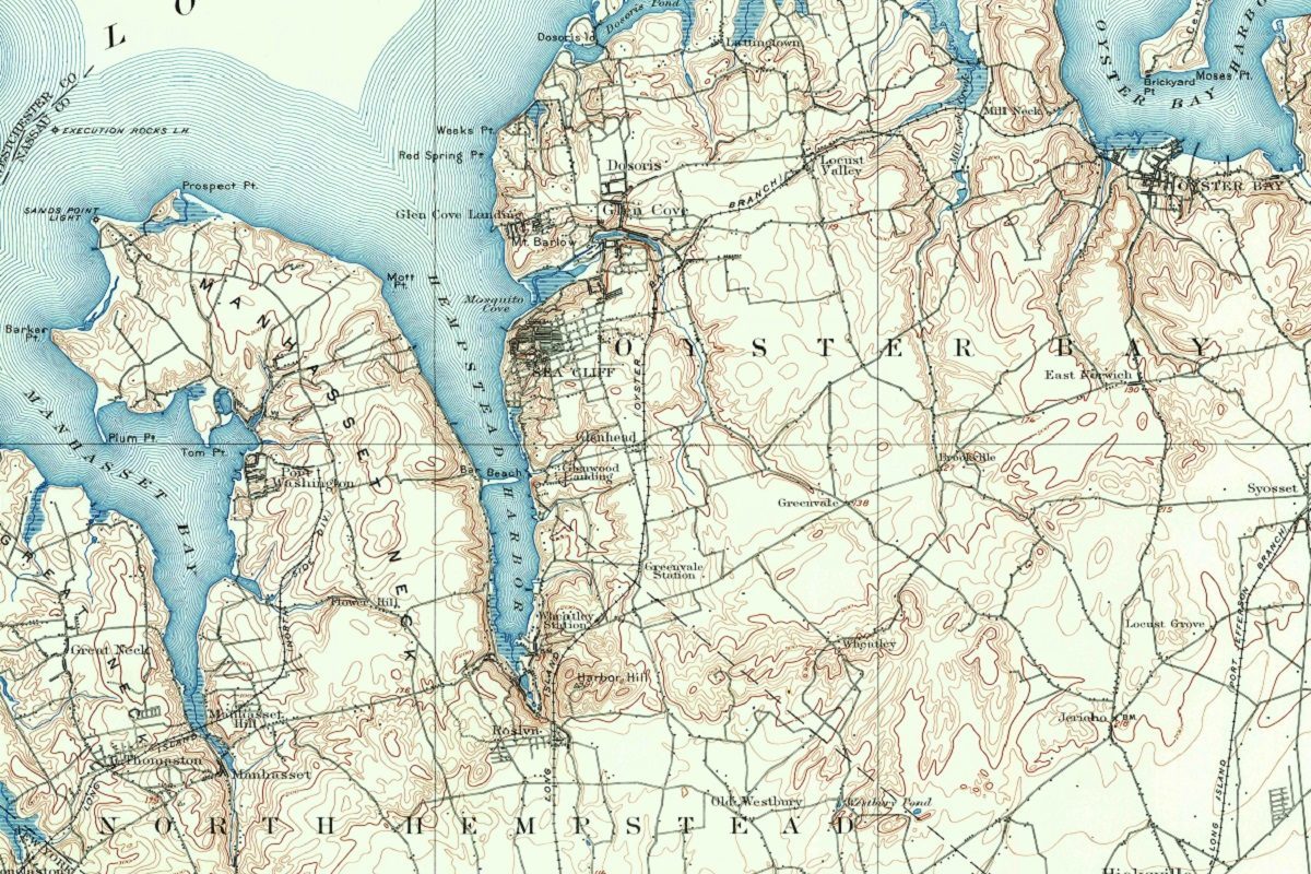
- Topographical Maps: Representation of the physical features of a region or area.
- Contour Maps: Representation of the contours of the land surface or ocean floor.
- Raised Relief Maps: Representation of land elevations with raised features indicating landforms.
- Terrain Maps: Representation of the physical features of a terrain or landmass.
- USGS Topographic Maps: Representation of topographic features and land elevations based on USGS data.
- USGS Historical Topographic Maps: Representation of historical topographic maps created by the USGS.
- Watershed Maps: Representation of the areas where water flows into a particular river or lake.
- Elevation Maps: Representation of land and water elevations with high precision.
- Physical Maps: Representation of physical features of the Earth’s surface such as landforms, oceans, and plateaus.
- Bathymetric Maps: Representation of the topography and features of the ocean floor.
- NOAA Maps: Representation of atmospheric, oceanographic, and environmental data by NOAA.
- Nautical Maps: Representation of the underwater features and depth of an area for navigation purposes.
- Geologic Maps: Representation of the geologic features of an area such as rock types, faults, and folds.
- Satellite Maps: Representation of earth from high-definition satellite imagery.
Contact us today to learn more about our services and how we can help you achieve your goals.

