Top 10 Largest Waterfalls in the United States
Top 10 Largest Waterfalls in the United States
WhiteClouds builds 3D Raised Relief Maps
Waterfalls are some of nature’s most captivating wonders, where gravity and water come together to create mesmerizing displays of beauty and power. In the United States, waterfalls range from towering drops that plunge from dramatic cliffs to wide cascades tumbling through rugged terrains. These waterfalls are not only natural landmarks but also hold historical, cultural, and ecological significance. Here, we explore the top 10 largest waterfalls in the United States, ranked by height, uncovering their immense sizes, fascinating histories, and awe-inspiring beauty.
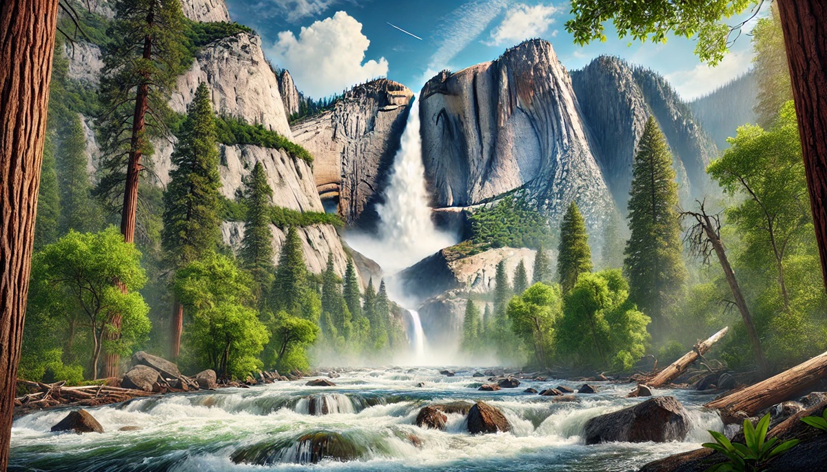
#1: Yosemite Falls – 2,425 Feet
Yosemite Falls, located in California’s Yosemite National Park, is the tallest waterfall in the United States, with a total drop of 2,425 feet. This three-tiered waterfall consists of the Upper Falls, Middle Cascades, and Lower Falls, each contributing to its majestic height. The sight of water plunging from granite cliffs is a hallmark of Yosemite’s stunning landscape. Yosemite Falls is particularly powerful in late spring when snowmelt feeds its flow. Native American legends describe the falls as sacred, and they have inspired countless artists, including famed photographer Ansel Adams. Hiking trails around the falls offer visitors breathtaking views, especially from Yosemite Point.
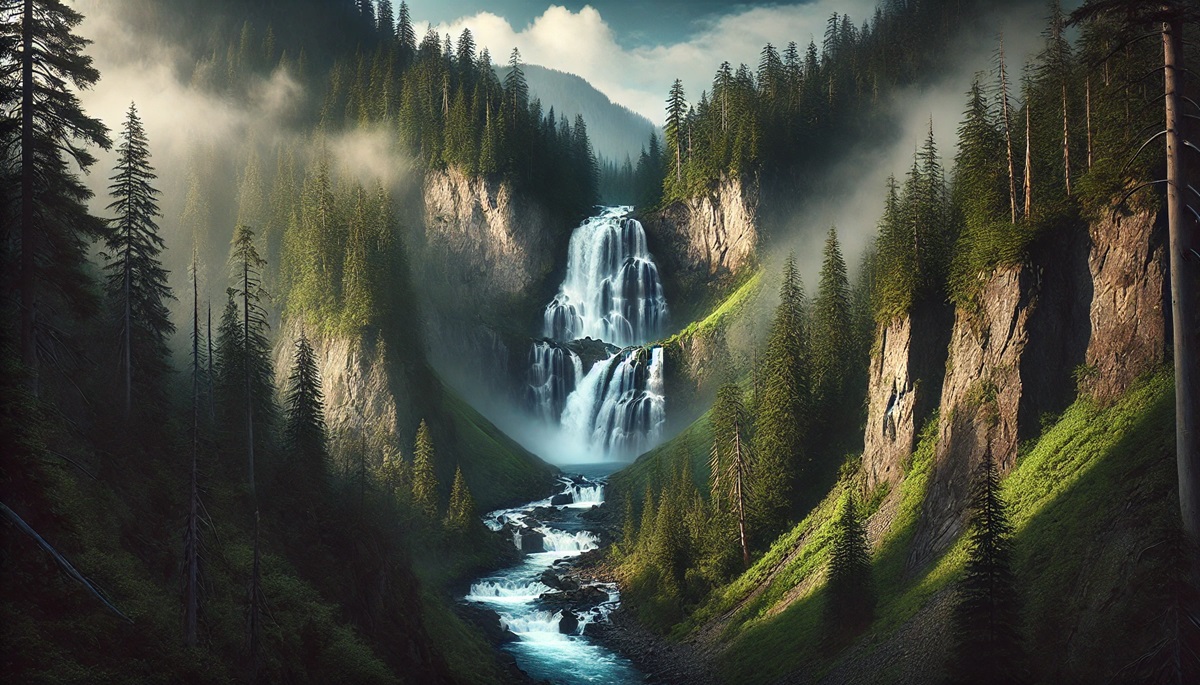
#2: Colonial Creek Falls – 2,568 Feet
Colonial Creek Falls, tucked away in Washington’s North Cascades National Park, is the second tallest waterfall in the United States, plunging 2,568 feet. This segmented waterfall flows down rugged cliffs into dense forests, creating a serene and wild atmosphere. Its remote location makes it a hidden gem, often visited by adventurous hikers seeking tranquility. Anecdotes of early explorers navigating the challenging terrain add to the allure of this natural wonder.
#3: Olo’upena Falls – 2,953 Feet
Located on the Hawaiian island of Molokai, Olo’upena Falls is the tallest waterfall in the United States, cascading a staggering 2,953 feet down the island’s steep sea cliffs. Accessible only by air or sea, this ribbon-like waterfall is a remote and awe-inspiring sight. Its beauty is amplified during the rainy season when it swells with water. Stories of the indigenous people of Molokai highlight the cultural significance of the falls and their connection to the land.
#4: Shoshone Falls – 212 Feet
Shoshone Falls, often referred to as the “Niagara of the West,” is located in Twin Falls, Idaho. Standing at 212 feet tall, it is higher than Niagara Falls. This wide, powerful waterfall on the Snake River is a major attraction, drawing visitors with its dramatic flow and rainbow-filled mist. The falls were historically significant to Native American tribes and early pioneers. Today, they are a symbol of Idaho’s natural beauty and a hub for recreation.
#5: Multnomah Falls – 620 Feet
Multnomah Falls in Oregon’s Columbia River Gorge is one of the most visited and photographed waterfalls in the United States. Its two-tiered drop spans 620 feet, surrounded by lush greenery and basalt cliffs. A short hike leads to Benson Bridge, offering a breathtaking view of the upper cascade. Multnomah Falls is steeped in local lore, with legends of its creation tied to the Multnomah people.
#6: Niagara Falls – 167 Feet
Niagara Falls, straddling the border between New York and Ontario, is one of the most iconic waterfalls in the world. While its height of 167 feet is modest compared to others on this list, its sheer width and volume make it one of the most powerful. The falls are a symbol of American tourism and engineering ingenuity, with hydroelectric projects generating immense amounts of power. Stories of daredevils braving the falls in barrels have captured imaginations for decades.
#7: Havasu Falls – 100 Feet
Havasu Falls, located in the Grand Canyon on the Havasupai Indian Reservation in Arizona, is renowned for its turquoise blue waters and dramatic 100-foot drop. The falls are sacred to the Havasupai people and are a confirmation to the desert’s unexpected beauty. Reaching the falls requires a challenging hike, but the reward is a secluded paradise of pools and cascades surrounded by red rock cliffs.
#8: Upper Falls of the Yellowstone River – 109 Feet
The Upper Falls of the Yellowstone River, located in Yellowstone National Park, Wyoming, is an impressive 109-foot cascade. It serves as a prelude to the iconic Lower Falls, both situated in the Grand Canyon of the Yellowstone. The thunderous roar of the Upper Falls echoes through the canyon, captivating visitors with its raw power. Early explorers and artists were struck by its beauty, cementing its place in the park’s rich history.
#9: Lower Falls of the Yellowstone River – 308 Feet
The Lower Falls of the Yellowstone River, at 308 feet, is the tallest waterfall in Yellowstone National Park. This single-drop waterfall is a centerpiece of the park’s Grand Canyon. The vibrant hues of the canyon walls, combined with the emerald waters of the river, create a breathtaking scene. The falls have been a source of inspiration for artists and conservationists, symbolizing the importance of preserving America’s natural wonders.
#10: Ribbon Falls – 1,612 Feet
Ribbon Falls, located in Yosemite National Park, is a seasonal waterfall that drops 1,612 feet, making it the tallest single-drop waterfall in North America. It is often overshadowed by its more famous neighbors, but its graceful plunge from a sheer granite wall makes it a favorite among photographers. Ribbon Falls is best viewed in spring when snowmelt feeds its flow, creating a shimmering cascade that seems to float in the air.
The largest waterfalls in the United States are more than just geographical features; they are awe-inspiring natural landmarks that showcase the power and beauty of water. From the towering heights of Yosemite Falls to the sheer force of Niagara, these waterfalls remind us of nature’s grandeur and the importance of preserving these wonders for future generations. Whether they are cultural icons, spiritual sites, or hidden gems, each waterfall holds a unique story that enriches our connection to the natural world.
More Great Top 10’s
Waterfalls and Maps
Learn more about Maps
- Topographical Maps: Representation of the physical features of a region or area.
- Contour Maps: Representation of the contours of the land surface or ocean floor.
- Raised Relief Maps: Representation of land elevations with raised features indicating landforms.
- Terrain Maps: Representation of the physical features of a terrain or landmass.
- USGS Topographic Maps: Representation of topographic features and land elevations based on USGS data.
- USGS Historical Topographic Maps: Representation of historical topographic maps created by the USGS.
- Watershed Maps: Representation of the areas where water flows into a particular river or lake.
- Elevation Maps: Representation of land and water elevations with high precision.
- Physical Maps: Representation of physical features of the Earth’s surface such as landforms, oceans, and plateaus.
- Bathymetric Maps: Representation of the topography and features of the ocean floor.
- NOAA Maps: Representation of atmospheric, oceanographic, and environmental data by NOAA.
- Nautical Maps: Representation of the underwater features and depth of an area for navigation purposes.
- Geologic Maps: Representation of the geologic features of an area such as rock types, faults, and folds.
- Satellite Maps: Representation of earth from high-definition satellite imagery.
Contact us today to learn more about our services and how we can help you achieve your goals.


