Top 10 Largest Wetlands in the World
Top 10 Largest Wetlands in the World
WhiteClouds builds 3D Raised Relief Maps
Wetlands are some of the most vital ecosystems on Earth, acting as natural water purifiers, carbon sinks, and biodiversity hotspots. They range from expansive swamps and marshes to sprawling mangroves and floodplains, each supporting unique plants, animals, and local cultures. From the Pantanal’s vast waterways to the Sudd’s ancient floodplains, the world’s largest wetlands are extraordinary in both size and ecological importance. Here are the top 10 largest wetlands in the world, ranked by size.
#1: The Hudson Bay Lowlands, Canada – 325,000 Square Miles
Stretching across Ontario, Quebec, and Manitoba, the Hudson Bay Lowlands cover 325,000 square miles, making them one of the largest continuous wetlands. These boreal wetlands consist of peatlands, bogs, and marshes.
They play a significant role in carbon storage, helping to mitigate climate change. Stories of Indigenous peoples navigating its waterways and relying on its resources for millennia highlight its importance. The Lowlands are a pristine, remote wilderness that showcases Canada’s ecological diversity.

#2: The Pantanal, South America – 75,000 Square Miles
The Pantanal, spanning Brazil, Bolivia, and Paraguay, is the world’s largest wetland. Covering approximately 75,000 square miles, it’s a mosaic of flooded grasslands, rivers, and swamps. During the rainy season, nearly 80% of the area is submerged, creating a haven for biodiversity.
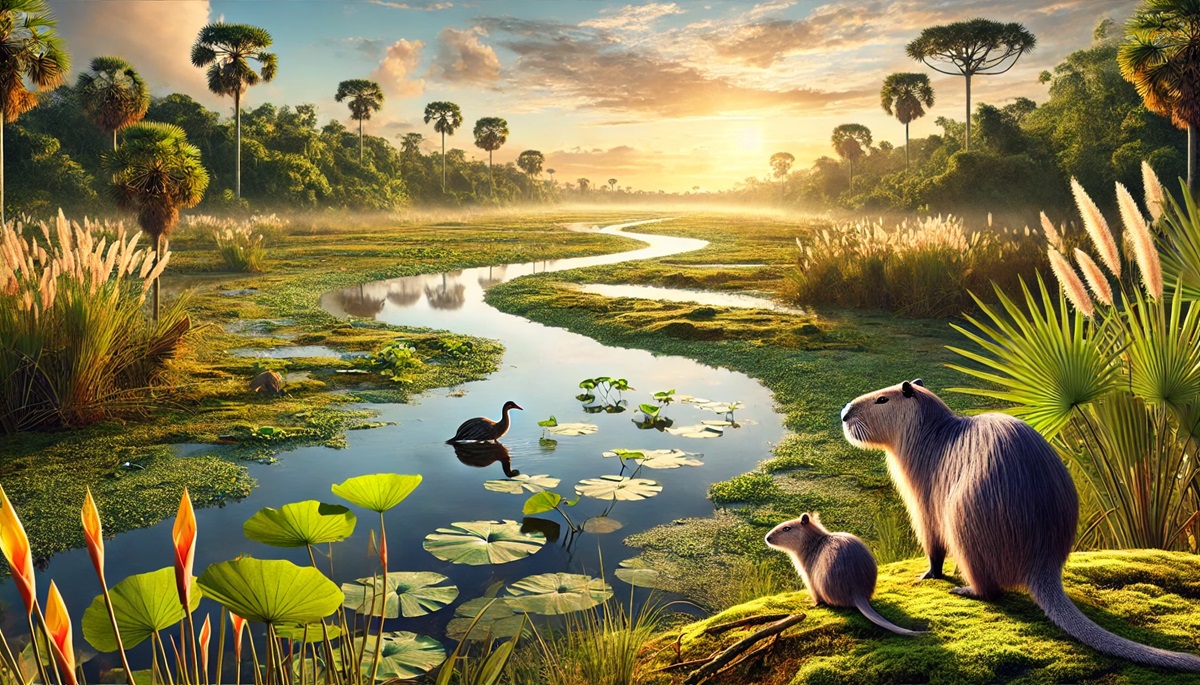
Known as the “Serengeti of South America,” the Pantanal is home to jaguars, caimans, and capybaras. Indigenous tribes and settlers have long relied on its resources, and stories of explorers traversing its labyrinthine waterways abound. Conservation efforts strive to balance the needs of local communities with preserving its unique ecosystem.
#3: The Sudd, Africa – 57,000 Square Miles
Located in South Sudan, the Sudd is one of the largest freshwater wetlands, covering approximately 57,000 square miles. Fed by the White Nile, its vast expanse of marshes and floating vegetation makes it nearly impenetrable.
The Sudd has played a crucial role in African history, serving as both a barrier and a resource. Its importance to the Dinka people, who depend on it for fishing and grazing, underscores its cultural significance. Anecdotes of explorers like John Speke highlight its mystique and the challenges of navigating its ever-changing landscape.
#4: The Amazon River Basin Wetlands, South America – 50,000 Square Miles
The Amazon River Basin, spanning several South American countries, includes wetlands that cover an estimated 50,000 square miles. This area is a critical part of the Amazon Rainforest’s hydrological system, with vast floodplains and oxbow lakes.
These wetlands are a biodiversity hotspot, supporting unique species like the pink river dolphin and giant otter. Tales of Indigenous peoples thriving in harmony with this environment and early explorers marveling at its scale add to its allure. The Amazon wetlands are also crucial in regulating the planet’s climate.
#5: The Congo River Basin Wetlands, Africa – 22,400 Square Miles
The wetlands of the Congo River Basin, spanning 22,400 square miles, are vital to Africa’s second-largest river system. These wetlands support rich biodiversity, including rare species like the African manatee and shoebill stork.
The wetlands have been a resource for Indigenous communities for centuries. Tales of early European explorers venturing into the basin add intrigue to its history. These wetlands are critical for water filtration and flood control.
#6: The Mekong Delta, Asia – 15,600 Square Miles
The Mekong Delta in Vietnam spans 15,600 square miles, forming one of the world’s most fertile wetlands. Its network of rivers, swamps, and rice paddies is a lifeline for millions of people.
The delta’s history includes ancient civilizations and modern challenges like rising sea levels. Anecdotes of floating markets and traditional fishing methods make it a vibrant cultural hub. The Mekong Delta is vital for food production and biodiversity.
#7: The Everglades, USA – 7,800 Square Miles
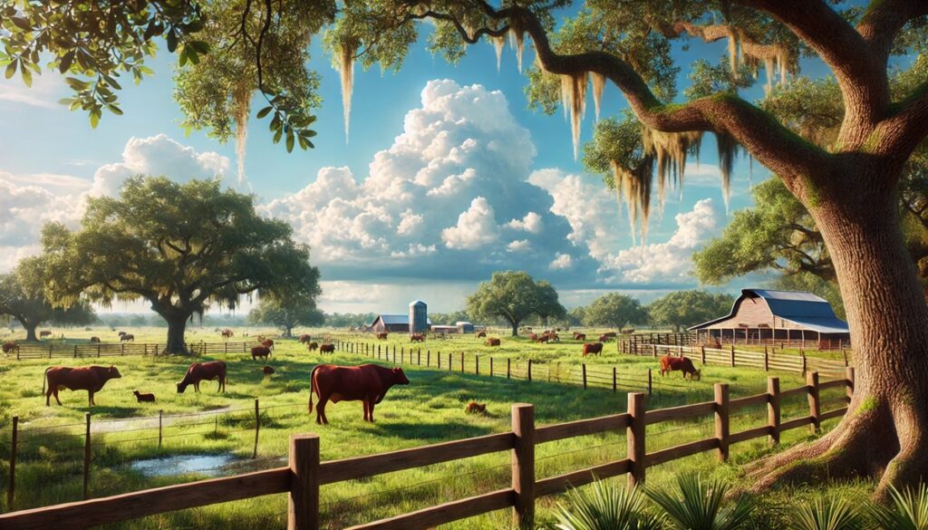
The Everglades in Florida span 7,800 square miles and are often called the “River of Grass.” This subtropical wetland features slow-moving water, sawgrass marshes, and cypress swamps.
The Everglades have been a lifeline for Indigenous tribes like the Miccosukee, whose stories of coexistence with nature enrich its narrative. Conservation efforts have focused on restoring its degraded ecosystems and protecting iconic species like the Florida panther and American alligator.
#8: The Kakadu Wetlands, Australia – 7,700 Square Miles
Located in Northern Australia, the Kakadu Wetlands cover 7,700 square miles and are part of Kakadu National Park, a UNESCO World Heritage Site. These wetlands include floodplains, billabongs, and mangroves.
The wetlands have been home to Aboriginal peoples for over 65,000 years, whose rock art and oral traditions celebrate its importance. Stories of saltwater crocodiles and the park’s diverse birdlife make it a unique natural wonder. The Kakadu Wetlands are a symbol of Australia’s ancient heritage and natural beauty.
#9: The Okavango Delta, Africa – 5,700 Square Miles
The Okavango Delta in Botswana is a UNESCO World Heritage Site and one of Africa’s most iconic wetlands, covering approximately 5,700 square miles. This inland delta transforms the Kalahari Desert into a lush paradise during seasonal floods.
The delta supports a wide array of wildlife, including elephants, lions, and leopards. Its history includes tales of early hunters and conservationists working to protect its fragile ecosystem. The Okavango Delta is a prime destination for eco-tourism and a symbol of nature’s resilience.
#10: The Sundarbans, Asia – 3,900 Square Miles
The Sundarbans, located in India and Bangladesh, are the world’s largest mangrove forest, covering 3,900 square miles. These wetlands are a UNESCO World Heritage Site and a natural barrier against cyclones and tidal surges.
The Sundarbans are home to the elusive Bengal tiger and countless aquatic species. Stories of local fishermen braving its waters and folklore about the forest’s mythical guardian, Bonbibi, add cultural richness. The mangroves’ role in coastal protection highlights their ecological value.
The world’s largest wetlands are ecological powerhouses, supporting life, regulating climate, and preserving cultural heritage. From the Pantanal’s vast floodplains to the Okavango’s seasonal marvels, these wetlands remind us of nature’s delicate balance and enduring beauty. Exploring their histories and ecosystems offers a deeper appreciation for these vital landscapes and the urgent need to protect them.
More Great Top 10’s
Wetlands and Maps
Learn more about Maps
- Topographical Maps: Representation of the physical features of a region or area.
- Contour Maps: Representation of the contours of the land surface or ocean floor.
- Raised Relief Maps: Representation of land elevations with raised features indicating landforms.
- Terrain Maps: Representation of the physical features of a terrain or landmass.
- USGS Topographic Maps: Representation of topographic features and land elevations based on USGS data.
- USGS Historical Topographic Maps: Representation of historical topographic maps created by the USGS.
- Watershed Maps: Representation of the areas where water flows into a particular river or lake.
- Elevation Maps: Representation of land and water elevations with high precision.
- Physical Maps: Representation of physical features of the Earth’s surface such as landforms, oceans, and plateaus.
- Bathymetric Maps: Representation of the topography and features of the ocean floor.
- NOAA Maps: Representation of atmospheric, oceanographic, and environmental data by NOAA.
- Nautical Maps: Representation of the underwater features and depth of an area for navigation purposes.
- Geologic Maps: Representation of the geologic features of an area such as rock types, faults, and folds.
- Satellite Maps: Representation of earth from high-definition satellite imagery.
Contact us today to learn more about our services and how we can help you achieve your goals.


