Top 10 Longest Mountain Ranges in the World
Top 10 Longest Mountain Ranges in the World
WhiteClouds builds 3D Raised Relief Maps
Mountains have always inspired awe, adventure, and mystery, their sheer size and rugged beauty symbolizing nature’s grandeur. Stretching across continents, these monumental ranges define landscapes, cultures, and climates, shaping human history and natural ecosystems alike. This list explores the ten longest mountain ranges in the world, diving into their staggering lengths, fascinating histories, and the stories they tell.
#1: Andes – 4,350 Miles
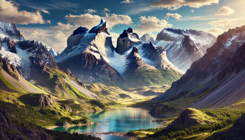
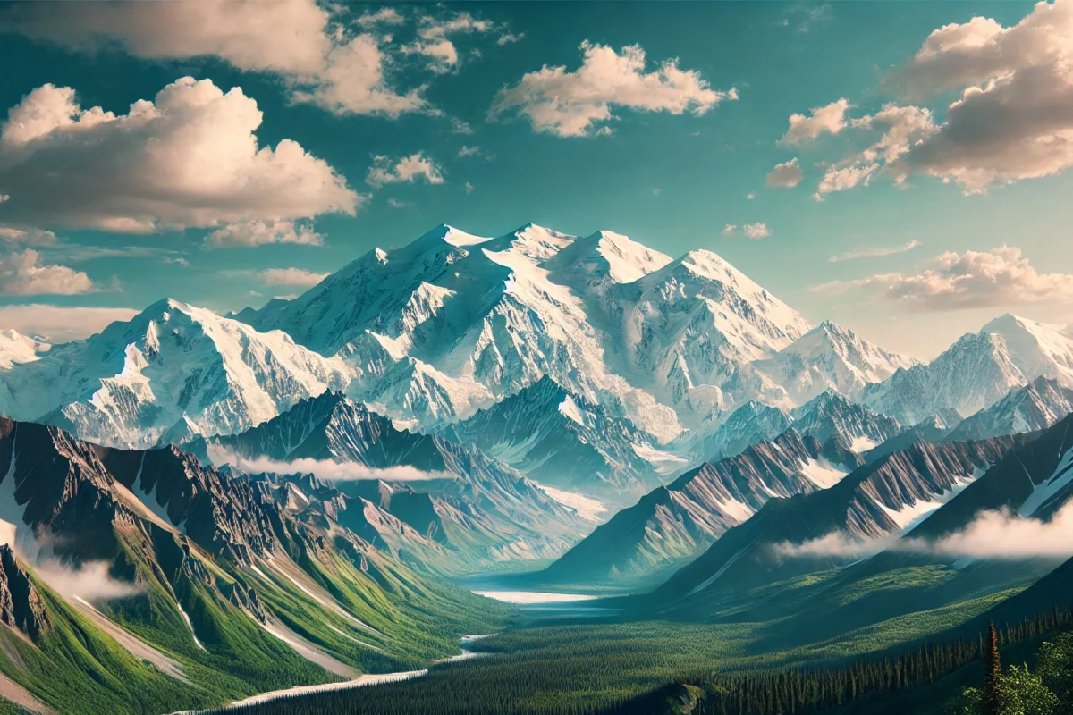
The Andes, the longest mountain range in the world, stretch 4,350 miles along the western edge of South America, crossing seven countries: Venezuela, Colombia, Ecuador, Peru, Bolivia, Chile, and Argentina. Rising to towering peaks, with Aconcagua as the tallest at 22,837 feet, the Andes host diverse ecosystems, from snow-capped summits to arid deserts and lush rainforests. They are also home to some of the most significant cultural and historical sites, such as Machu Picchu and the ruins of the Inca Empire. Legends of lost gold, such as the story of El Dorado, and the exploits of conquistadors weave through the Andes’ rich tapestry. Geologically, the range is a result of the subduction of the Nazca Plate beneath the South American Plate, a process that continues to this day, making the region seismically active.
#2: Rocky Mountains – 3,000 Miles
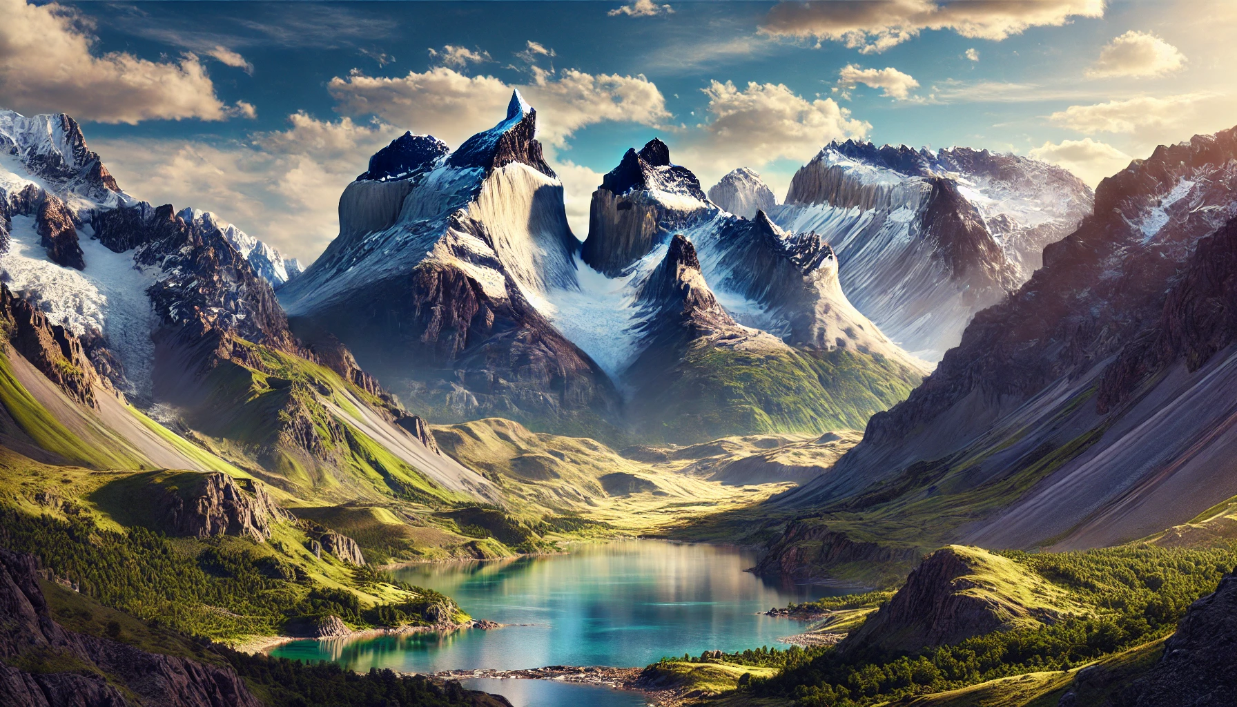
Spanning approximately 3,000 miles from northern British Columbia, Canada, to New Mexico in the United States, the Rocky Mountains are a North American treasure. Known for their dramatic peaks and alpine lakes, the Rockies are also rich in wildlife, including bears, elk, and eagles. Mount Elbert, at 14,440 feet, is the tallest peak in the Rockies. The range has inspired countless adventurers, from fur trappers in the 19th century to modern hikers traversing the Continental Divide Trail. Stories of survival, like that of Hugh Glass, the frontiersman who endured a bear attack and crawled over 200 miles to safety, highlight the rugged spirit of the Rockies. Geologically, the Rockies formed around 70 million years ago during the Laramide orogeny, a tectonic event that lifted the region to its current prominence.
#3: Great Dividing Range – 2,200 Miles
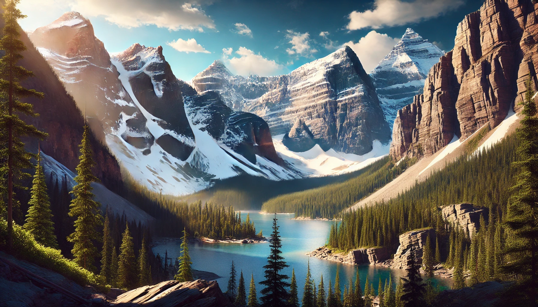
Australia’s Great Dividing Range extends for 2,200 miles along the continent’s eastern coast, from Queensland to Victoria. Despite its modest heights, with Mount Kosciuszko reaching 7,310 feet, the range is vital for its role in capturing rainwater, which supports much of Australia’s agriculture. Rich in Aboriginal history, the range is dotted with sacred sites and ancient pathways. European exploration of the range was critical to opening the interior of the continent, and the gold rushes of the 19th century further cemented its importance. The Great Dividing Range also supports unique ecosystems, including the Gondwana Rainforests, a UNESCO World Heritage Site.
#4: Transantarctic Mountains – 2,175 Miles
Stretching across Antarctica, the Transantarctic Mountains are one of the longest mountain ranges, spanning 2,175 miles. Covered in ice and snow, with peaks such as Mount Kirkpatrick reaching 14,528 feet, the range divides East and West Antarctica. First sighted during James Clark Ross’s 1841 expedition, the range remained largely unexplored until the mid-20th century. The extreme cold preserves fossils and geological features, offering a window into Antarctica’s ancient history, including evidence of dinosaurs and lush forests from millions of years ago. The Transantarctic Mountains are vital to understanding the continent’s glacial systems and their impact on global sea levels.
#5: Himalayas – 1,500 Miles
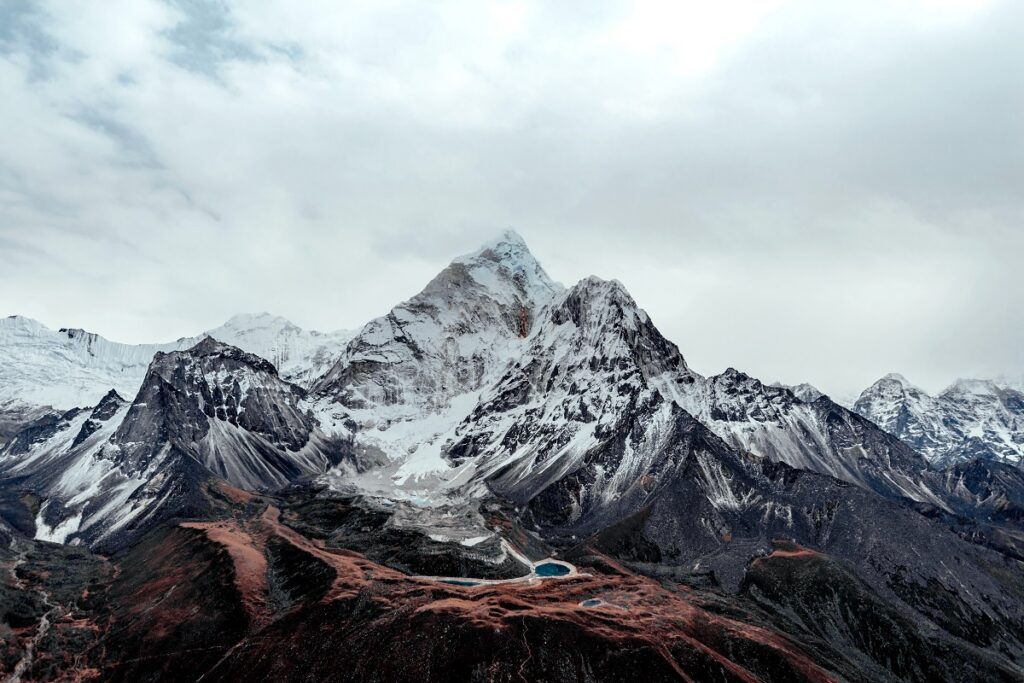
The Himalayas, spanning 1,500 miles across South Asia, are home to the world’s tallest peaks, including Mount Everest at 29,032 feet. Stretching through Pakistan, India, Nepal, Bhutan, and China, the range is a cradle of spirituality, hosting sacred sites like Mount Kailash and centuries-old monasteries. Formed by the collision of the Indian and Eurasian tectonic plates, the Himalayas are still rising. Climbers from around the globe flock to its challenging peaks, but the stories of local Sherpas, who guide expeditions and risk their lives, are equally inspiring. Legends of the Yeti, or “Abominable Snowman,” add a layer of mystique to this formidable range.
#6: Appalachian Mountains – 1,500 Miles
The Appalachian Mountains stretch 1,500 miles from Newfoundland in Canada to Alabama in the United States, forming an ancient range that predates most of Earth’s other major mountain systems. Rich in biodiversity and culture, the Appalachians are famed for their rolling hills, dense forests, and the Appalachian Trail, a 2,190-mile hiking route. The range played a crucial role in early American history, serving as both a barrier and a pathway for settlers. Coal mining, once the region’s economic backbone, has left an indelible mark on Appalachian culture and landscape. The range’s geological history spans over 480 million years, making it one of the oldest in the world.
#7: Altai Mountains – 1,200 Miles
The Altai Mountains, spanning 1,200 miles across Russia, Kazakhstan, Mongolia, and China, are a treasure trove of natural beauty and cultural heritage. Known for their dramatic landscapes of rugged peaks, alpine lakes, and vast steppe, the Altai are rich in biodiversity, with species like the snow leopard calling the range home. Mount Belukha, the highest peak, reaches 14,783 feet. The Altai hold spiritual significance for local communities, and ancient petroglyphs scattered throughout the region tell stories of human settlement dating back thousands of years. The range also plays a central role in the mythology of the Turkic and Mongolian peoples.
#8: Ural Mountains – 1,300 Miles
The Ural Mountains, spanning 1,300 miles from Russia’s Arctic coast to the Kazakh steppe, form the natural boundary between Europe and Asia. Rich in mineral resources, the Urals have been mined for centuries, earning them the nickname “the Stone Belt.” Mount Narodnaya, at 6,217 feet, is the highest peak. The Dyatlov Pass incident, a mysterious and tragic event involving the deaths of nine hikers in 1959, adds an eerie layer to the Urals’ history. Geologically, the range is over 250 million years old, and its ancient rocks hold fossils that provide insights into Earth’s distant past.
#9: Karakoram Range – 500 Miles
The Karakoram Range, spanning 500 miles across Pakistan, India, and China, is home to some of the most rugged and remote terrain on Earth. Its peaks include K2, the second-highest mountain in the world at 28,251 feet. Known for its treacherous climbing conditions, K2 has earned the nickname “Savage Mountain.” The Karakoram is also home to vast glaciers, including the Siachen Glacier, one of the longest outside the polar regions. The range has been a crossroads for trade and exploration, with the ancient Silk Road passing through its valleys.
#10: Atlas Mountains – 1,600 Miles
The Atlas Mountains stretch 1,600 miles across Morocco, Algeria, and Tunisia, forming a natural barrier between the Sahara Desert and the Mediterranean coast. The range is home to diverse ecosystems and Berber communities that have lived in harmony with the land for centuries. Mount Toubkal, the highest peak, rises to 13,671 feet. The Atlas Mountains are steeped in mythology, with their name deriving from the Greek Titan Atlas. Stories of ancient caravans traversing its passes and modern-day trekkers exploring its rugged trails highlight the range’s enduring allure.
The world’s longest mountain ranges are more than just geological features; they are lifelines that sustain ecosystems, cradles of culture and history, and natural monuments to the Earth’s dynamic forces. From the towering Andes to the ancient Appalachians, these ranges inspire awe and adventure, reminding us of nature’s ability to shape not only the land but also the lives of those who call it home. Each range offers its own unique beauty and story, inviting exploration and reverence for generations to come.
More Great Top 10’s
Mountain Ranges and Maps
Learn more about Maps
- Topographical Maps: Representation of the physical features of a region or area.
- Contour Maps: Representation of the contours of the land surface or ocean floor.
- Raised Relief Maps: Representation of land elevations with raised features indicating landforms.
- Terrain Maps: Representation of the physical features of a terrain or landmass.
- USGS Topographic Maps: Representation of topographic features and land elevations based on USGS data.
- USGS Historical Topographic Maps: Representation of historical topographic maps created by the USGS.
- Watershed Maps: Representation of the areas where water flows into a particular river or lake.
- Elevation Maps: Representation of land and water elevations with high precision.
- Physical Maps: Representation of physical features of the Earth’s surface such as landforms, oceans, and plateaus.
- Bathymetric Maps: Representation of the topography and features of the ocean floor.
- NOAA Maps: Representation of atmospheric, oceanographic, and environmental data by NOAA.
- Nautical Maps: Representation of the underwater features and depth of an area for navigation purposes.
- Geologic Maps: Representation of the geologic features of an area such as rock types, faults, and folds.
- Satellite Maps: Representation of earth from high-definition satellite imagery.
Contact us today to learn more about our services and how we can help you achieve your goals.

