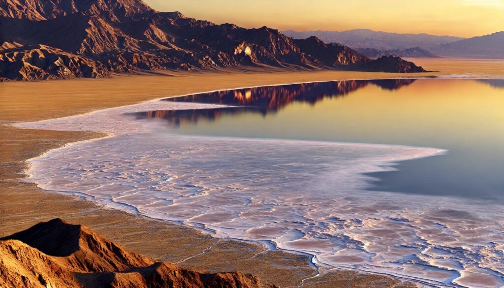
Rivers and maps have always shared an intimate connection, one that feels almost poetic in its nature. A river on a map is more than just a squiggly blue line; it’s a story in motion, a living artery that breathes life into the land it traverses. Maps capture these rivers mid-journey, charting their twists and turns as if freezing a dance that’s been ongoing for millennia. Every bend and tributary is a whisper of the river’s personality, a record of its stubborn defiance or gentle compromise with the terrain. Rivers have guided explorers, drawn borders, and shaped civilizations, their paths inked into the parchment of history as indelibly as into the land. On maps, they are connectors, linking dots of cities and towns, their currents inviting questions of what lies upstream or downstream. A map with rivers is a map with a pulse, its veins carrying stories of rainstorms, melting glaciers, and secret springs. As you trace a river’s line with your finger, you feel its rhythm, the pull of its timeless flow, and the promise of adventure along its shores. Rivers on maps are both anchors and pathways, grounding us in place while luring us toward the unknown.
Top 10 Longest Rivers in the United States
Top 10 Longest Rivers in the United States
WhiteClouds builds 3D Raised Relief Maps
The United States is home to some of the world’s most iconic rivers, weaving through vast landscapes and playing pivotal roles in the nation’s history, economy, and ecology. These rivers provide critical water sources, support rich ecosystems, and have witnessed centuries of human interaction. From forming boundaries to serving as transportation highways, they tell tales of natural grandeur and human enterprise. Below is a list of the ten longest rivers in the United States, detailing their lengths, locations, history, and fascinating anecdotes.
#1: Missouri River (2,341 miles)
The Missouri River, often called the “Big Muddy,” is the longest river in the United States, winding 2,341 miles through seven states. It begins in the Rocky Mountains of Montana and meanders through North Dakota, South Dakota, Nebraska, Iowa, Kansas, and Missouri before joining the Mississippi River near St. Louis. This mighty river is a crucial waterway for agriculture, transporting goods, and providing drinking water to millions. Its basin encompasses over 500,000 square miles, making it one of the most significant watersheds in North America.
An interesting anecdote involves the Lewis and Clark Expedition (1804–1806), which relied heavily on the Missouri River for their journey westward. The explorers encountered diverse landscapes and Indigenous tribes, mapping vast stretches of territory and paving the way for westward expansion. The river has long been a source of sustenance and spirituality for Native American tribes, who regard it as a lifeline. Today, the Missouri remains vital for irrigation, recreation, and commerce, though its course has been heavily modified by dams and reservoirs.
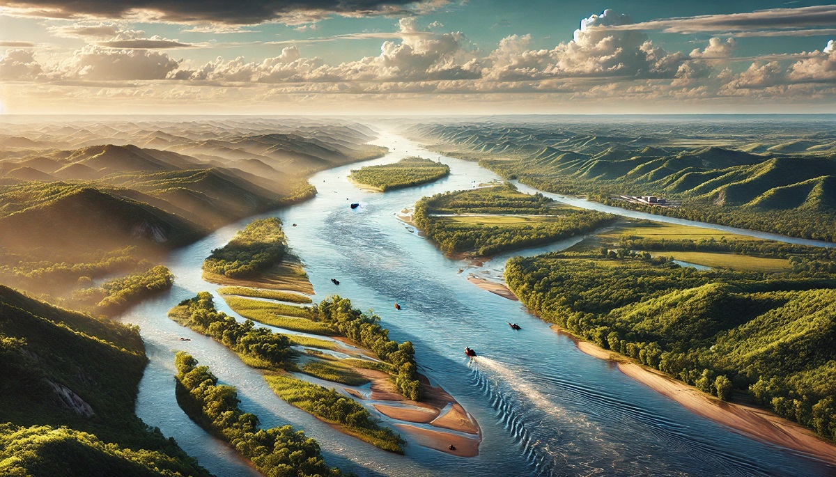
#2: Mississippi River (2,340 miles)
The Mississippi River, the second-longest in the U.S. at 2,340 miles, flows from its source at Lake Itasca in Minnesota to the Gulf of Mexico. Known as “Old Man River,” it carves through the heartland, passing through ten states and serving as a natural boundary for many. Its basin covers over 1.2 million square miles, one of the largest drainage systems in the world.
This river has been immortalized in literature and music, with Mark Twain’s tales of life on the Mississippi captivating readers for generations. Its role in the Civil War as a strategic waterway was pivotal to the Union’s victory, and it continues to support a vast shipping industry. The Mississippi Delta, rich in silt and biodiversity, is a unique ecosystem under threat from rising sea levels and human intervention.
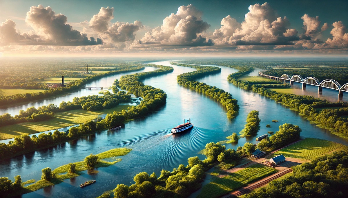
#3: Yukon River (1,982 miles)
Flowing 1,982 miles through Alaska and Canada, the Yukon River is a remote and wild waterway steeped in history. Its headwaters are in British Columbia, and it eventually drains into the Bering Sea. The river is synonymous with the Klondike Gold Rush (1896–1899), when thousands of prospectors braved its icy waters in search of fortune.
The river’s harsh winters and unpredictable flows make it a challenging environment, yet it remains a critical resource for Indigenous communities. Rich in salmon, it supports subsistence fishing and serves as a corridor for wildlife migration. Stories of early settlers and gold miners enduring its rugged terrain are legendary, and its untouched beauty continues to inspire adventurers.
#4: Rio Grande (1,896 miles)
The Rio Grande stretches 1,896 miles, forming a natural border between the United States and Mexico. Originating in the Colorado Rockies, it flows through New Mexico and Texas, ultimately emptying into the Gulf of Mexico. This iconic river is central to the arid Southwest, providing water for agriculture and cities like El Paso and Albuquerque.
Despite its size, the Rio Grande faces significant challenges, including overuse and climate change, which have drastically reduced its flow. Its historic role as a boundary has made it a site of cultural exchange and conflict. Anecdotes from travelers describe the striking landscapes of Big Bend National Park, where the river carves deep canyons into the desert.
#5: Arkansas River (1,469 miles)
The Arkansas River winds 1,469 miles from its origins in the Rocky Mountains of Colorado through Kansas, Oklahoma, and Arkansas, where it meets the Mississippi. It has long been a critical resource for farming and navigation. Native Americans and pioneers relied on it for sustenance and transportation.
During the Dust Bowl of the 1930s, the Arkansas River became a symbol of resilience as communities in its basin adapted to devastating droughts. Today, its waters are harnessed for irrigation, hydroelectric power, and recreation. Stories of fishing expeditions and rafting trips in the Rockies showcase its versatility.
#6: Columbia River (1,243 miles)
The Columbia River, stretching 1,243 miles, begins in British Columbia, Canada, and flows through Washington and Oregon before emptying into the Pacific Ocean. Known for its powerful current and scenic beauty, the Columbia is a vital waterway for the Pacific Northwest. Its watershed is the fourth-largest in the United States, covering over 250,000 square miles.
One of the most notable aspects of the Columbia is its hydroelectric power generation. The river’s 14 dams provide electricity to millions of people, earning it the nickname “the powerhouse of the West.” Historically, the river served as a transportation route for Indigenous peoples and fur traders. The Lewis and Clark Expedition relied on the Columbia to reach the Pacific in 1805. Today, it’s a popular destination for salmon fishing and water sports. However, the construction of dams has significantly impacted the salmon population, leading to ongoing conservation efforts.
#7: Red River (1,125 miles)
The Red River flows for 1,125 miles through Texas, Oklahoma, Arkansas, and Louisiana, where it merges with the Atchafalaya River. Its reddish hue, caused by high silt content, gives the river its name. The Red River has played a central role in defining territorial boundaries, including the establishment of the Texas-Oklahoma border.
A fascinating story associated with the Red River is the “Great Raft,” a massive logjam that once stretched over 150 miles in the 19th century. Clearing the logjam was an engineering marvel of its time and allowed for increased navigation and trade. The river continues to support agriculture and provides a critical water source for the region. Its meandering course and sediment-rich waters are essential for maintaining fertile floodplains.
#8: Snake River (1,078 miles)
The Snake River, a tributary of the Columbia, winds 1,078 miles through Wyoming, Idaho, Oregon, and Washington. Its journey begins in Yellowstone National Park and concludes at the confluence with the Columbia. The Snake River carves dramatic landscapes, including Hells Canyon, the deepest river gorge in North America.
The river’s history is intertwined with Indigenous peoples, who relied on its abundant fish for sustenance. Later, pioneers traveling the Oregon Trail crossed the Snake, often facing perilous river crossings. Today, the Snake River is a hotspot for white-water rafting and fishing. Its dams, while providing irrigation and power, have raised concerns about fish migration, sparking debates about the river’s management.
#9: Ohio River (981 miles)
The Ohio River flows 981 miles from Pittsburgh, Pennsylvania, to its confluence with the Mississippi River at Cairo, Illinois. As a major tributary of the Mississippi, the Ohio has been a key artery for transportation, trade, and settlement. Its basin covers parts of 14 states and is densely populated, making it a critical resource for industry and agriculture.
The river played a significant role in early American history, serving as a natural boundary between free and slave states before the Civil War. It was also part of the Underground Railroad, providing a route to freedom for many escaping slavery. The Ohio continues to be a major shipping route, with barges carrying coal, steel, and other goods. Its scenic beauty, particularly in fall, attracts visitors who enjoy boating and fishing along its shores.
#10: Colorado River (926 miles)
The Colorado River, at 926 miles, begins in the Rocky Mountains of Colorado and winds through seven states before reaching Mexico’s Gulf of California. Known for carving the Grand Canyon, the Colorado is one of the most iconic rivers in the world. Its watershed supports 40 million people and irrigates 5.5 million acres of farmland.
The river’s history is steeped in exploration and conflict. Early Indigenous peoples built complex irrigation systems along its banks, and Spanish explorers marveled at its dramatic canyons. Today, the Colorado is a vital resource for water and hydroelectric power, but it faces immense pressure from overuse and drought. The construction of Hoover Dam and Glen Canyon Dam transformed the river, creating reservoirs like Lake Mead and Lake Powell. Efforts to restore its flow to the Gulf of California highlight the challenges of managing such a critical waterway.
From the vast expanses of the Missouri to the dramatic gorges of the Snake, the longest rivers in the United States are more than just geographical features; they are living entities that shape landscapes, ecosystems, and cultures. These rivers have witnessed history unfold, from Indigenous civilizations to modern engineering marvels, and continue to sustain millions of people and countless species. Preserving their health and vitality is essential not only for their ecological and historical significance but also for ensuring that future generations can marvel at their beauty and benefit from their resources.
More Great Top 10’s
Rivers and Maps
Learn more about Maps
- Topographical Maps: Representation of the physical features of a region or area.
- Contour Maps: Representation of the contours of the land surface or ocean floor.
- Raised Relief Maps: Representation of land elevations with raised features indicating landforms.
- Terrain Maps: Representation of the physical features of a terrain or landmass.
- USGS Topographic Maps: Representation of topographic features and land elevations based on USGS data.
- USGS Historical Topographic Maps: Representation of historical topographic maps created by the USGS.
- Watershed Maps: Representation of the areas where water flows into a particular river or lake.
- Elevation Maps: Representation of land and water elevations with high precision.
- Physical Maps: Representation of physical features of the Earth’s surface such as landforms, oceans, and plateaus.
- Bathymetric Maps: Representation of the topography and features of the ocean floor.
- NOAA Maps: Representation of atmospheric, oceanographic, and environmental data by NOAA.
- Nautical Maps: Representation of the underwater features and depth of an area for navigation purposes.
- Geologic Maps: Representation of the geologic features of an area such as rock types, faults, and folds.
- Satellite Maps: Representation of earth from high-definition satellite imagery.
Contact us today to learn more about our services and how we can help you achieve your goals.


