Top 10 Longest Rivers in the World
Top 10 Longest Rivers in the World
WhiteClouds builds 3D Raised Relief Maps
Rivers are the lifelines of the planet, coursing through continents, carving landscapes, and shaping civilizations. They are nature’s highways, nurturing ecosystems, and connecting distant regions. Some of these rivers, spanning thousands of miles, have become icons of the natural world, rich with history, culture, and tales of exploration. Here are the top 10 longest rivers in the world, celebrated for their size, significance, and the stories they hold.
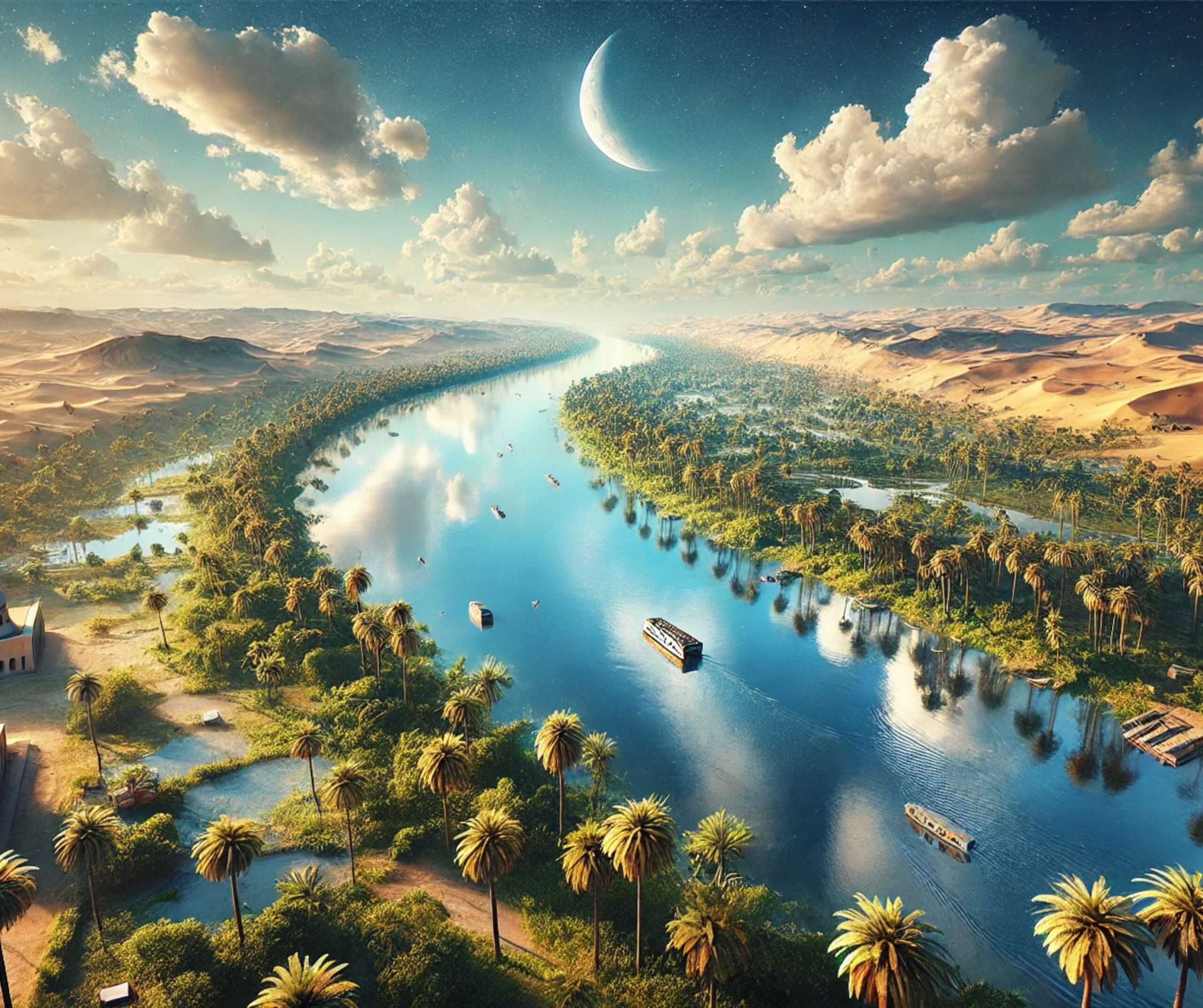
#1: Nile River – 4,135 miles
The Nile River, stretching 4,135 miles, is the longest river in the world, flowing through 11 countries in northeastern Africa. Beginning in the Great Lakes region, it winds its way to the Mediterranean Sea, sustaining life across the vast deserts of Sudan and Egypt. Known as the cradle of civilization, the Nile is intertwined with the history of ancient Egypt, whose pharaohs built their empires along its banks.
The river is a marvel of endurance, traversing some of the harshest climates on Earth. Ancient Egyptians revered it as a god, and its predictable flooding allowed for agricultural abundance. Today, the Nile continues to be a vital source of water and hydroelectric power. Stories of early explorers like John Hanning Speke, who sought its source, add an air of adventure to its legacy.
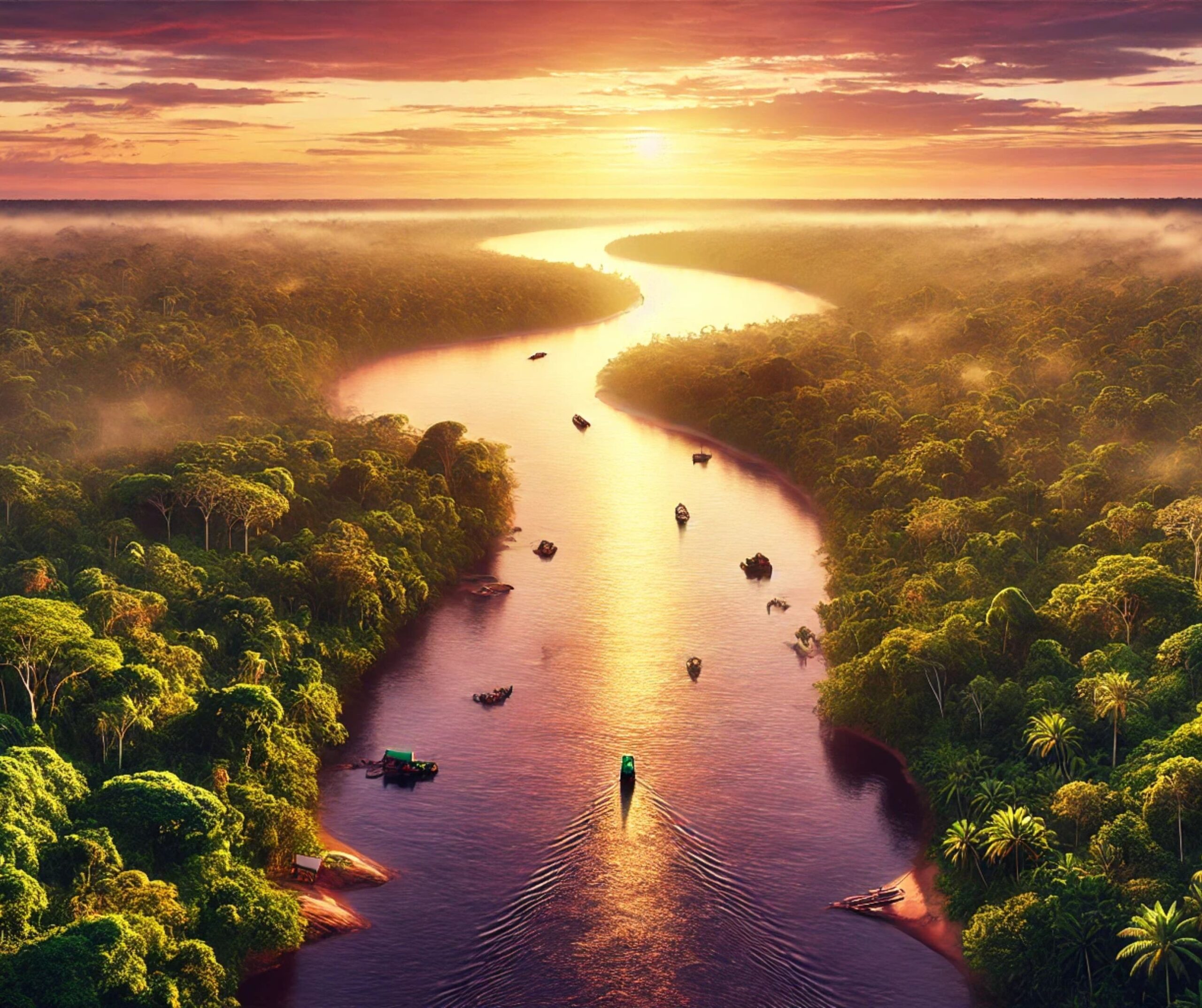
#2: Amazon River – 4,000 miles
The Amazon River is a titan of water flow, carrying more water than the next seven largest rivers combined. Spanning 4,000 miles, it winds through the heart of South America, from the Andes Mountains in Peru to the Atlantic Ocean in Brazil. Its basin is home to the largest rainforest on Earth, teeming with biodiversity.
The Amazon’s history is one of exploration and mystery. Early European explorers like Francisco de Orellana ventured into its vast unknown, encountering its incredible wildlife and indigenous peoples. The river’s immense ecological importance cannot be overstated—it supports countless species and regulates the global climate.
#3: Yangtze River – 3,915 miles
The Yangtze River, at 3,915 miles, is the longest river in Asia and a lifeline for China. From its source in the Tibetan Plateau to its mouth in the East China Sea, the Yangtze passes through regions of immense cultural and economic significance.
The river is home to the Three Gorges Dam, the largest hydroelectric dam in the world, a symbol of both engineering prowess and environmental debate. Its waters have inspired Chinese poets and painters for centuries. Anecdotes about its role in ancient trade and as a divider during wars highlight its historical importance.
#4: Mississippi-Missouri River System – 3,902 miles
The Mississippi-Missouri River System is the largest river system in North America, flowing 3,902 miles from Montana to the Gulf of Mexico. It has been a cornerstone of American history, culture, and economy.
The river system was a critical transportation route during the 19th century, enabling westward expansion and trade. Stories of Mark Twain and his adventures on the Mississippi add a literary charm to its narrative. Today, it supports agriculture, industry, and recreation across the Midwest.
#5: Yenisei River – 3,445 miles
The Yenisei River, flowing 3,445 miles through Siberia, is the largest river system flowing into the Arctic Ocean. Its remote location makes it a wild and pristine waterway, cutting through dense taiga forests and tundra.
The river’s history is deeply connected to Russia’s exploration of Siberia. It has served as a transport route and source of power for centuries. Stories of nomadic tribes and the river’s abundant wildlife, including Siberian sturgeon, add to its mystique.
6. Yellow River (Huang He) – 3,395 miles
The Yellow River, or Huang He, stretches 3,395 miles through northern China. Known as the “Cradle of Chinese Civilization,” it has nurtured some of the earliest human settlements.
The river’s unpredictable flooding earned it the nickname “China’s Sorrow,” yet it fertile plains allowed ancient dynasties to thrive. Stories of irrigation systems and early engineering marvels highlight its central role in Chinese history.
#7: Ob-Irtysh River – 3,364 miles
The Ob-Irtysh River system flows 3,364 miles across Russia, Kazakhstan, and China. Its vast basin supports diverse ecosystems and human settlements.
The river has a storied history as a trade route and a source of natural resources. Anecdotes about its icy winters and the challenges of navigating its waters are a confirmation to its untamed nature.
#8: Paraná River – 3,030 miles
The Paraná River, flowing 3,030 miles through Brazil, Paraguay, and Argentina, is a lifeline for South America. It is home to the Itaipu Dam, one of the world’s largest hydroelectric plants.
The river supports agriculture, fishing, and transportation. Stories of its role in the history of the Guarani people and its lush wetlands, the Pantanal, underscore its ecological and cultural importance.
#9: Congo River – 2,920 miles
The Congo River, at 2,920 miles, is the world’s deepest river and a vital artery for Central Africa. Its basin is a hotspot of biodiversity and home to many indigenous communities.
The river’s history is one of exploration and colonization, with figures like Henry Morton Stanley venturing into its vast jungles. Today, it remains a vital resource for millions.
#10: Amur River – 2,763 miles
The Amur River flows 2,763 miles along the border between Russia and China. It is a symbol of cooperation and conflict between the two nations.
The river’s rich history includes its role as a boundary and its cultural significance to the indigenous peoples of the region. Its diverse ecosystems and scenic beauty make it a treasure of East Asia.
These mighty rivers represent the lifeblood of the regions they traverse, shaping landscapes, cultures, and histories. They remind us of the dynamic interplay between nature and humanity, flowing ceaselessly through time and space. Together, they inspire awe and respect for the planet’s natural wonders.
More Great Top 10’s
Rivers and Maps
Learn more about Maps
- Topographical Maps: Representation of the physical features of a region or area.
- Contour Maps: Representation of the contours of the land surface or ocean floor.
- Raised Relief Maps: Representation of land elevations with raised features indicating landforms.
- Terrain Maps: Representation of the physical features of a terrain or landmass.
- USGS Topographic Maps: Representation of topographic features and land elevations based on USGS data.
- USGS Historical Topographic Maps: Representation of historical topographic maps created by the USGS.
- Watershed Maps: Representation of the areas where water flows into a particular river or lake.
- Elevation Maps: Representation of land and water elevations with high precision.
- Physical Maps: Representation of physical features of the Earth’s surface such as landforms, oceans, and plateaus.
- Bathymetric Maps: Representation of the topography and features of the ocean floor.
- NOAA Maps: Representation of atmospheric, oceanographic, and environmental data by NOAA.
- Nautical Maps: Representation of the underwater features and depth of an area for navigation purposes.
- Geologic Maps: Representation of the geologic features of an area such as rock types, faults, and folds.
- Satellite Maps: Representation of earth from high-definition satellite imagery.
Contact us today to learn more about our services and how we can help you achieve your goals.

