Top 10 Maps of the World
Top 10 Maps of the World
WhiteClouds builds 3D Raised Relief Maps
Maps are windows to our world, allowing us to explore distant lands, navigate new territories, and better understand the intricate features of our planet. Over the centuries, maps have evolved from simple sketches to sophisticated tools that define geography, shape our understanding of history, and serve as essential guides in various disciplines. The following list highlights the top 10 world maps, ranked by size, showcasing the diversity and importance of cartography throughout time. These maps not only represent physical spaces but also offer a glimpse into the aspirations and technological advancements of the people who created them.
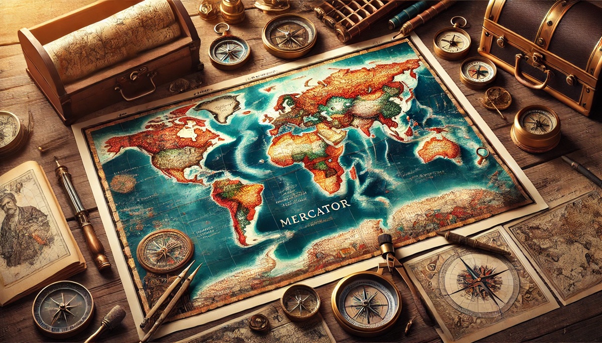
#1: The World Map by Gerardus Mercator, 63 Inches by 48 Inches
The Mercator projection, created by the Flemish cartographer Gerardus Mercator in 1569, revolutionized the way we view the world. Measuring an impressive 63 inches by 48 inches, this map was designed for navigation, and it has since become one of the most widely recognized and used maps in history. The Mercator projection distorts landmasses near the poles, but it preserves straight lines for navigational routes, making it ideal for sailors during the Age of Exploration. Its use allowed explorers like Sir Francis Drake and Vasco da Gama to chart new territories across vast oceans. One fascinating anecdote is that the map’s distortion led to the creation of many misconceptions about the true size of countries and continents, with Europe appearing disproportionately large compared to Africa and the Americas. Despite this flaw, the map was groundbreaking and set the standard for navigation for centuries.
#2: The Ptolemaic World Map, 54 Inches by 42 Inches
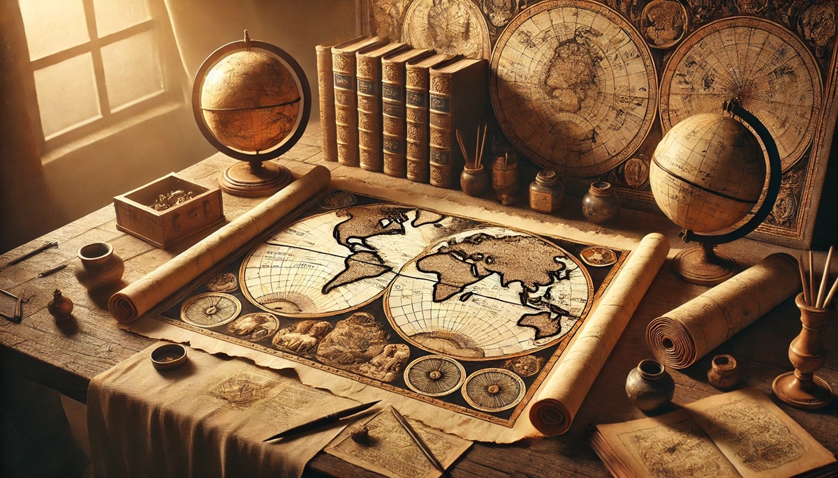
The Ptolemaic world map, based on the work of the ancient Greek geographer Claudius Ptolemy, represents the world as it was known in the 2nd century AD. The map measures 54 inches by 42 inches and is one of the earliest attempts at creating a global representation based on astronomical observations and longitude and latitude coordinates. The Ptolemaic map depicts the world with a central Mediterranean, with the Earth surrounded by oceans. This map reflects the limited knowledge of the time, with Africa’s southern tip and the Americas left undiscovered. Despite these limitations, the Ptolemaic map was revolutionary for its time and influenced medieval map-making for centuries. Its history is intertwined with the development of cartography as a science, with later maps attempting to correct the inaccuracies of Ptolemy’s work. One interesting story involves the use of Ptolemaic maps during the Renaissance, which inspired explorers like Christopher Columbus, who mistakenly believed he could reach Asia by sailing westward across the Atlantic.
#3: The Ebstorf Map, 80 Inches by 80 Inches
The Ebstorf Map, measuring 80 inches by 80 inches, was a medieval mappa mundi created around the 13th century. This world map was drawn on a large circular sheet of parchment and depicts the Earth as the center of the universe, surrounded by the biblical creation story. At the time, it was considered an educational tool to represent the known world, illustrating not just geography but also religious beliefs, historical events, and mythical creatures. The map’s size and intricate detail made it a fascinating subject for medieval scholars and the general public alike. One particularly interesting fact is that the map was housed in the Ebstorf Abbey in Germany and survived many centuries until it was destroyed in a bombing during World War II. Although the original map is no longer available, reproductions and descriptions continue to provide insights into medieval worldviews, as the map blended spiritual, geographical, and cultural elements in a way no map had before.
#4: The Waldseemüller Map, 60 Inches by 50 Inches
The Waldseemüller map, created in 1507 by the German cartographer Martin Waldseemüller, is famous for being the first map to use the name “America.” Measuring 60 inches by 50 inches, the map was groundbreaking in its representation of the New World. The map shows the Americas as separate continents, a significant advancement in understanding the geography of the Western Hemisphere. The name “America” was inspired by the explorer Amerigo Vespucci, and the map’s use of his name sparked debates about who truly deserved credit for the discovery of the New World. The Waldseemüller map was printed on a large sheet of paper and was originally intended to be part of a world atlas. The map’s history is marked by the intrigue of its creation, with Waldseemüller’s inclusion of the Americas signaling a shift in European thought, acknowledging the new continents as distinct from Asia. This map became an important historical document, cementing the name “America” for centuries to come.
#5: The Mercator Map of 1595, 60 Inches by 40 Inches
The 1595 Mercator map, measuring 60 inches by 40 inches, is a fascinating revision of Gerardus Mercator’s earlier projections, made with more detailed geographical knowledge. This map, created during the height of the European Age of Exploration, shows the world in a rectangular grid, with more accurate representations of coastlines, seas, and major landmasses. However, much like the earlier version, the map distorts areas near the poles, leading to the overemphasis of certain regions. The map was crucial for navigators, explorers, and merchants during the 16th century, aiding in global trade and voyages. One story that stands out is the use of this map by the legendary explorer Sir Walter Raleigh, who relied on it during his expedition to the Americas. The map’s legacy lies in its widespread use, influencing the way explorers understood the world and how subsequent maps were made.
#6: The Oronce Finé Map, 48 Inches by 32 Inches
Created in 1531 by the French mathematician and cartographer Oronce Finé, the Finé Map measures 48 inches by 32 inches and offers a unique depiction of the world. It was one of the first maps to show the Americas as distinct from Asia, though it still includes inaccuracies and distortions based on the limited exploration of the time. This map is especially notable for its intricate details and decorative features, including Latin inscriptions and illustrations of important historical events. The Oronce Finé map helped expand the European understanding of global geography, offering an innovative yet imperfect portrayal of the newly discovered lands. Its combination of knowledge and artistry made it a valuable tool for education and navigation.
#7: The Cantino Planisphere, 48 Inches by 30 Inches
The Cantino Planisphere, created in 1502, measures 48 inches by 30 inches and is an early example of a European map that includes the most up-to-date discoveries from Portuguese explorers. This map is valuable because it shows the first detailed European depiction of Africa’s coastline, South America, and the Indian Ocean, based on Portuguese navigational charts. The map’s history is tied to the secrecy surrounding Portugal’s overseas explorations, and its creation was likely a response to the need for accurate maps for the Portuguese crown. The Cantino Planisphere is renowned for its intricate details and artistic quality, showcasing the skill of cartographers during the Renaissance. It serves as a symbol of the time’s competitive spirit between European nations in claiming new lands and routes.
#8: The Tabula Rogeriana, 47 Inches by 34 Inches
Created in 1154 by the Arab cartographer al-Idrisi, the Tabula Rogeriana is one of the most accurate maps of the world in medieval times. Measuring 47 inches by 34 inches, this map offers a view of the known world, with a particular focus on Europe, Africa, and Asia. Unlike European maps of the time, which placed Jerusalem at the center of the world, the Tabula Rogeriana places the south at the top, reflecting the perspective of its creators. The map’s rich details come from both Arab and European sources, with al-Idrisi synthesizing data from travelers, merchants, and explorers. The map’s historical importance lies in its ability to challenge existing Western views of the world and to provide a more global and inclusive perspective.
#9: The Mappa Mundi, 30 Inches by 60 Inches
The Mappa Mundi, measuring 30 inches by 60 inches, is one of the most famous medieval maps, created around 1300 by Richard of Haldingham and Hugh of Wells. This map, located at Hereford Cathedral in England, represents a combination of geography, mythology, and religion. It depicts the world as a flat, circular shape with Jerusalem at the center and includes illustrations of biblical events, animals, and fantastical creatures. The Mappa Mundi is unique in its integration of spiritual beliefs with geographic knowledge, offering insight into medieval worldviews. The map’s history is marked by its use as both a reference for pilgrims and a religious symbol, making it an essential artifact of the Middle Ages.
#10: The World Map of the Chinese Yuan Dynasty, 28 Inches by 20 Inches
The World Map of the Chinese Yuan Dynasty, created in 1311, measures 28 inches by 20 inches and offers a fascinating depiction of the world from a Chinese perspective. It shows regions that were known to the Yuan Dynasty, including parts of China, Central Asia, and the Middle East. This map is especially interesting for its representation of the Far East and its approach to cartography, which emphasized the imperial reach and geographical knowledge of China. The map’s historical significance lies in its portrayal of a world that was both interconnected and vast, reflecting the Yuan Dynasty’s influence and the importance of trade routes like the Silk Road.
Maps of the world are more than just tools for navigation—they are reflections of the civilizations that created them. From the medieval artistry of the Mappa Mundi to the scientific accuracy of Mercator’s projection, each map represents a different era, mindset, and approach to understanding the Earth. These top 10 world maps not only shaped history and exploration but continue to inspire modern-day cartographers and travelers alike, helping us understand our place in the vast, interconnected world.


