Top 10 Mountain Ranges in Africa
Top 10 Mountain Ranges in Africa
WhiteClouds builds 3D Raised Relief Maps
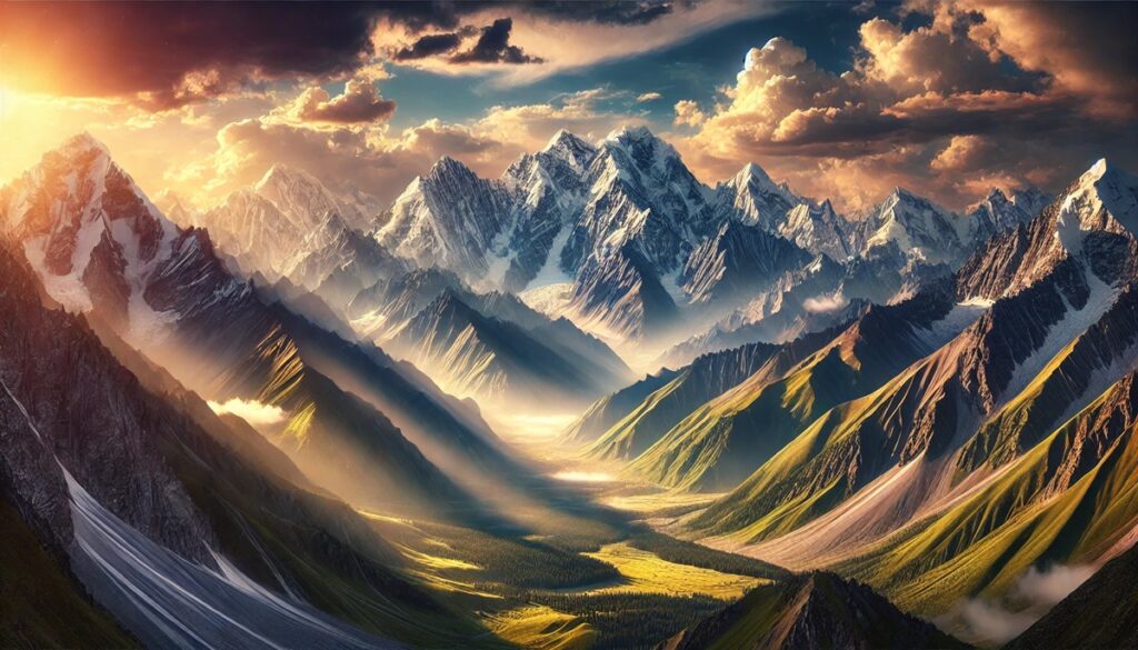
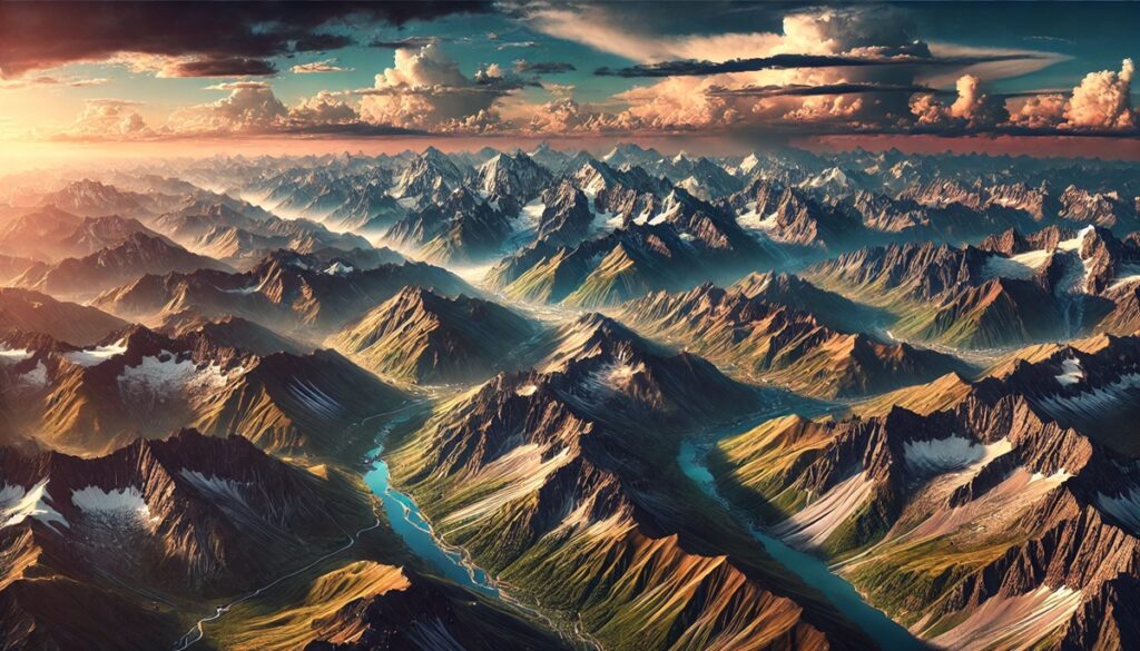
Africa, often celebrated for its sweeping deserts and savannas, is also home to some of the world’s most striking mountain ranges. These ranges are not only breathtaking geological features but also hold deep historical, cultural, and ecological significance. From ancient volcanic formations to towering peaks, Africa’s mountain ranges offer a glimpse into the continent’s dynamic past and present. Here are the top 10 mountain ranges in Africa, ranked by size, and their incredible stories of natural and human history.
#1: Atlas Mountains – 1,600 Miles
The Atlas Mountains stretch 1,600 miles across Morocco, Algeria, and Tunisia, forming a natural barrier between the Mediterranean coast and the Sahara Desert. These rugged mountains are known for their dramatic landscapes, including rocky plateaus, lush valleys, and snow-capped peaks like Mount Toubkal, the tallest peak in North Africa at 13,671 feet. The Berber people have called these mountains home for centuries, and their villages and terraced fields blend seamlessly with the terrain. The Atlas Mountains are also home to unique flora and fauna, including the endangered Barbary macaque.
#2: Drakensberg Mountains – 700 Miles
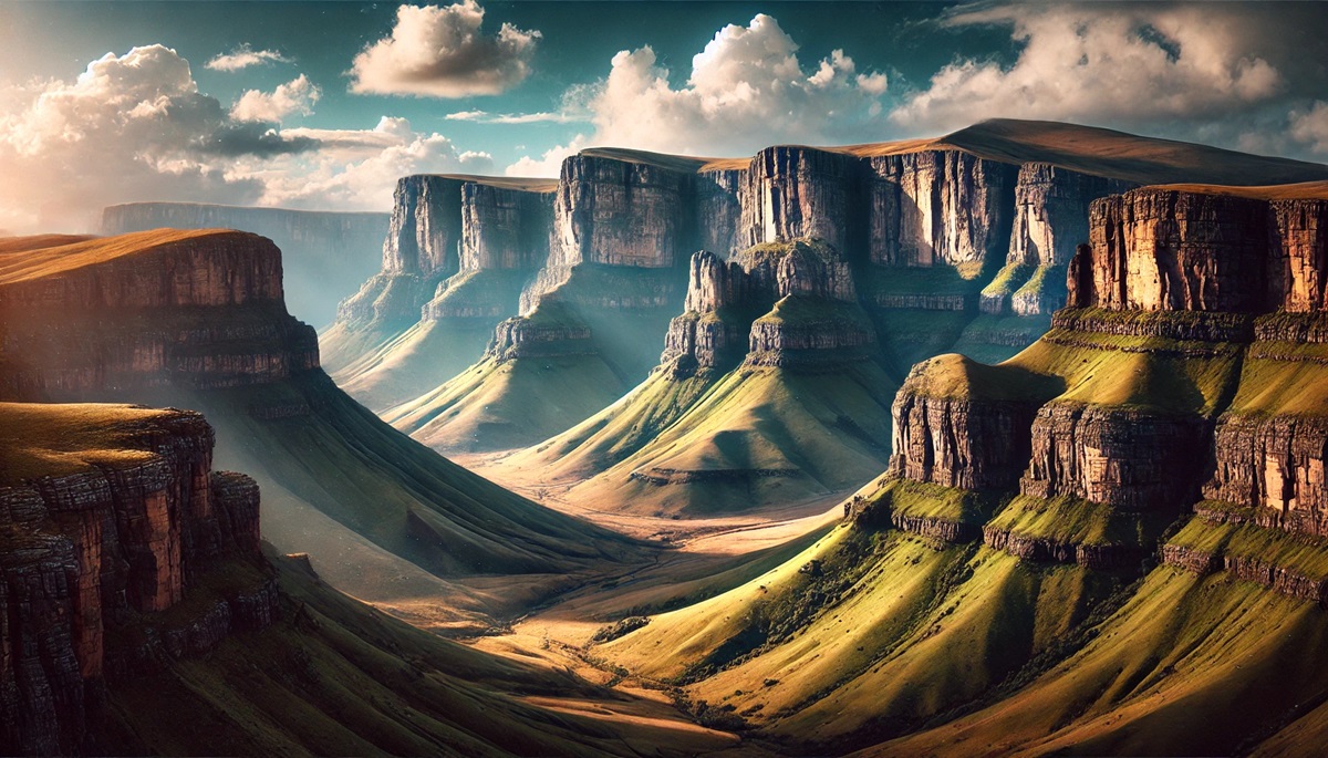
The Drakensberg Mountains, meaning “Dragon’s Mountain” in Afrikaans, extend 700 miles through South Africa and Lesotho. These towering peaks are characterized by dramatic basalt cliffs and sweeping grasslands. The highest point, Thabana Ntlenyana, reaches 11,424 feet. The Drakensberg is steeped in Zulu mythology and features ancient rock art by the San people. The range’s escarpments are a haven for hikers and climbers, offering breathtaking views of the surrounding landscape.

#3: Ethiopian Highlands – 620 Miles
Often called the “Roof of Africa,” the Ethiopian Highlands cover 620 miles and dominate much of Ethiopia’s landscape. These rugged mountains are a source of the Blue Nile River and are rich in history, with ancient monasteries and castles dotting their peaks. The Simien Mountains, part of this range, are a UNESCO World Heritage Site and home to unique species like the Ethiopian wolf and the gelada baboon.
#4: Rwenzori Mountains – 75 Miles
The Rwenzori Mountains, often referred to as the “Mountains of the Moon,” rise along the border of Uganda and the Democratic Republic of Congo. Despite their modest length of 75 miles, they are renowned for their glacial peaks and lush alpine landscapes. Mount Stanley, at 16,763 feet, is the range’s tallest peak and Africa’s third-highest. The Rwenzoris are a biodiversity hotspot, with unique flora such as giant lobelias and heathers.
#5: Mount Kenya Massif – 40 Miles
Mount Kenya, Africa’s second-highest peak at 17,057 feet, forms a massif stretching roughly 40 miles. This extinct volcano in central Kenya boasts dramatic glaciers and forested slopes. The Kikuyu people consider Mount Kenya sacred and believe it to be the home of their god, Ngai. The surrounding national park is a haven for climbers and nature lovers alike.
#6: Virunga Mountains – 50 Miles
The Virunga Mountains straddle Rwanda, Uganda, and the Democratic Republic of Congo, stretching 50 miles. This volcanic range is famous for its endangered mountain gorillas, which inhabit the dense forests of the Virunga National Park. Mount Karisimbi, the tallest peak, rises to 14,787 feet. The region is also known for its active volcanoes, including Mount Nyiragongo, with its spectacular lava lake.
#7: Ahaggar Mountains – 330 Miles
Located in southern Algeria, the Ahaggar Mountains, or Hoggar Mountains, span 330 miles across the heart of the Sahara Desert. These ancient volcanic formations are characterized by rugged peaks and sandstone plateaus. The highest point, Mount Tahat, stands at 9,541 feet. The Ahaggar is a cultural landmark for the Tuareg people, whose traditions and way of life are deeply connected to this arid landscape.
#8: Eastern Arc Mountains – 600 Miles
The Eastern Arc Mountains stretch 600 miles through Tanzania and Kenya, comprising multiple smaller ranges like the Usambara and Uluguru. Known for their biodiversity, these ancient mountains are home to many endemic species of plants and animals. They are often referred to as Africa’s “Galápagos Islands” due to their isolated ecosystems.
#9: Tibesti Mountains – 310 Miles
The Tibesti Mountains rise from the Sahara Desert in northern Chad and southern Libya, covering 310 miles. This volcanic range includes Emi Koussi, the tallest peak in the Sahara at 11,302 feet. The Tibesti is known for its extreme remoteness and ancient petroglyphs, offering a glimpse into the lives of early desert dwellers.
#10: Kilimanjaro Massif – 50 Miles
Mount Kilimanjaro, Africa’s tallest peak at 19,341 feet, dominates the Tanzanian landscape. Though relatively small at 50 miles in length, the Kilimanjaro massif is a world-famous icon. This dormant volcano features three cones: Kibo, Mawenzi, and Shira. Its snow-capped summit is a beacon for climbers worldwide, while its slopes host rich ecosystems ranging from rainforests to alpine deserts.
Africa’s mountain ranges are as diverse as the continent itself, offering breathtaking landscapes, rich histories, and ecological treasures. From the towering Kilimanjaro to the ancient Atlas, these ranges not only define Africa’s geography but also hold the stories of its people, cultures, and natural wonders. They continue to inspire explorers, conservationists, and anyone who seeks the thrill of the heights.
More Great Top 10’s
Mountain Ranges and Maps
Learn more about Maps
- Topographical Maps: Representation of the physical features of a region or area.
- Contour Maps: Representation of the contours of the land surface or ocean floor.
- Raised Relief Maps: Representation of land elevations with raised features indicating landforms.
- Terrain Maps: Representation of the physical features of a terrain or landmass.
- USGS Topographic Maps: Representation of topographic features and land elevations based on USGS data.
- USGS Historical Topographic Maps: Representation of historical topographic maps created by the USGS.
- Watershed Maps: Representation of the areas where water flows into a particular river or lake.
- Elevation Maps: Representation of land and water elevations with high precision.
- Physical Maps: Representation of physical features of the Earth’s surface such as landforms, oceans, and plateaus.
- Bathymetric Maps: Representation of the topography and features of the ocean floor.
- NOAA Maps: Representation of atmospheric, oceanographic, and environmental data by NOAA.
- Nautical Maps: Representation of the underwater features and depth of an area for navigation purposes.
- Geologic Maps: Representation of the geologic features of an area such as rock types, faults, and folds.
- Satellite Maps: Representation of earth from high-definition satellite imagery.
Contact us today to learn more about our services and how we can help you achieve your goals.


