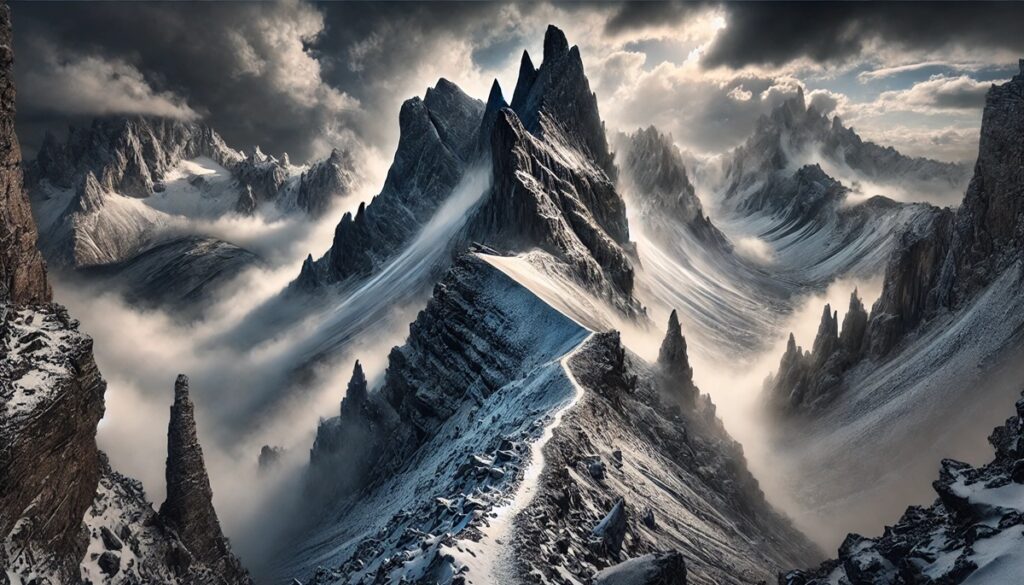
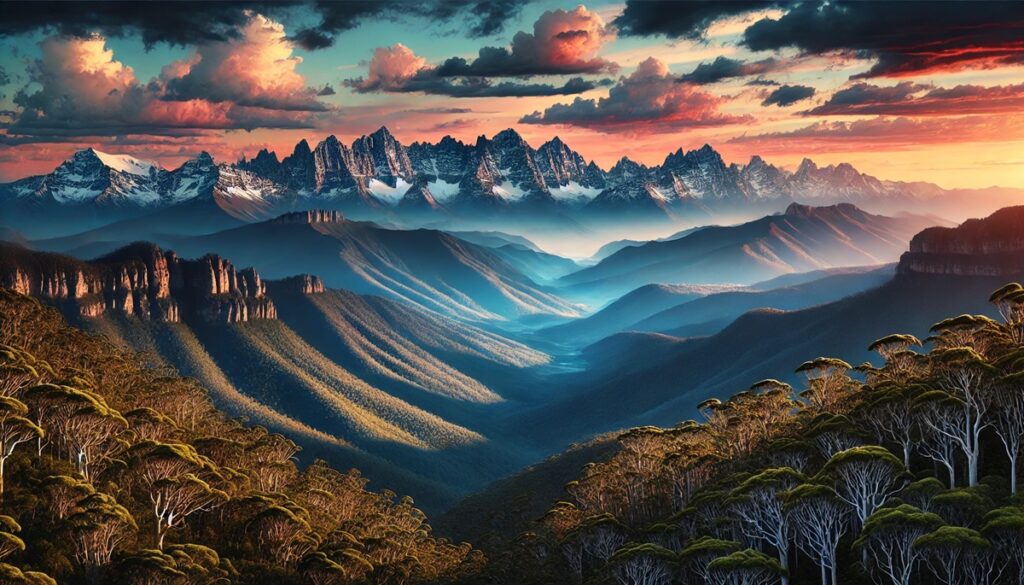
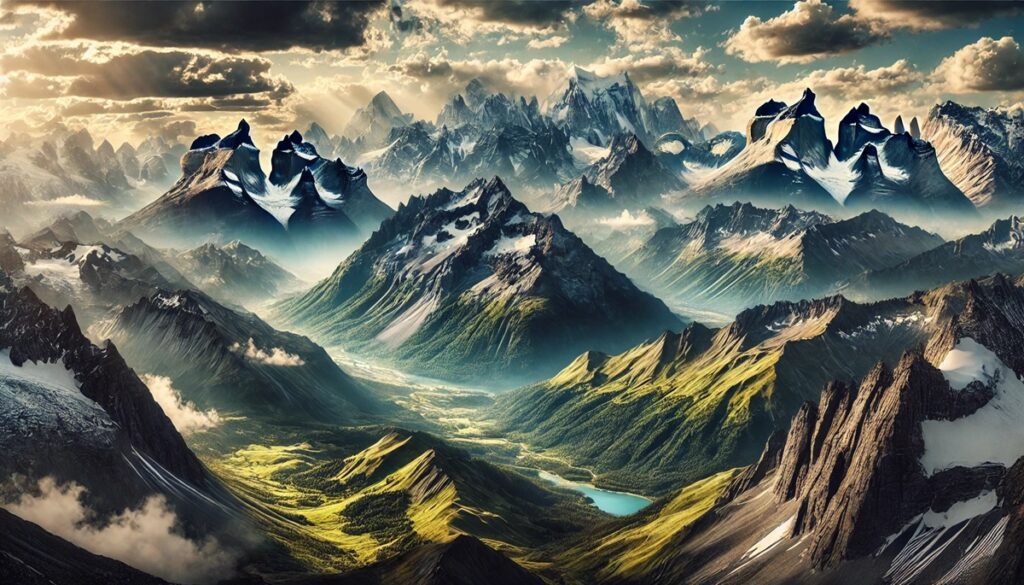
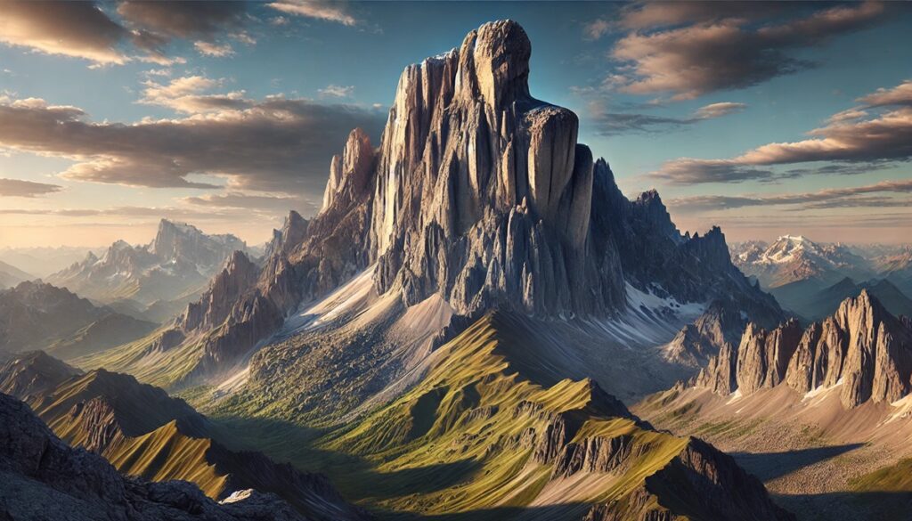
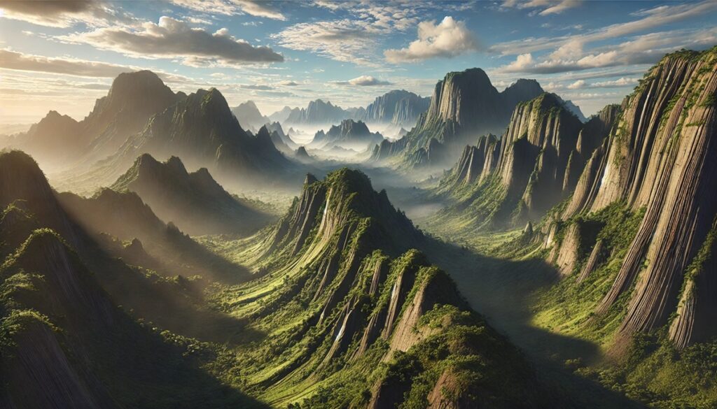
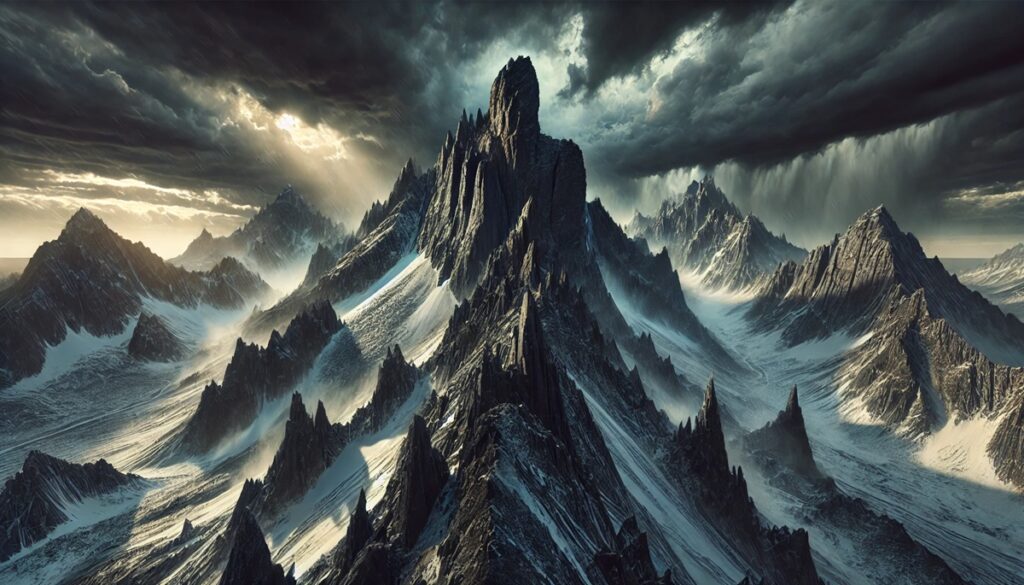
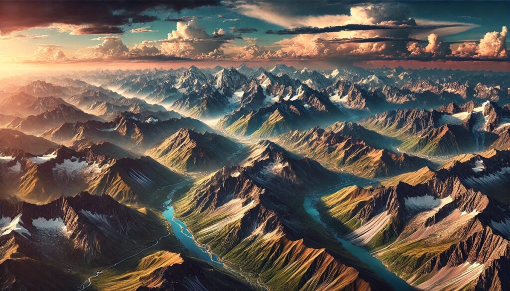
Mountains and maps share an intricate dance of exploration and imagination, one tracing the contours of nature’s grandeur, the other guiding human curiosity. A map is more than ink on paper; it is a story waiting to unfold, its lines mimicking the jagged edges of peaks, the shadowed depths of valleys, and the serpentine flow of rivers born from glaciers. Each mountain range drawn on a map whispers of uncharted paths, secret ridges, and the promise of discovery, whether through the eyes of an adventurer or the dreams of a cartographer who etched their vision onto the parchment. Mountains on maps are symbols of both conquest and humility, their towering presence reminding us of nature’s scale and endurance. To trace a finger over their curves is to imagine standing at the summit, feeling the thin air and the endless sky. Maps turn mountains into puzzles, waiting for explorers to piece together their trails and elevations, while mountains turn maps into artifacts of wonder, preserving humanity’s relentless quest to understand the earth’s wild and beautiful heart.
Top 10 Mountain Ranges Shaped by Glaciers
Top 10 Mountain Ranges Shaped by Glaciers
WhiteClouds builds 3D Raised Relief Maps
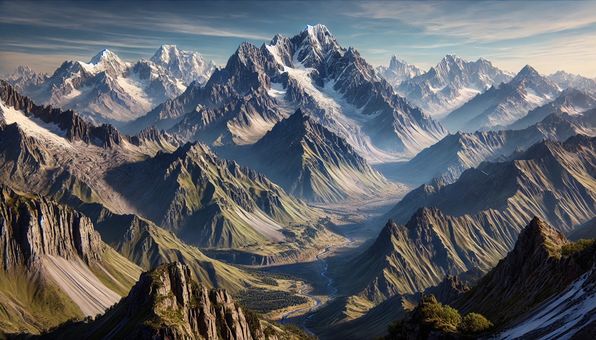
The world’s mountain ranges are more than majestic landscapes; they are living records of Earth’s geological and climatic history. Many of these mountains owe their stunning shapes to the slow yet transformative work of glaciers. Over millennia, glaciers carved valleys, formed rugged peaks, and sculpted breathtaking terrains, leaving behind features that now captivate hikers, geologists, and adventurers alike. Here, we explore 10 of the most significant mountain ranges shaped by glaciers, ranked by size. These stories of ice and stone will inspire awe and appreciation for the power of nature.
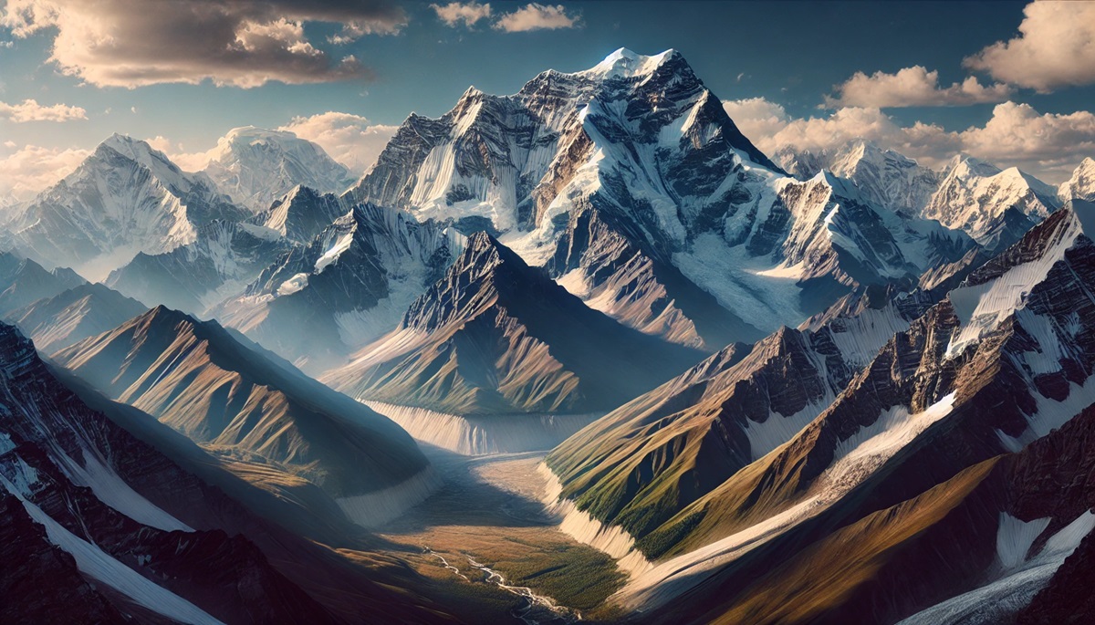
#1: Himalayas (1,500 Miles Long)
The Himalayas, spanning 1,500 miles across Asia, are the crown jewel of glacially sculpted ranges. Towering peaks like Mount Everest and Kanchenjunga dominate the landscape, while deep valleys and sharp ridges testify to the influence of ancient glaciers. These mountains serve as a critical water source for millions through rivers like the Ganges and Indus, fed by glacial melt. Legends abound in the Himalayas, such as the yeti tales passed down by Sherpa communities. The range’s history is tied to the collision of the Indian and Eurasian tectonic plates 50 million years ago, a process still ongoing today. The Himalayas are not only a climber’s dream but also a sacred site for Hindus and Buddhists, adding spiritual significance to their rugged beauty.
#2: Andes (4,300 Miles Long)
Though primarily volcanic, the Andes Mountains bear significant glacial imprints, particularly in the southern regions of Patagonia. Stretching 4,300 miles along South America’s western edge, the Andes are home to stunning fjords, U-shaped valleys, and cirques formed by glaciers during the last Ice Age. Glaciers like Perito Moreno and Upsala are famous for their dramatic calving events. Local legends tell of ancient Inca messengers navigating treacherous passes, guided by the stars and glaciers alike. The Andes’ geological history is a confirmation to tectonic uplift and glacial sculpting, creating an environment where life thrives despite harsh conditions.
#3: Rocky Mountains (3,000 Miles Long)
The Rocky Mountains stretch 3,000 miles across North America, from Canada to New Mexico. The Rockies are a showcase of glacial artistry, with prominent features like Glacier National Park’s jagged peaks and turquoise lakes. Ice Age glaciers carved valleys and left behind iconic landmarks like the Great Divide. Indigenous peoples, including the Blackfeet and Crow tribes, hold the Rockies sacred, with stories of creation tied to these icy heights. The range’s history began nearly 70 million years ago during the Laramide Orogeny, with glaciation adding the finishing touches to its current form. Adventurers flock to the Rockies for hiking, skiing, and a glimpse of untouched wilderness.
#4: Alps (750 Miles Long)
The Alps, spanning 750 miles through Europe, are synonymous with glacial landscapes. Renowned for their postcard-perfect scenery, the Alps feature massive glaciers like the Aletsch, the largest in the region. These glaciers carved dramatic valleys, creating the quintessential Alpine charm of steep peaks and cozy villages. Stories of daring rescues by mountaineers and the region’s role as a battleground during World War I add a human dimension to its natural beauty. Formed over 65 million years ago, the Alps are still rising, a dynamic range shaped by both tectonics and ice.
#5: Karakoram (300 Miles Long)
The Karakoram Range, located in northern Pakistan, India, and China, spans roughly 300 miles and houses some of the world’s largest glaciers outside the poles, such as the Siachen Glacier. Its peaks, including K2, are a confirmation to the power of glaciation, with steep ridges and towering spires shaped by ice and snow. Known as the “Savage Mountain,” K2 has claimed many climbers’ lives, and its icy ridges continue to challenge the bravest adventurers. Glaciers in this range are vital water sources for millions, emphasizing their ecological importance
#6: Alaska Range (400 Miles Long)
The Alaska Range stretches 400 miles and is home to Denali, North America’s tallest peak at 20,310 feet. Glaciers like Kahiltna and Ruth dominate the landscape, carving vast canyons and feeding rivers that sustain Alaskan ecosystems. Stories of early explorers like Hudson Stuck and their daring ascents highlight the challenges posed by the range’s extreme conditions. Denali’s glacial history reflects a unique combination of Arctic climate and tectonic activity, creating one of the most awe-inspiring ranges in the world.
#7: Scandinavian Mountains (1,100 Miles Long)
The Scandinavian Mountains, stretching 1,100 miles through Norway and Sweden, are a land of fjords, plateaus, and glacial valleys. Ancient ice sheets sculpted this range, leaving behind iconic features like Norway’s Trolltunga and Jotunheimen peaks. Norse mythology is deeply rooted in the region, with tales of giants said to inhabit these rugged landscapes. The history of this range includes both glacial erosion and uplift, with its current form serving as a playground for adventurers and a refuge for wildlife.
#8: Southern Alps (310 Miles Long)
New Zealand’s Southern Alps stretch 310 miles across the South Island, showcasing glacial splendor through features like Franz Josef and Fox Glaciers. These glaciers descend into temperate rainforests, creating a unique juxtaposition of ice and greenery. Māori legends speak of the god Aoraki and his frozen tears forming these mountains. The range’s formation is tied to tectonic uplift along the Pacific and Australian plates, with glaciers adding their signature carvings over millennia.
#9: Sierra Nevada (400 Miles Long)
The Sierra Nevada, spanning 400 miles in the western United States, is a witness to glacial artistry. Landmarks like Yosemite Valley and Lake Tahoe owe their existence to Ice Age glaciers. Stories of the Gold Rush and John Muir’s conservation efforts bring a rich cultural history to the Sierra Nevada’s natural wonders. The range’s geological evolution, driven by volcanic activity and glaciation, continues to inspire millions who visit its trails and vistas.
#10: Cascade Range (700 Miles Long)
The Cascade Range, running 700 miles through the Pacific Northwest, is shaped by volcanic activity and glaciation. Iconic peaks like Mount Rainier and Mount Hood host glaciers that feed vital river systems. Indigenous lore attributes the range’s creation to quarrels among ancient spirits. The range’s history is intertwined with its volcanic origins, but glaciation has added depth and drama to its breathtaking terrain.
From the towering Himalayas to the glacial valleys of the Sierra Nevada, these ranges highlight the transformative power of glaciers. They serve as a reminder of the interplay between Earth’s forces, creating landscapes that are as functional as they are beautiful. These mountain ranges not only inspire exploration but also demand stewardship, ensuring their preservation for generations to come.
More Great Top 10’s
Mountains and Maps
- Topographical Maps: Representation of the physical features of a region or area.
- Contour Maps: Representation of the contours of the land surface or ocean floor.
- Raised Relief Maps: Representation of land elevations with raised features indicating landforms.
- Terrain Maps: Representation of the physical features of a terrain or landmass.
- USGS Topographic Maps: Representation of topographic features and land elevations based on USGS data.
- USGS Historical Topographic Maps: Representation of historical topographic maps created by the USGS.
- Watershed Maps: Representation of the areas where water flows into a particular river or lake.
- Elevation Maps: Representation of land and water elevations with high precision.
- Physical Maps: Representation of physical features of the Earth’s surface such as landforms, oceans, and plateaus.
- Bathymetric Maps: Representation of the topography and features of the ocean floor.
- NOAA Maps: Representation of atmospheric, oceanographic, and environmental data by NOAA.
- Nautical Maps: Representation of the underwater features and depth of an area for navigation purposes.
- Geologic Maps: Representation of the geologic features of an area such as rock types, faults, and folds.
- Satellite Maps: Representation of earth from high-definition satellite imagery.
Contact us today to learn more about our services and how we can help you achieve your goals.


