Top 10 Rivers in Africa
Top 10 Rivers in Africa
WhiteClouds builds 3D Raised Relief Maps
Africa’s rivers are some of the most fascinating and vital waterways in the world. They flow through diverse landscapes, from dense rainforests and vast deserts to bustling cities and remote wilderness. These rivers have not only shaped the geography of the continent but also its history, cultures, and economies. From ancient civilizations that flourished along their banks to modern infrastructure and ecological wonders, Africa’s rivers are lifelines that continue to inspire awe and curiosity. Here are the top 10 rivers in Africa, ranked by length and showcasing their remarkable features and histories.
#1: Nile River – 4,135 Miles
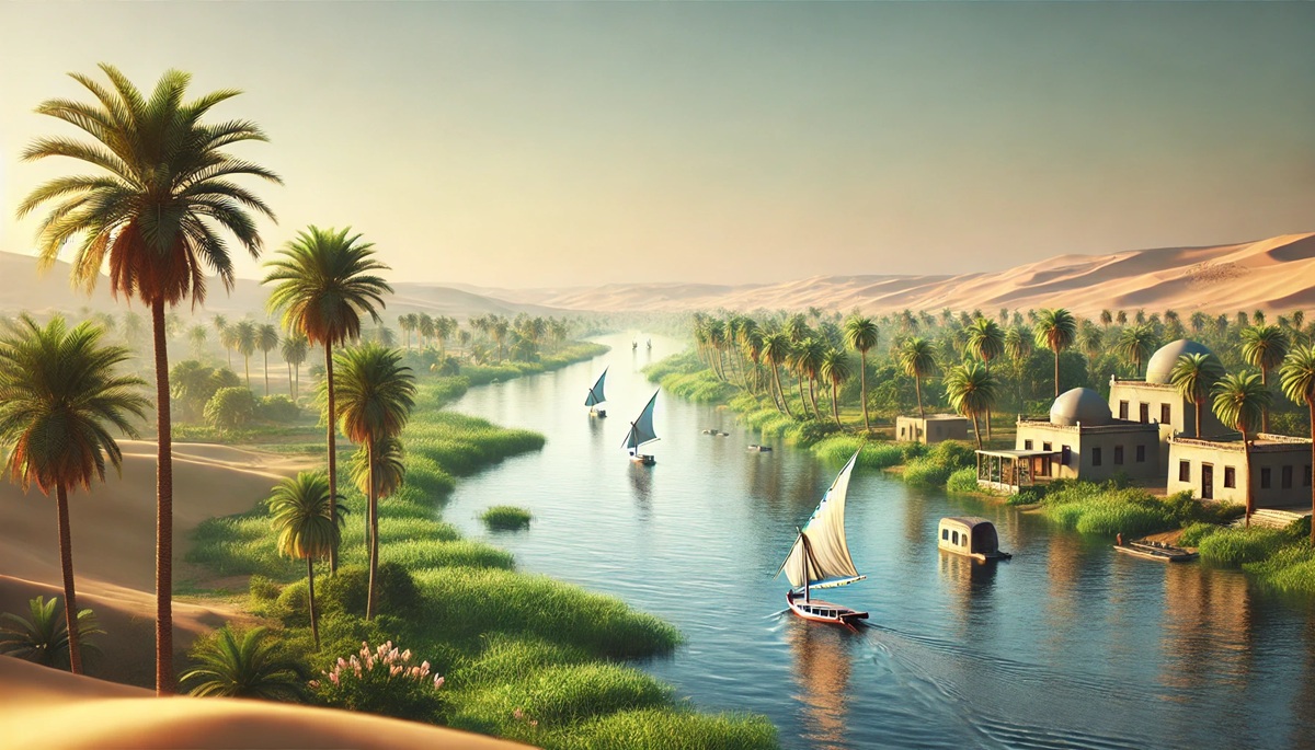
The Nile River is the longest river in the world, stretching 4,135 miles across northeastern Africa. It flows through 11 countries, including Egypt, Sudan, and Ethiopia, before emptying into the Mediterranean Sea. The river’s significance dates back thousands of years, as it was the lifeblood of ancient Egyptian civilization. Its annual flooding deposited fertile silt on the surrounding land, enabling agriculture to thrive in an otherwise arid region. The Nile is also steeped in mythology, revered as a source of life and power by ancient cultures. Today, the Nile remains a vital resource for water, transportation, and hydroelectric power. However, it is also a subject of modern geopolitical tensions due to competing demands for its waters. From its majestic flow past the pyramids to its tranquil cataracts in Sudan, the Nile embodies the timeless connection between humanity and nature.
#2: Congo River – 2,920 Miles
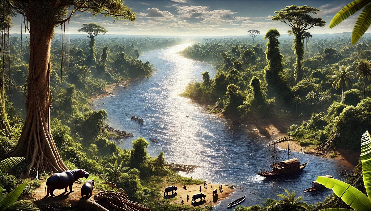
The Congo River is Africa’s second-longest river, measuring 2,920 miles, and the world’s deepest, plunging over 720 feet in some sections. Originating in the highlands of the East African Rift, it flows through the heart of the Congo Rainforest before emptying into the Atlantic Ocean. The Congo’s basin is a biodiversity hotspot, home to iconic wildlife such as gorillas, elephants, and bonobos. It also holds immense cultural significance, as its waters have supported countless communities for centuries. Historically, the river was a key artery for the Kingdom of Kongo and later became a major trade route during the colonial period. The Congo’s turbulent rapids and cascades make parts of it unnavigable, but they also generate immense hydroelectric potential. Its beauty and power have inspired numerous explorers and writers, capturing the imagination of anyone who ventures near its mighty waters.
#3: Niger River – 2,600 Miles
The Niger River spans 2,600 miles, flowing in a distinctive boomerang shape from Guinea through Mali, Niger, and Nigeria before reaching the Gulf of Guinea. It is a lifeline for millions of people, supporting agriculture, fishing, and transportation. The Niger’s waters also sustain the Inner Niger Delta, one of Africa’s largest wetlands and a critical habitat for migratory birds. Historically, the river was a key trade route for the ancient empires of Mali and Songhai, linking the Sahara to the lush southern regions. The annual flooding of the Niger Delta has long been a crucial event for local farmers, replenishing the soil and ensuring food security. Despite modern challenges like pollution and climate change, the Niger remains a symbol of resilience and prosperity for the communities that depend on it.
#4: Zambezi River – 1,599 Miles
The Zambezi River stretches 1,599 miles through six countries in southern Africa, including Zambia, Zimbabwe, and Mozambique. Its most famous feature is Victoria Falls, one of the largest and most spectacular waterfalls in the world, known locally as Mosi-oa-Tunya or “The Smoke That Thunders.” The river is also home to rich biodiversity, from hippos and crocodiles to migratory fish and birds. Historically, the Zambezi was an important route for explorers like David Livingstone, who brought international attention to the region. Today, it is a vital resource for hydroelectric power, with dams like Kariba and Cahora Bassa providing energy to millions. The Zambezi’s beauty and power make it a natural wonder that captivates all who encounter it.
#5: Orange River – 1,367 Miles
The Orange River flows 1,367 miles through southern Africa, from the Drakensberg Mountains in Lesotho to the Atlantic Ocean. It serves as a natural boundary between Namibia and South Africa, playing a key role in the region’s history and development. The river’s waters support irrigation and mining activities, making it an economic backbone for the area. Despite its arid surroundings, the Orange River nurtures pockets of life along its course, creating a stark contrast with the surrounding desert landscapes. Legends of hidden treasures buried in its sands add a sense of intrigue to its already fascinating story.
#6: Limpopo River – 1,087 Miles
The Limpopo River flows 1,087 miles through southern Africa, passing through Botswana, Zimbabwe, South Africa, and Mozambique. Known as the “Crocodile River” in local lore, it is home to diverse wildlife and a crucial water source for agriculture and industry. The Limpopo has inspired poets and explorers alike, including Rudyard Kipling, who immortalized it in “The Elephant’s Child.” Its historical significance is also notable, as it served as a trade route connecting the Indian Ocean to the interior.
#7: Senegal River – 1,086 Miles
The Senegal River flows 1,086 miles through West Africa, forming a natural border between Senegal and Mauritania. It has been a lifeline for communities along its banks for centuries, supporting agriculture, fishing, and transportation. The river also holds cultural significance, with local traditions and folklore celebrating its role as a source of sustenance and inspiration. The Senegal River Valley has a rich history, including ties to the ancient Ghana Empire and the trans-Saharan trade routes.
#8: Blue Nile – 879 Miles
The Blue Nile flows 879 miles from Lake Tana in Ethiopia to Sudan, where it merges with the White Nile to form the Nile proper. It contributes the majority of the Nile’s water and silt, making it a critical component of the river’s ecosystem. The Blue Nile Gorge is a breathtaking feature, rivaling the Grand Canyon in its sheer scale. The river has been central to Ethiopian history and culture, with ancient texts and traditions celebrating its importance.
#9: Kasai River – 863 Miles
The Kasai River, a tributary of the Congo, flows 863 miles through Angola and the Democratic Republic of Congo. It is a vital waterway for transportation and trade, connecting remote regions to larger economic centers. The river is also known for its diamond-rich sands, which have fueled both prosperity and conflict in the region. Its lush surroundings support diverse ecosystems and communities that rely on its resources.
#10: Okavango River – 620 Miles
The Okavango River flows 620 miles through Angola, Namibia, and Botswana, culminating in the Okavango Delta, one of the world’s largest inland deltas. This unique river does not flow into the sea but instead disperses into the Kalahari Desert, creating a lush oasis teeming with wildlife. The delta is a UNESCO World Heritage Site and a major draw for eco-tourism, offering unparalleled opportunities to see Africa’s iconic animals in their natural habitat.
Africa’s rivers are not just natural features; they are lifelines that sustain ecosystems, cultures, and economies across the continent. From the mighty Nile to the tranquil Okavango, each river tells a story of resilience, beauty, and the enduring relationship between water and life. Exploring these rivers reveals the profound impact they have had on shaping Africa’s history and future, inspiring awe and reverence for their timeless flow.


