Top 10 Rivers in South America
Top 10 Rivers in South America
WhiteClouds builds 3D Raised Relief Maps
South America is a continent of natural wonders, and its rivers are no exception. These waterways carve through jungles, mountains, and plains, shaping the landscapes and cultures they touch. From the mighty Amazon to the snaking Orinoco, South America’s rivers are lifelines for ecosystems and civilizations, carrying rich histories and tales of exploration. This list highlights the top 10 rivers in South America, ranked by size, with an exploration of their significance, unique features, and the stories they’ve inspired.
#1: Amazon River – 4,345 Miles
The Amazon River is the longest river in South America and one of the longest in the world, stretching approximately 4,345 miles. Its journey begins in the Andes Mountains of Peru and winds through Brazil before emptying into the Atlantic Ocean. The Amazon’s basin is home to the world’s largest tropical rainforest, teeming with unparalleled biodiversity. The river holds more water than the next seven largest rivers combined, earning it the title of the most voluminous river on Earth. The Amazon has inspired countless myths, including tales of the elusive pink river dolphin and tribes deep in its uncharted regions. It has been the backdrop for epic expeditions, such as Francisco de Orellana’s perilous journey in the 16th century. The Amazon is not just a river; it’s a symbol of life, mystery, and the unyielding power of nature.
#2: Paraná River – 3,032 Miles
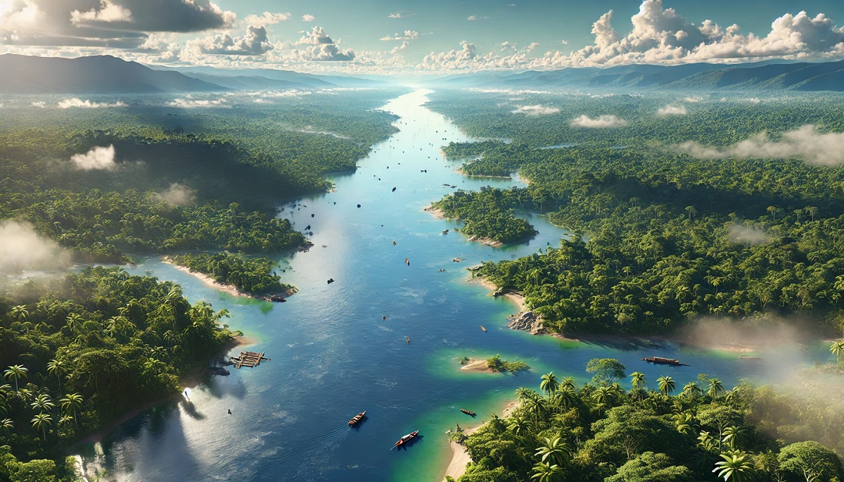
The Paraná River spans 3,032 miles, flowing through Brazil, Paraguay, and Argentina before merging with the Río de la Plata estuary. It is the second-longest river in South America and a vital waterway for trade, energy, and agriculture. The Paraná is home to the Itaipu Dam, one of the largest hydroelectric plants in the world, which provides power to Brazil and Paraguay. The river supports a vibrant ecosystem, including migratory fish species like the dorado and pacu. Anecdotes of fishing communities along its banks reflect the deep connection between the river and local cultures. The Paraná’s expansive wetlands, such as the Iberá Wetlands, are critical habitats for rare species like the marsh deer and the maned wolf.
#3: Madeira River – 2,020 Miles
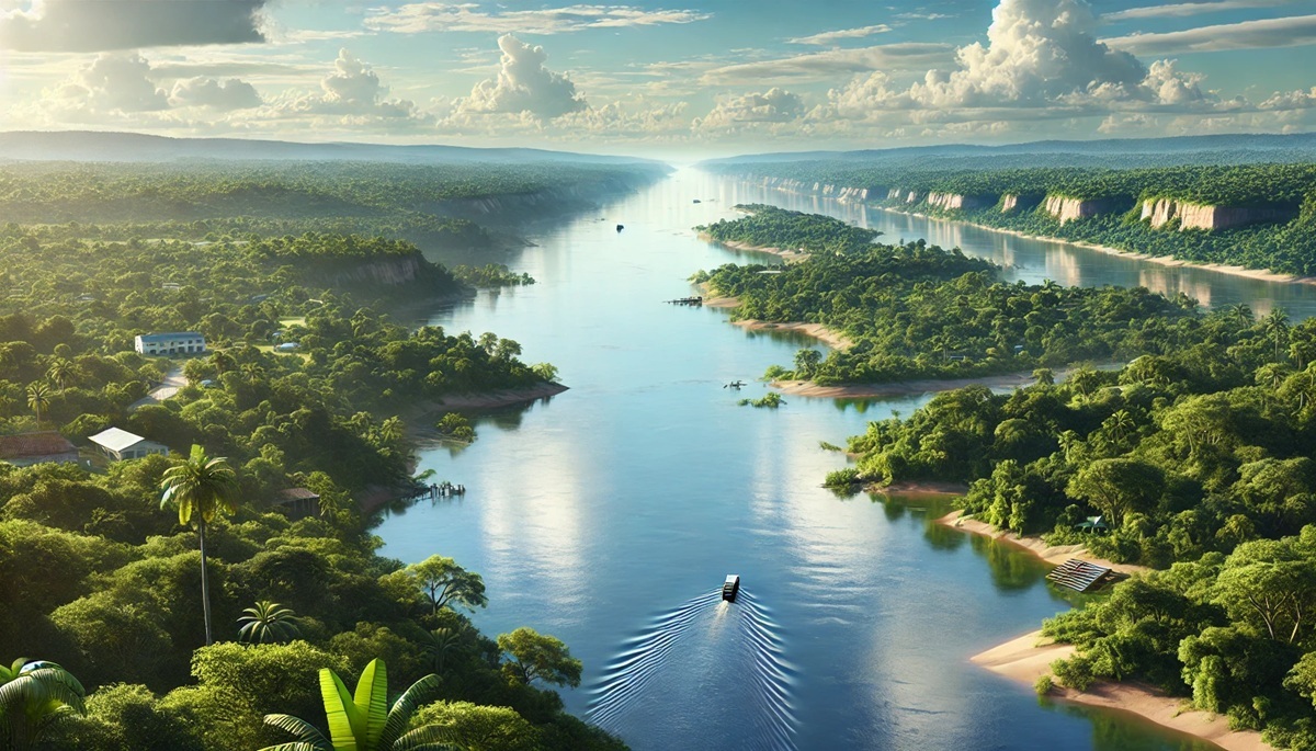
A tributary of the Amazon, the Madeira River stretches 2,020 miles through Bolivia and Brazil. It is one of the Amazon Basin’s most important waterways, supporting transportation and commerce in remote regions. The river is renowned for its biodiversity, with species like piranhas, giant otters, and pink dolphins inhabiting its waters. Historical accounts of rubber barons navigating the Madeira during the rubber boom highlight its economic significance. The Madeira River also features powerful rapids and waterfalls, making it both a lifeline and a challenge for those who rely on it.
#4: Purus River – 1,995 Miles
The Purus River flows 1,995 miles through Peru and Brazil, winding through lush Amazonian forests. Known for its meandering path, the river is a haven for wildlife, including jaguars, anacondas, and countless bird species. It has been a lifeline for Indigenous communities for centuries, providing food, transportation, and spiritual significance. Anecdotes of researchers discovering new species along the Purus emphasize its role as a hotspot for scientific exploration. The river’s serene beauty and ecological importance make it a treasure of the Amazon Basin.
#5: Orinoco River – 1,700 Miles
The Orinoco River flows 1,700 miles through Venezuela and Colombia, forming one of the most important river systems in South America. Its delta is a UNESCO Biosphere Reserve, supporting mangroves, wetlands, and diverse wildlife. The Orinoco has inspired legends of El Dorado, the mythical city of gold, which lured countless explorers into its depths. It is also home to the Orinoco crocodile, one of the largest reptiles in the world. The river’s historical and cultural significance is deeply woven into the fabric of Venezuela’s identity.
#6: São Francisco River – 1,600 Miles
The São Francisco River, known as the “River of National Integration,” flows 1,600 miles through eastern Brazil. It is a critical resource for irrigation, transportation, and energy, with several hydroelectric dams along its course. The river has been a cultural touchstone for Brazilian folklore, featuring prominently in songs, literature, and art. Its unique landscapes, including cascading waterfalls and the São Francisco Canyon, attract tourists and adventurers alike. The river’s historical role in linking Brazil’s interior to its coastal regions underscores its enduring importance.
#7: Tocantins River – 1,550 Miles
The Tocantins River spans 1,550 miles through central and northern Brazil, serving as a vital waterway for agriculture and transportation. The river supports a range of ecosystems, from cerrado savannas to lush rainforests. Anecdotes of fishing along its banks highlight its role in sustaining local communities. The Tocantins is also home to the Tucuruí Dam, one of the largest hydroelectric projects in Brazil. Its combination of natural beauty and economic importance makes it a key feature of the Brazilian landscape.
#8: Paraguay River – 1,584 Miles
The Paraguay River, stretching 1,584 miles, flows through Brazil, Bolivia, Paraguay, and Argentina. It is the lifeblood of the Pantanal, the world’s largest tropical wetland, which boasts unparalleled biodiversity. Stories of jaguars prowling the riverbanks and giant otters playing in its waters underscore the region’s ecological richness. The river also serves as a major trade route and has been central to the cultures and histories of the nations it traverses.
#9: Uruguay River – 1,142 Miles
The Uruguay River flows 1,142 miles through Brazil, Argentina, and Uruguay, forming a natural boundary between the countries. Its waters are crucial for agriculture, energy production, and transportation. The river’s scenic beauty, including lush forests and rolling hills, attracts tourists and outdoor enthusiasts. Anecdotes of traditional riverboat journeys and fishing expeditions highlight the Uruguay River’s role in shaping the region’s heritage.
#10: Rio Negro – 1,386 Miles
The Rio Negro, a major tributary of the Amazon, stretches 1,386 miles through Colombia, Venezuela, and Brazil. Its name, meaning “Black River,” comes from its dark, tea-colored waters, caused by organic matter from surrounding forests. The Rio Negro is a gateway to the Amazon and an important corridor for biodiversity. Stories of explorers navigating its mysterious waters add to its allure. The river’s unique characteristics and ecological significance make it a fascinating part of the Amazon Basin.
South America’s rivers are more than waterways; they are lifelines that sustain ecosystems, cultures, and economies. From the mighty Amazon to the tranquil Rio Negro, these rivers connect the continent’s diverse landscapes and histories. Exploring their stories reveals the profound relationship between nature and humanity, offering a glimpse into the forces that shape our world.


