Top 10 Satellite Maps
Top 10 Satellite Maps
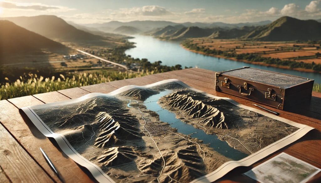
WhiteClouds builds 3D Raised Relief Maps
Satellite maps have revolutionized the way we view and interact with our world, offering unprecedented perspectives of Earth from space. These maps provide detailed imagery of terrain, vegetation, urban areas, and even the ocean floor, enabling advancements in navigation, environmental monitoring, and disaster management. From large-scale global coverage to localized high-resolution imaging, satellite maps have reshaped cartography and inspired countless innovations. Here are the top 10 satellite maps that have transformed our understanding of the Earth.
#1: Landsat Program – Over 57 Million Square Miles
The Landsat Program, initiated in 1972, is the longest-running satellite imagery project, covering the entire Earth’s surface multiple times with a resolution of 98 feet. Spanning over 57 million square miles, Landsat provides detailed data on land use, vegetation, and geological features. Its imagery is used for monitoring deforestation, urban expansion, and climate change.
One fascinating story involves the use of Landsat data to discover ancient river channels beneath the Sahara Desert. This imagery has helped archaeologists uncover forgotten civilizations and understand how climate has shaped human history.

#2: Google Earth – Global Coverage
Google Earth, launched in 2005, offers an interactive platform with satellite imagery covering the entire planet. The tool combines high-resolution data with user-friendly features, allowing individuals to explore cities, mountains, and oceans with a few clicks. Google Earth has transformed education, enabling students and researchers to visualize geographical concepts in real-time.
Anecdotes include adventurers using Google Earth to locate previously unknown caves and remote explorers planning expeditions to uncharted regions. The platform’s ability to integrate satellite data with user input has made it a global phenomenon.

#3: Sentinel-2 – 45 Million Square Miles
Part of the European Space Agency’s Copernicus Program, Sentinel-2 provides high-resolution multispectral imagery, covering 45 million square miles of Earth’s surface. With a resolution of 33 feet, it is crucial for monitoring vegetation, urban areas, and water bodies. Sentinel-2’s bi-weekly global coverage ensures up-to-date data for environmental research.
Sentinel-2 played a pivotal role in assessing damage from wildfires in Australia, helping rescue teams plan and execute recovery efforts effectively. Its precision has made it an essential tool for environmentalists worldwide.
#4: MODIS (Terra and Aqua Satellites) – Global Daily Coverage
The Moderate Resolution Imaging Spectroradiometer (MODIS) aboard NASA’s Terra and Aqua satellites provides daily global imagery with a resolution of up to 820 feet. MODIS maps atmospheric conditions, land cover, and ocean temperature, contributing to climate studies and disaster response.
One notable story involves MODIS’s ability to track volcanic ash clouds, aiding aviation safety by providing real-time updates to pilots and air traffic controllers. Its global reach makes it indispensable for monitoring Earth’s dynamic processes.
#5: Blue Marble – Global High-Resolution Image
NASA’s Blue Marble image series offers a composite of Earth captured in stunning detail. Created using data from MODIS, these maps present a visually striking view of the planet with a resolution of 16,000 feet. The 2002 release of Blue Marble became an iconic representation of Earth in the digital age.
The Blue Marble images are widely used in education and media, symbolizing Earth’s beauty and fragility. Their cultural impact is immense, appearing on posters, websites, and even in popular films.
#6: WorldView-3 – 263 Million Square Miles
Launched by DigitalGlobe in 2014, WorldView-3 provides unparalleled detail with a resolution of 12 inches. Covering 263 million square miles, it is used for urban planning, disaster response, and agricultural monitoring.
Anecdotes include the use of WorldView-3 imagery to assess infrastructure damage after hurricanes, enabling faster recovery efforts. Its high-resolution capabilities continue to redefine precision mapping.
#7: Global Forest Watch – Global Forest Monitoring
Global Forest Watch uses satellite data to monitor deforestation and forest health worldwide. Combining imagery from various sources, it tracks changes in forest cover in near-real time. This platform has been instrumental in conservation efforts and climate change mitigation.
One impactful story involves indigenous communities in the Amazon using Global Forest Watch data to protect their land from illegal logging, showcasing the tool’s empowering potential.
#8: RapidEye – 485 Million Square Miles Annually
RapidEye, a constellation of five satellites, captures 485 million square miles of imagery annually with a resolution of 16 feet. It is primarily used for agricultural monitoring, disaster management, and environmental assessment.
Farmers in Africa have leveraged RapidEye data to optimize crop yields and manage water resources, highlighting the technology’s transformative impact on agriculture.
#9: IKONOS – 149 Million Square Miles
Launched in 1999, IKONOS was the first commercial satellite to provide high-resolution imagery at a 3-foot resolution. Covering 149 million square miles, it revolutionized urban planning, defense, and environmental studies.
IKONOS imagery has been used to study archaeological sites, including ancient ruins in the Middle East, providing invaluable insights into human history.
#10: Copernicus Marine Service – Global Ocean Monitoring
The Copernicus Marine Service offers high-resolution satellite data focused on oceans. Covering global marine environments, it monitors sea surface temperature, currents, and ecosystems. This data supports marine conservation and navigation.
Marine researchers have used Copernicus data to track coral bleaching events, helping formulate strategies to protect vulnerable reef ecosystems. Its focus on ocean health makes it a vital tool for addressing climate challenges.
Satellite maps have transformed the way we understand and interact with our planet, offering detailed views of land, oceans, and atmosphere. From monitoring climate change to aiding disaster recovery, these maps demonstrate the power of technology to inspire exploration and solve global challenges. Each map on this list highlights a unique contribution to the field of cartography, proving that satellite imagery is an indispensable tool in today’s world.


