Top 10 Terrain Maps
Top 10 Terrain Maps
WhiteClouds builds 3D Raised Relief Maps
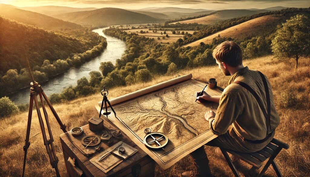
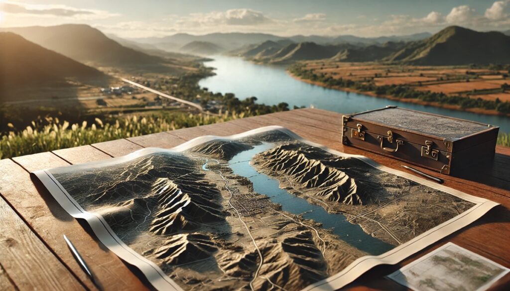
Terrain maps are powerful tools that provide a detailed view of the Earth’s surface, showcasing natural features such as mountains, valleys, rivers, and plains. These maps are essential for navigation, planning, and scientific research, offering a three-dimensional perspective of landscapes on a two-dimensional surface. Over centuries, cartographers have created terrain maps that are as much works of art as they are practical guides. This list of the top 10 terrain maps highlights their significance, detailing their size, history, and the fascinating stories behind their creation.
#1: USGS Topographic Map Series – Over 3 Million Square Miles
The USGS Topographic Map Series is a monumental achievement, covering the entire United States with remarkable precision. Spanning over 3 million square miles, these maps provide detailed representations of the country’s diverse terrain, from the Rocky Mountains to the Great Plains. Created at various scales, the most common being 1:24,000, these maps capture everything from subtle elevation changes to intricate hydrological networks.
First initiated in the late 19th century, the series remains a critical resource for geologists, hikers, and urban planners. Anecdotes from surveyors detail the challenges of mapping rugged and remote areas, often requiring weeks of on-foot exploration. The series continues to evolve, now available in digital formats for easier access and customization.
#2: SwissTopo Maps – 16,000 Square Miles
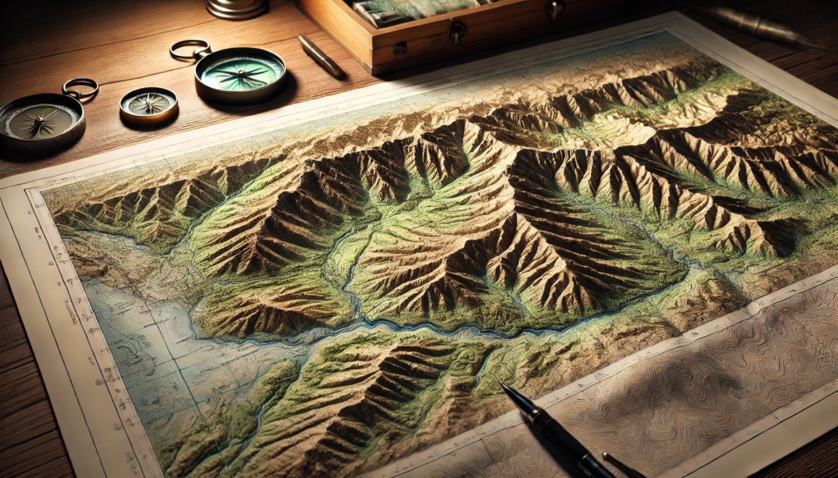
SwissTopo maps are renowned for their breathtaking depiction of Switzerland’s mountainous landscapes. Covering the country’s 16,000 square miles, these maps use shading, contour lines, and precision to illustrate the dramatic terrain of the Alps. Their detail and artistry make them popular among mountaineers, skiers, and scientists.
These maps are the product of centuries of cartographic excellence. Anecdotes of climbers successfully navigating challenging peaks like the Matterhorn thanks to SwissTopo highlight their reliability. They also serve as a reminder of the meticulous efforts required to capture such complex terrain.

#3: Carte de l’État-Major (France) – 212,000 Square Miles
The Carte de l’État-Major, created in the 19th century, maps the diverse terrains of France across 212,000 square miles. This series was initially developed for military use but quickly became a vital resource for civilian navigation and planning. Its detailed depiction of landscapes, from the vineyards of Bordeaux to the peaks of the Pyrenees, remains unparalleled.
During the Napoleonic Wars, these maps played a critical role in military strategy. Anecdotes from soldiers describe their reliance on the maps for traversing unknown territories, showcasing their practicality and historical importance.
#4: Canadian Terrain Maps – 3.8 Million Square Miles
Canada’s terrain maps cover an immense area of 3.8 million square miles, depicting everything from the rugged Rocky Mountains to the icy expanses of the Arctic. Produced by Natural Resources Canada, these maps are essential for navigating the country’s vast wilderness and understanding its diverse landscapes.
Stories from Arctic explorers and researchers illustrate the maps’ critical role in remote areas, enabling safer navigation and environmental studies. Their detailed depiction of terrain highlights Canada’s unique geography.
#5: Australian Terrain Maps – 2.9 Million Square Miles
Covering Australia’s 2.9 million square miles, these maps provide a comprehensive view of the continent’s diverse topography. From the arid Outback to the lush rainforests of Queensland, the maps detail every elevation change and natural feature.
Anecdotes from adventurers crossing the Simpson Desert or studying the Great Dividing Range emphasize the maps’ reliability. They are a confirmation to the cartographers’ skill in capturing Australia’s unique terrain.
#6: Himalayan Terrain Maps – 230,000 Square Miles
The Himalayan terrain maps depict the world’s tallest mountain range, spanning 230,000 square miles across countries like Nepal, India, and Tibet. These maps are indispensable for climbers tackling peaks like Everest and K2, offering detailed contour lines and elevation data.
Stories from expeditions highlight the maps’ critical role in navigating treacherous environments. They serve as a lifeline for climbers, enabling safer ascents and descents.
#7: Ordnance Survey Maps (UK) – 94,000 Square Miles
The Ordnance Survey maps of the United Kingdom cover approximately 94,000 square miles, showcasing the country’s rolling hills, valleys, and coastlines. First created for military purposes in the 18th century, these maps have evolved into a vital resource for hikers and planners.
Their rich history includes anecdotes of explorers using them to traverse the countryside, reflecting their precision and reliability.
#8: Soviet Military Maps – Global Coverage
The Soviet Military Maps offer a unique perspective on terrain mapping, with detailed coverage of much of the globe. Produced during the Cold War, these maps are known for their accuracy and comprehensive data, making them valuable for both military and civilian use.
Stories of hikers and researchers discovering these maps in archives highlight their lasting utility and intrigue.
#9: New Zealand Terrain Maps – 103,000 Square Miles
New Zealand’s terrain maps cover 103,000 square miles of stunning landscapes, including mountains, fjords, and volcanic features. These maps are essential for hikers exploring trails like the Milford Track or Tongariro Alpine Crossing.
Anecdotes from outdoor enthusiasts underscore their importance in navigating the country’s challenging yet breathtaking terrain.
#10: Dymaxion Map – Global Representation
The Dymaxion map, created by Buckminster Fuller, is a unique representation of global terrain on a flat icosahedron. Though unconventional, it minimizes distortion and emphasizes the interconnectedness of landmasses and natural features.
Fuller’s vision and innovative approach have inspired cartographers and environmentalists alike, offering a fresh perspective on Earth’s terrain.
Terrain maps provide a window into the world’s diverse landscapes, blending artistry and precision to capture the beauty and complexity of the Earth. These top 10 terrain maps showcase the power of cartography in exploration, science, and understanding our planet. From the towering peaks of the Himalayas to the rolling hills of the UK, each map tells a story of discovery and connection.


