Top 10 Unique Characteristics of the Mississippi River
Top 10 Unique Characteristics of the Mississippi River
WhiteClouds builds 3D Raised Relief Maps
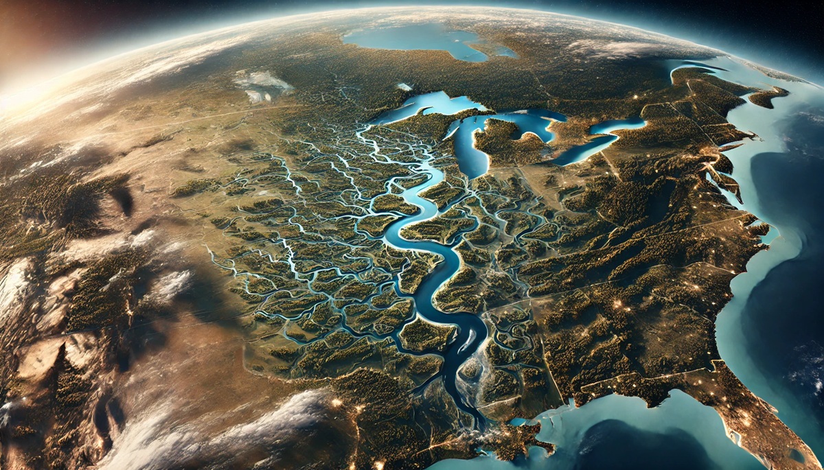
The Mississippi River is one of the most iconic natural wonders in North America, stretching over vast landscapes and influencing the history, culture, and economy of the United States. With its enormous size and unique features, the river plays a significant role in shaping the environment and communities along its path. Here is a list of the top 10 unique characteristics of the Mississippi River, ranked by size and importance.
#1: Length – 2,340 Miles
The Mississippi River’s immense length, spanning approximately 2,340 miles, makes it the second-longest river in North America, only surpassed by the Missouri River. It originates from Lake Itasca in Minnesota and flows southward, emptying into the Gulf of Mexico. The river’s path winds through ten states, including Minnesota, Wisconsin, Iowa, Illinois, Missouri, Kentucky, Tennessee, Arkansas, Mississippi, and Louisiana, covering a massive drainage basin. This length has not only made the river a lifeline for transportation and trade but also a muse for writers, artists, and historians. Mark Twain’s vivid descriptions in “The Adventures of Huckleberry Finn” highlight the river’s role as a symbol of freedom and adventure. Historically, Native American tribes relied on the river for sustenance and trade, and later, it became a crucial route for early European explorers. Today, it supports recreational activities like fishing, boating, and tourism, drawing millions to its scenic banks each year.
#2: Drainage Basin – 1.2 Million Square Miles
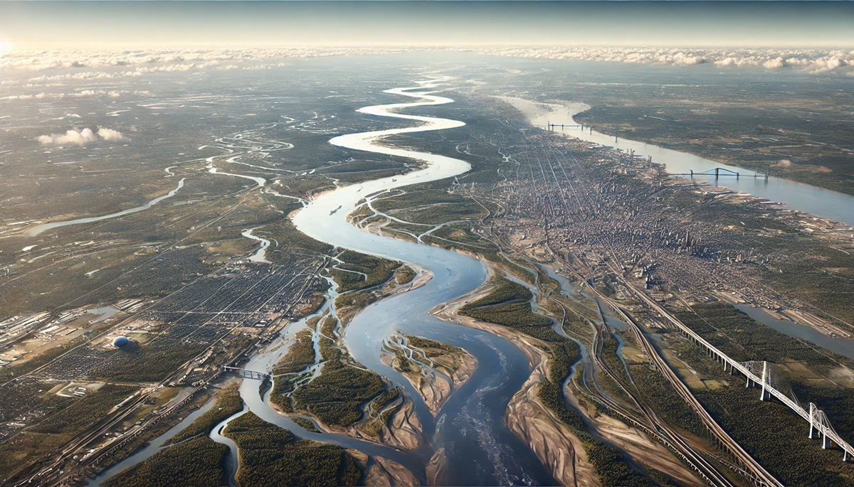
The Mississippi River’s drainage basin is a vast network covering approximately 1.2 million square miles, encompassing parts of 31 U.S. states and two Canadian provinces. This basin collects water from major tributaries like the Missouri, Ohio, and Arkansas Rivers. It’s one of the most fertile agricultural regions globally, producing significant portions of the country’s corn, soybeans, and wheat. Anecdotal accounts from farmers often emphasize the river’s role in shaping their livelihoods, with seasonal floods sometimes proving both a boon and a challenge. Historically, the basin’s fertile soils drew settlers, fueling westward expansion and leading to the establishment of vibrant communities. The Mississippi River Delta at the basin’s southern end is a critical ecological zone, hosting diverse species of fish, birds, and plants.
#3: River Width – Up to 11 Miles at Its Widest Point
The river’s width varies dramatically, from mere feet at its source in Minnesota to an astounding 11 miles at its widest point near Lake Pepin in Minnesota and Wisconsin. This width has been a defining characteristic, offering expansive views and supporting extensive commerce. Historically, the river’s width presented challenges for early settlers and traders who had to devise ways to cross or navigate its waters. Today, massive bridges span its width in major cities like St. Louis and Memphis, connecting communities and facilitating transportation.
#4: Depth – Up to 200 Feet
The Mississippi’s depth reaches up to 200 feet at its deepest point near Algiers Point in New Orleans, Louisiana. This depth allows it to accommodate large vessels, making it a key artery for shipping and industry. In the 19th century, steamboats dominated the river, transporting goods and passengers. Stories of steamboat races and riverboat casinos still captivate historians and enthusiasts. Today, barges transport millions of tons of cargo annually, underscoring the river’s economic importance.
#5: Annual Discharge – 593,000 Cubic Feet Per Second
The Mississippi River’s average annual discharge is 593,000 cubic feet per second, making it one of the most powerful rivers in the world. This massive flow influences ecosystems, weather patterns, and human activity along its banks. Historical floods, such as the Great Mississippi Flood of 1927, highlight the river’s potential for devastation but also its role in shaping federal flood control policies. Modern levees and dams attempt to manage this immense flow while protecting nearby communities.
#6: Watershed Population – Over 18 Million People
More than 18 million people live within the Mississippi River’s watershed, relying on its waters for drinking, irrigation, and recreation. Cities like Minneapolis, St. Louis, and New Orleans owe much of their growth and prosperity to their proximity to the river. Tales of community resilience during floods and hurricanes, such as Hurricane Katrina, underscore the strong ties between residents and the river. Public efforts to clean and preserve the river reflect its ongoing importance.
#7: Biodiversity – 260+ Fish Species
The Mississippi River is a haven for biodiversity, hosting over 260 species of fish, making it one of the most diverse freshwater ecosystems in the world. This biodiversity supports commercial fishing industries and recreational anglers. Anecdotes about record-breaking catches and conservation efforts highlight the river’s role in sustaining livelihoods and ecosystems. Historically, Native Americans depended on this biodiversity for food and trade, a tradition carried on by modern fishers.
#8: Historical Significance – Centuries of Human Use
The Mississippi River has been central to human activity for centuries, serving as a trade route, cultural symbol, and inspiration. From Native American canoes to steamboats and modern barges, its waters have carried countless stories. Early French explorers like Hernando de Soto and Jacques Marquette documented their journeys, cementing the river’s place in history. Today, museums, festivals, and monuments celebrate its rich legacy.
#9: Navigation Locks – 29 Lock-and-Dam Systems
The Mississippi River’s navigation is supported by 29 lock-and-dam systems, primarily on the Upper Mississippi. These systems ensure a consistent depth for shipping, enabling the transport of goods like grain, coal, and petroleum. Stories of workers who maintain these structures and the challenges of navigating them in extreme weather offer a glimpse into the daily life along the river. These systems represent a balance between industrial needs and environmental preservation.
#10: Cultural Impact – Countless Artistic Tributes
The Mississippi River’s cultural impact is immeasurable, inspiring music, literature, and art. From the blues of the Mississippi Delta to the works of Mark Twain, the river has shaped American culture. Festivals like the New Orleans Jazz Festival celebrate this cultural heritage, attracting visitors from around the globe. Personal stories of musicians and writers finding inspiration along the riverbanks highlight its role as a source of creativity and identity.
The Mississippi River’s unique characteristics underscore its significance as a natural and cultural landmark. From its sheer size to its deep historical and ecological importance, the river continues to shape the landscapes and communities it touches. Its enduring legacy ensures that it will remain a symbol of America’s natural beauty and resilience for generations to come.


