Rivers and maps share a poetic synergy, weaving the stories of the Earth in sinuous lines and flowing paths. A river on a map is more than just a symbol; it is the lifeblood of a region, carving its identity into the land and connecting distant worlds. Like veins in a living organism, rivers course through valleys and plains, meandering with purpose yet shaped by whim. Maps capture this elegance, their etched contours tracing the journey of water from mountain springs to ocean waves. Each curve tells a tale of ancient glaciers that sculpted the terrain, of explorers who followed the water’s call, and of civilizations that rose and thrived along their banks. A maps depiction of rivers is both art and utility, a promise of sustenance and a reminder of the Earth’s constant movement. Even as we stare at a static image, our imagination flows with the currents, dreaming of uncharted lands and the mysteries of the distant deltas. Together, rivers and maps are not merely tools for navigation but storytellers of a world in motion.
Top 10 Widest Rivers in the World
Top 10 Widest Rivers in the World
WhiteClouds builds 3D Raised Relief Maps
Rivers are among the most captivating natural features on Earth, serving as vital sources of water, transportation, and life for civilizations across the globe. Beyond their functional importance, rivers are also stunning natural spectacles, with some standing out due to their incredible width. The breadth of a river can be influenced by factors like seasonal flooding, its delta, or the presence of multiple channels. This list explores the top 10 widest rivers in the world, diving into their characteristics, histories, and fascinating stories that make them legendary.
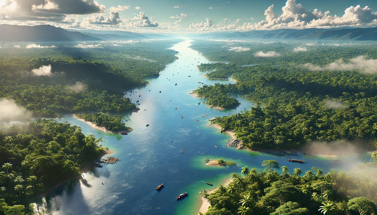
#1: Amazon River – Over 24 Miles Wide
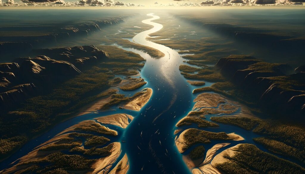
The Amazon River is a marvel of nature, not only as the widest river in the world but also as one of its longest and most voluminous. During the rainy season, its width can expand to over 24 miles, encompassing vast floodplains and creating an almost ocean-like appearance. Located primarily in Brazil but stretching into Peru, Colombia, and several other countries, the Amazon flows through the heart of the world’s largest rainforest. The river’s sheer scale supports an extraordinary array of biodiversity, from pink river dolphins to massive anacondas.
The Amazon’s history is steeped in mystery and adventure, with early European explorers like Francisco de Orellana documenting its vastness and encountering indigenous cultures. Anecdotes about its mythical creatures, such as giant serpents and the elusive Yacumama, have fascinated locals and outsiders alike. Today, the river remains a crucial lifeline for millions of people, providing food, water, and transportation while continuing to inspire awe and wonder.
#2: Congo River – Over 15 Miles Wide
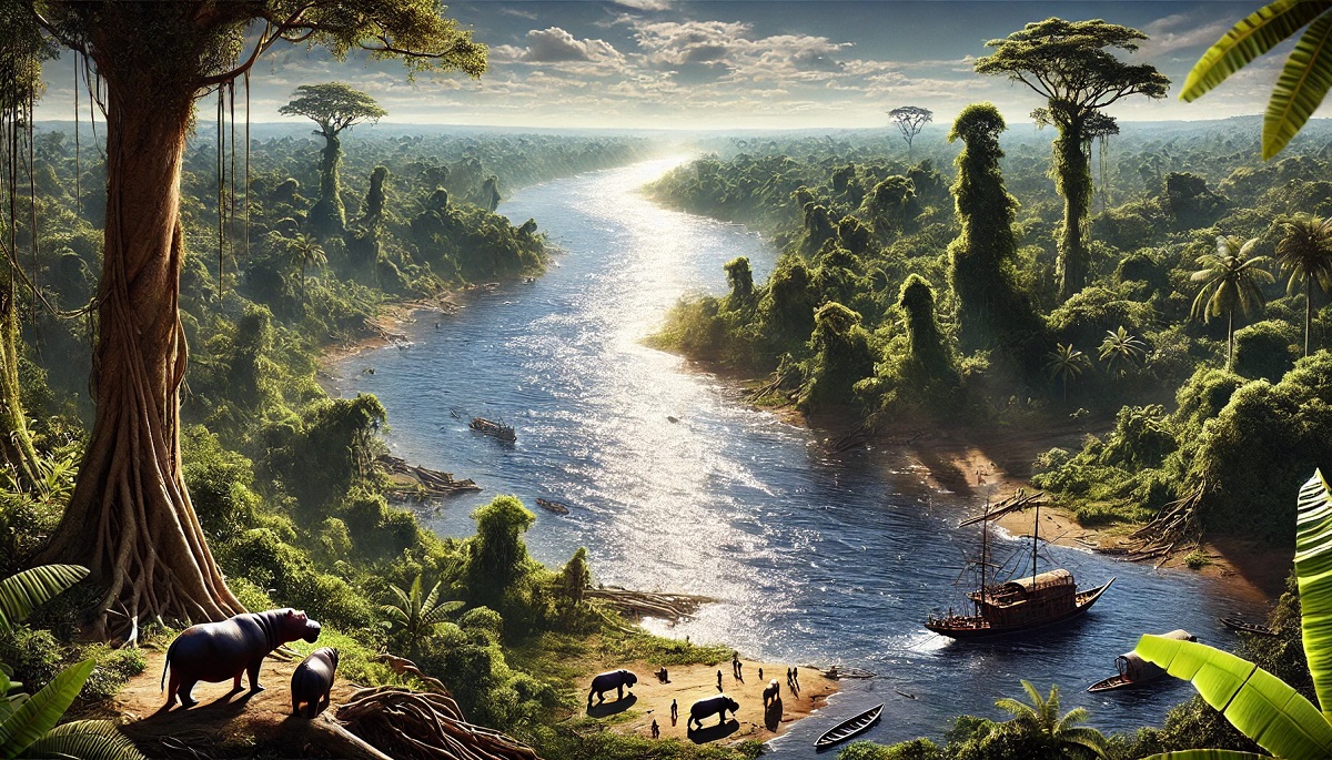
The Congo River in Central Africa is a geographical giant, spreading over 15 miles wide during its flood stage. It holds the title of the world’s deepest river, plunging to depths of over 720 feet, and is a vital artery for the Democratic Republic of Congo and its neighbors. The river snakes through dense rainforests, supporting a unique ecosystem that includes endangered species like bonobos and forest elephants.
Historically, the Congo River played a central role in the exploration and colonization of Africa. It was immortalized in Joseph Conrad’s novel Heart of Darkness, symbolizing both the beauty and peril of the continent. Anecdotes about treacherous rapids, such as the Inga Falls, highlight its power, while its cultural significance is evident in local folklore and traditions. Despite its challenges, including navigation difficulties, the Congo River remains a lifeline for communities along its banks.
#3: Yangtze River – Over 8 Miles Wide
The Yangtze River in China is Asia’s longest river and spreads over 8 miles wide in certain sections. Flowing for over 3,900 miles, it traverses diverse landscapes, from the Tibetan Plateau to the East China Sea. The river has long been a cradle of Chinese civilization, supporting agriculture, trade, and cultural development.
One of the Yangtze’s most iconic features is the Three Gorges, a series of dramatic canyons that are both a natural wonder and a source of hydroelectric power through the Three Gorges Dam. Anecdotal tales of the river include legends of dragons and spirits said to inhabit its waters. Its importance to China’s history and economy cannot be overstated, as it continues to serve as a vital transportation and irrigation resource for millions of people.
#4: Mississippi River – Over 7 Miles Wide
The Mississippi River, a defining feature of North America, can stretch over 7 miles wide during its flood stages. This iconic river runs over 2,300 miles from its source in Minnesota to the Gulf of Mexico, weaving through the heartland of the United States. Its extensive watershed has made it a critical corridor for commerce and agriculture for centuries.
The Mississippi is rich in history, serving as a lifeline for Native American tribes and a critical avenue for exploration and settlement during the colonial era. Anecdotes about steamboat travel and legendary figures like Mark Twain’s Huck Finn capture the river’s cultural significance. Today, it remains an essential waterway for transporting goods, with a diverse ecosystem that includes migratory birds, fish, and mammals.
#5: Paraná River – Over 6 Miles Wide
The Paraná River, running through Brazil, Paraguay, and Argentina, reaches widths of over 6 miles in its lower stretches. It is South America’s second-longest river and a critical resource for the region’s economy and ecology. The Paraná’s waters are harnessed by the Itaipu Dam, one of the largest hydroelectric projects in the world.
This river’s history is deeply intertwined with the cultures of indigenous peoples and European settlers. Tales of explorers navigating its powerful currents and waterfalls, such as the awe-inspiring Iguazu Falls, highlight its grandeur. The Paraná continues to support diverse ecosystems, providing a habitat for species like the jaguar and giant otter.
#6: Mekong River – Over 5 Miles Wide
The Mekong River, spanning over 5 miles in width during the monsoon season, flows through six countries in Southeast Asia, including China, Thailand, and Vietnam. It is a lifeline for millions, providing food, water, and transportation. The river’s vast delta is among the most fertile agricultural regions in the world.
Historically, the Mekong has been a source of myth and legend, with stories of Naga serpents guarding its waters. Its role in regional trade and cultural exchange is unparalleled, connecting diverse communities along its banks. Anecdotal tales of fishing competitions and floating markets add to its vibrant character.
#7: Brahmaputra River – Over 4 Miles Wide
The Brahmaputra River, with a width exceeding 4 miles in parts, flows through Tibet, India, and Bangladesh. It is one of the few rivers in the world to exhibit a tidal bore, where incoming tides reverse the river’s flow. The Brahmaputra is also prone to devastating floods, impacting millions annually.
This river’s history is intertwined with ancient Indian epics and Tibetan Buddhist traditions. Its waters are revered as sacred, and its delta supports some of the world’s most densely populated regions. Anecdotes about its unpredictable currents and seasonal changes highlight the challenges and beauty of living along its banks.
#8: Ganges River – Over 3 Miles Wide
The Ganges River, often exceeding 3 miles in width, is not only a geographical feature but a sacred entity for millions of Hindus. Flowing through India and Bangladesh, the Ganges supports one of the world’s most fertile regions. Its waters are used for irrigation, drinking, and religious rituals.
The river’s history is deeply rooted in mythology, with stories of its descent from the heavens. Anecdotes of pilgrims bathing in its waters during festivals like the Kumbh Mela underscore its spiritual importance. Despite challenges like pollution, efforts to restore the Ganges’ health continue to reflect its enduring significance.
#9: Yenisei River – Over 2 Miles Wide
The Yenisei River in Siberia spans over 2 miles in width in several sections, making it one of the widest rivers in Russia. Flowing from Mongolia to the Arctic Ocean, the river traverses vast and remote landscapes, supporting unique ecosystems and indigenous communities.
The Yenisei’s history is tied to ancient trade routes and exploration. Tales of fur traders navigating its icy waters and encounters with Siberian wildlife add to its mystique. Despite its harsh climate, the river remains a crucial resource for hydropower and transportation.
#10: Lena River – Over 1.8 Miles Wide
The Lena River, another Siberian giant, reaches widths of over 1.8 miles. It flows over 2,700 miles through Russia, draining into the Arctic Ocean. The river’s delta is a pristine wilderness, home to migratory birds and other wildlife.
Historically, the Lena has been a lifeline for nomadic tribes and a route for explorers venturing into Siberia’s vastness. Anecdotal stories of enduring the region’s extreme cold and navigating its braided channels reflect the resilience required to live along its course. The Lena remains a symbol of Siberia’s untamed beauty.
These rivers, with their immense widths and fascinating histories, underscore the sheer power and majesty of nature. From the Amazon’s unparalleled biodiversity to the Lena’s Arctic serenity, each river tells a story of life, culture, and resilience. They continue to shape the landscapes and communities they touch, reminding us of their vital role in the Earth’s ecosystem and our shared heritage.
More Great Top 10’s
Rivers and Maps
Learn more about Maps
- Topographical Maps: Representation of the physical features of a region or area.
- Contour Maps: Representation of the contours of the land surface or ocean floor.
- Raised Relief Maps: Representation of land elevations with raised features indicating landforms.
- Terrain Maps: Representation of the physical features of a terrain or landmass.
- USGS Topographic Maps: Representation of topographic features and land elevations based on USGS data.
- USGS Historical Topographic Maps: Representation of historical topographic maps created by the USGS.
- Watershed Maps: Representation of the areas where water flows into a particular river or lake.
- Elevation Maps: Representation of land and water elevations with high precision.
- Physical Maps: Representation of physical features of the Earth’s surface such as landforms, oceans, and plateaus.
- Bathymetric Maps: Representation of the topography and features of the ocean floor.
- NOAA Maps: Representation of atmospheric, oceanographic, and environmental data by NOAA.
- Nautical Maps: Representation of the underwater features and depth of an area for navigation purposes.
- Geologic Maps: Representation of the geologic features of an area such as rock types, faults, and folds.
- Satellite Maps: Representation of earth from high-definition satellite imagery.
Contact us today to learn more about our services and how we can help you achieve your goals.


